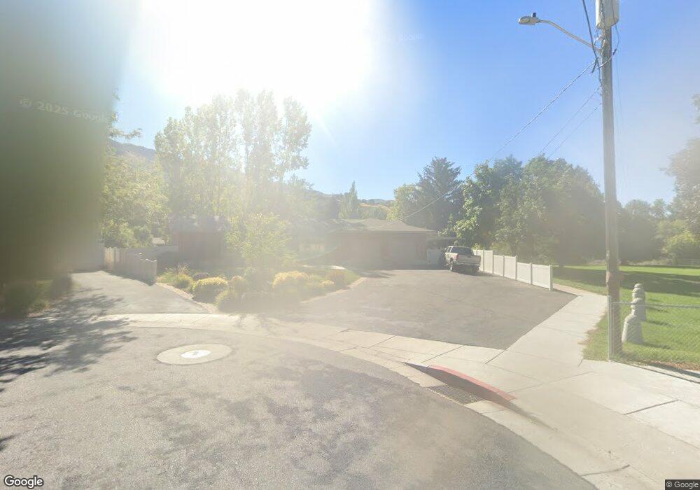
238 Lauralin Dr Logan, UT 84321
Wilson NeighborhoodEstimated Value: $531,000 - $572,751
Studio
--
Bath
1,601
Sq Ft
$344/Sq Ft
Est. Value
About This Home
This home is located at 238 Lauralin Dr, Logan, UT 84321 and is currently estimated at $550,438, approximately $343 per square foot. 238 Lauralin Dr is a home with nearby schools including Wilson School, Mount Logan Middle School, and Logan High School.
Ownership History
Date
Name
Owned For
Owner Type
Purchase Details
Closed on
Feb 4, 2026
Sold by
T & M Johnson Properties Lc
Bought by
Johnson Family Trust and Johnson
Current Estimated Value
Purchase Details
Closed on
Sep 22, 2011
Sold by
T&M Johnson Properties Lc
Bought by
City Of Logan
Purchase Details
Closed on
Dec 26, 2008
Sold by
Whagtail J Llc
Bought by
T&M Johnson Properties Lc
Purchase Details
Closed on
Dec 20, 2007
Sold by
Johnson Todd William
Bought by
Whagtail J Llc
Create a Home Valuation Report for This Property
The Home Valuation Report is an in-depth analysis detailing your home's value as well as a comparison with similar homes in the area
Home Values in the Area
Average Home Value in this Area
Purchase History
| Date | Buyer | Sale Price | Title Company |
|---|---|---|---|
| Johnson Family Trust | -- | Hickman Land Title | |
| City Of Logan | -- | None Available | |
| T&M Johnson Properties Lc | -- | None Available | |
| Whagtail J Llc | -- | None Available |
Source: Public Records
Tax History
| Year | Tax Paid | Tax Assessment Tax Assessment Total Assessment is a certain percentage of the fair market value that is determined by local assessors to be the total taxable value of land and additions on the property. | Land | Improvement |
|---|---|---|---|---|
| 2025 | $2,527 | $326,870 | $0 | $0 |
| 2023 | $2,719 | $324,670 | $0 | $0 |
| 2022 | $2,493 | $277,920 | $0 | $0 |
| 2021 | $2,411 | $415,240 | $115,000 | $300,240 |
| 2020 | $2,356 | $365,200 | $115,000 | $250,200 |
| 2019 | $2,300 | $341,125 | $115,000 | $226,125 |
| 2018 | $2,264 | $306,632 | $115,000 | $191,632 |
| 2017 | $1,721 | $123,255 | $0 | $0 |
| 2016 | $1,785 | $123,255 | $0 | $0 |
| 2015 | $1,787 | $123,255 | $0 | $0 |
| 2014 | $1,433 | $109,360 | $0 | $0 |
| 2013 | -- | $109,360 | $0 | $0 |
Source: Public Records
Map
Nearby Homes
- 1045 Fox Farm Rd
- 1034 Thrushwood Dr
- 2758 N Canyon Cove Dr
- 2738 N Canyon Cove Dr
- 28 River Pointe Dr
- 70 River Pointe Dr
- 74 Canterbury Cir
- 1164 E Mountain Rd
- 684 Apple Dr
- 1147 Eastridge Dr
- 1374 E 260 N
- 1387 E 260 N
- 622 Canyon Rd
- 128 S 1170 E
- 545 E Boulevard St
- 664 E Center St
- 45 River Circle Dr
- 640 E 600 N
- 620 E 600 N
- 631 E 600 N
- 248 Lauralin Dr
- 1025 Sumac Dr
- 1035 Sumac Dr
- 247 Lauralin Dr
- 264 Lauralin Dr
- 263 Lauralin Dr
- 1007 Sumac Dr
- 1040 Sumac Dr
- 277 Lauralin Dr
- 1041 Sumac Dr
- 999 Sumac Dr
- 278 Lauralin Dr
- 1016 Sumac Dr
- 170 Riverside Dr
- 991 Sumac Dr
- 1048 Sumac Dr
- 1049 Sumac Dr
- 1053 Fox Farm Rd
- 293 Lauralin Dr
- 194 N Thrushwood Dr
Your Personal Tour Guide
Ask me questions while you tour the home.