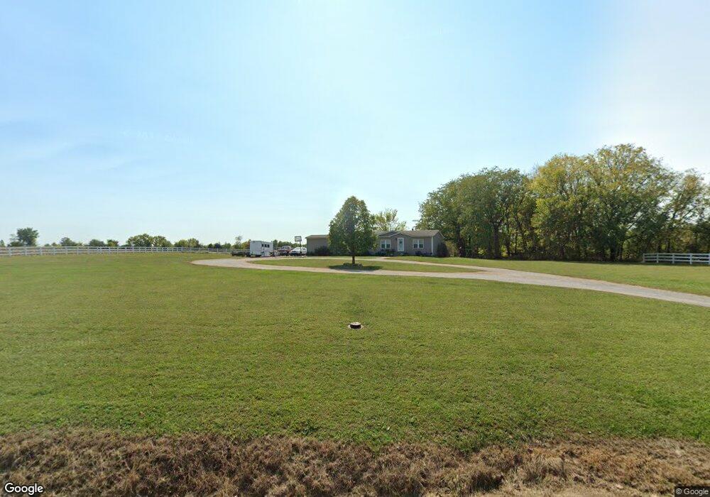
23805 E 189th St Pleasant Hill, MO 64080
Estimated Value: $422,958 - $559,000
3
Beds
2
Baths
1,680
Sq Ft
$296/Sq Ft
Est. Value
About This Home
This home is located at 23805 E 189th St, Pleasant Hill, MO 64080 and is currently estimated at $497,990, approximately $296 per square foot. 23805 E 189th St is a home located in Cass County with nearby schools including Pleasant Hill Primary School, Pleasant Hill Elementary School, and Pleasant Hill Middle School.
Ownership History
Date
Name
Owned For
Owner Type
Purchase Details
Closed on
Mar 15, 2025
Sold by
Betts David Michael
Bought by
Betts David Michael and Betts Anna Lee
Current Estimated Value
Home Financials for this Owner
Home Financials are based on the most recent Mortgage that was taken out on this home.
Original Mortgage
$227,920
Outstanding Balance
$226,758
Interest Rate
6.89%
Mortgage Type
FHA
Estimated Equity
$271,232
Create a Home Valuation Report for This Property
The Home Valuation Report is an in-depth analysis detailing your home's value as well as a comparison with similar homes in the area
Home Values in the Area
Average Home Value in this Area
Purchase History
| Date | Buyer | Sale Price | Title Company |
|---|---|---|---|
| Betts David Michael | -- | None Listed On Document | |
| Betts David Michael | -- | None Listed On Document |
Source: Public Records
Mortgage History
| Date | Status | Borrower | Loan Amount |
|---|---|---|---|
| Open | Betts David Michael | $227,920 | |
| Closed | Betts David Michael | $227,920 |
Source: Public Records
Tax History Compared to Growth
Tax History
| Year | Tax Paid | Tax Assessment Tax Assessment Total Assessment is a certain percentage of the fair market value that is determined by local assessors to be the total taxable value of land and additions on the property. | Land | Improvement |
|---|---|---|---|---|
| 2024 | $2,013 | $33,300 | $6,300 | $27,000 |
| 2023 | $2,006 | $33,300 | $6,300 | $27,000 |
| 2022 | $1,853 | $30,340 | $6,300 | $24,040 |
| 2021 | $1,792 | $30,340 | $6,300 | $24,040 |
| 2020 | $1,435 | $25,020 | $6,300 | $18,720 |
| 2019 | $1,411 | $25,020 | $6,300 | $18,720 |
| 2018 | $1,328 | $22,320 | $5,040 | $17,280 |
| 2017 | $1,278 | $22,320 | $5,040 | $17,280 |
| 2016 | $1,278 | $21,460 | $5,040 | $16,420 |
| 2015 | $1,298 | $21,460 | $5,040 | $16,420 |
| 2014 | $1,305 | $21,460 | $5,040 | $16,420 |
| 2013 | -- | $21,460 | $5,040 | $16,420 |
Source: Public Records
Map
Nearby Homes
- 24908 E 199th St
- 23200 E 175th St
- 26400 E State Route 58
- 24008 E 205th St
- 17310 S Gray Dr
- 218 N Boardman St
- 122 N Taylor St
- 105 N Campbell St
- 125 Sitter St
- 418 N Taylor St
- 213 Sitter St
- 201 Sitter St
- 20601 E State Route P
- 802 Pine St
- 0 Locust St
- Lot 8 175th St
- 1704 Mulberry St
- 1700 Mulberry St
- 502 N Armstrong St
- 313 Clearview Dr
- 23611 E 189th St
- 24101 E 189th St
- 23509 E 189th St
- 24000 E 189th St
- 19100 S Hickory Grove Rd
- 23404 E 189th St
- 19110 S Hickory Grove Rd
- 24101 E 191st St
- 19120 S Hickory Grove Rd
- 23308 E 189th St
- 24010 E 189th St
- 18901 S Hickory Grove Rd
- 19204 S Dickerson Rd
- 18900 S Hickory Grove Rd
- 19216 S Hickory Grove Rd
- 0 E 189th St Unit 2110244
- 0 E 189th St Unit 1603746
- 0 E 189th St Unit 1400246
- 23501 E 189th St
- 19023 S Hickory Grove Rd