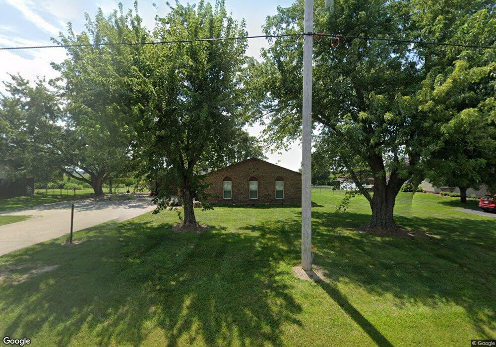
2381 State Route 730 Wilmington, OH 45177
Estimated Value: $294,409 - $363,000
4
Beds
2
Baths
2,142
Sq Ft
$156/Sq Ft
Est. Value
About This Home
This home is located at 2381 State Route 730, Wilmington, OH 45177 and is currently estimated at $334,602, approximately $156 per square foot. 2381 State Route 730 is a home located in Clinton County with nearby schools including East End Elementary School, Roy E. Holmes Elementary School, and Denver Place Elementary School.
Ownership History
Date
Name
Owned For
Owner Type
Purchase Details
Closed on
Sep 27, 2019
Sold by
Thomas Loretta and Thomas James
Bought by
L T Land Development Llc
Current Estimated Value
Purchase Details
Closed on
Jun 16, 2016
Sold by
Turner Randal Lee and Turner Deborah Rae
Bought by
Thomas Loretta and Thomas James
Purchase Details
Closed on
Nov 8, 2000
Sold by
Farkas Scott M
Bought by
Turner Raymond L and Turner Ava L
Home Financials for this Owner
Home Financials are based on the most recent Mortgage that was taken out on this home.
Original Mortgage
$50,000
Interest Rate
8.5%
Mortgage Type
New Conventional
Purchase Details
Closed on
Jan 1, 1990
Bought by
Farkas Scott M
Create a Home Valuation Report for This Property
The Home Valuation Report is an in-depth analysis detailing your home's value as well as a comparison with similar homes in the area
Home Values in the Area
Average Home Value in this Area
Purchase History
| Date | Buyer | Sale Price | Title Company |
|---|---|---|---|
| L T Land Development Llc | $170,000 | None Available | |
| Thomas Loretta | $135,000 | None Available | |
| Turner Raymond L | $135,000 | -- | |
| Farkas Scott M | -- | -- |
Source: Public Records
Mortgage History
| Date | Status | Borrower | Loan Amount |
|---|---|---|---|
| Previous Owner | Turner Raymond L | $50,000 |
Source: Public Records
Tax History Compared to Growth
Tax History
| Year | Tax Paid | Tax Assessment Tax Assessment Total Assessment is a certain percentage of the fair market value that is determined by local assessors to be the total taxable value of land and additions on the property. | Land | Improvement |
|---|---|---|---|---|
| 2024 | $2,783 | $86,520 | $10,850 | $75,670 |
| 2023 | $2,783 | $86,520 | $10,850 | $75,670 |
| 2022 | $2,135 | $62,230 | $9,300 | $52,930 |
| 2021 | $2,161 | $62,230 | $9,300 | $52,930 |
| 2020 | $2,088 | $62,230 | $9,300 | $52,930 |
| 2019 | $1,728 | $57,420 | $9,280 | $48,140 |
| 2018 | $1,744 | $57,420 | $9,280 | $48,140 |
| 2017 | $1,000 | $57,420 | $9,280 | $48,140 |
| 2016 | $1,729 | $49,350 | $9,030 | $40,320 |
| 2015 | $1,728 | $49,350 | $9,030 | $40,320 |
| 2013 | $1,789 | $49,350 | $9,030 | $40,320 |
Source: Public Records
Map
Nearby Homes
- 2746 State Route 730
- 1985 State Route 730
- 1957 Ohio 730
- 1452 Meadow Ridge Cir
- 1219 Blue Spruce Ln
- 1243 Blue Spruce Ln
- 514 Red Maple Ln
- 490 Red Maple Ln
- 1087 Warren Dr
- 166 Glenwood Cir
- 914 Hickory Trail Dr
- 89 Cambo Place
- ac Cuba Rd
- 462 Randolph St
- 1052 Linhof Rd
- 807 Linkhart Rd
- 909 W Main St
- 629 Oakridge Dr
- 1244 Mayfair Dr
- 1706 Woodside Dr
- 2381 St Rt 730
- 2405 Ohio 730
- 2405 State Route 730
- 2357 State Route 730
- 2429 Ohio 730
- 2333 State Route 730
- 2429 State Route 730
- 2309 State Route 730
- 2285 State Route 730
- 2491 State Route 730
- 2261 State Route 730
- 2239 State Route 730
- 2213 St Rt 730
- 2213 State Route 730
- 2548 Ohio 730
- 2189 State Route 730
- 2584 State Route 730
- 2163 State Route 730
- 2127 State Route 730
- 2101 State Route 730