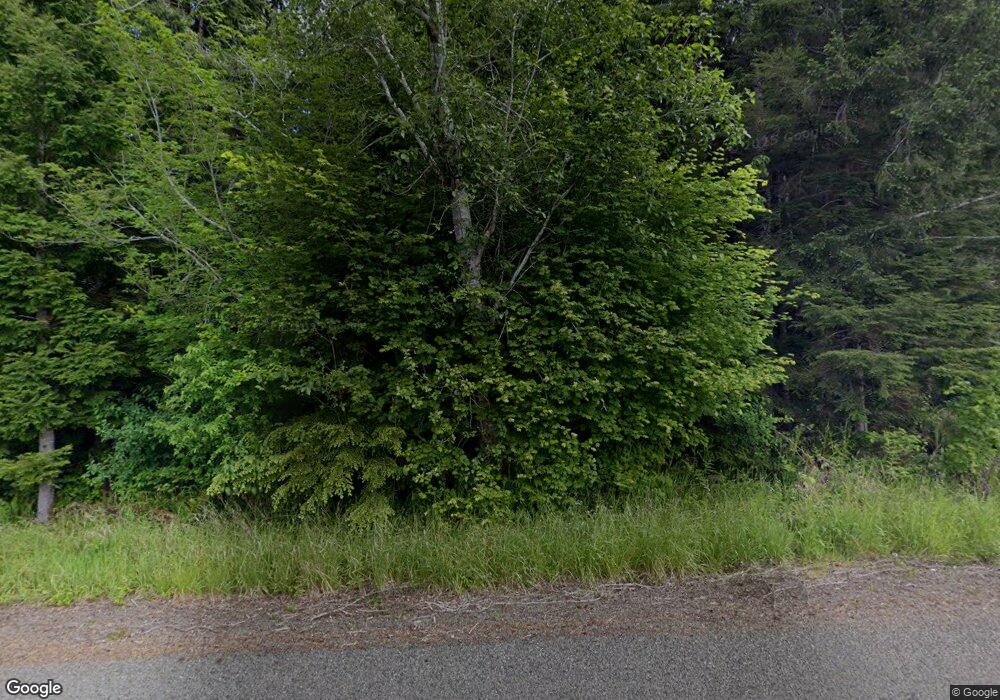
2383 Bloomhardt Rd Raymond, WA 98577
Estimated Value: $237,000 - $714,885
3
Beds
4
Baths
2,533
Sq Ft
$188/Sq Ft
Est. Value
About This Home
This home is located at 2383 Bloomhardt Rd, Raymond, WA 98577 and is currently estimated at $475,943, approximately $187 per square foot. 2383 Bloomhardt Rd is a home located in Pacific County with nearby schools including Raymond Elementary School and Raymond Junior/Senior High School.
Ownership History
Date
Name
Owned For
Owner Type
Purchase Details
Closed on
Mar 25, 2024
Sold by
Murdock Ira Tate and Murdock Jody
Bought by
Murdock Elliott and Murdock Alyssa
Current Estimated Value
Purchase Details
Closed on
Sep 9, 2010
Sold by
Shults Patricia and Runge Louis
Bought by
Murdock Ira Tate and Murdock Jody
Home Financials for this Owner
Home Financials are based on the most recent Mortgage that was taken out on this home.
Original Mortgage
$261,478
Interest Rate
4.62%
Mortgage Type
FHA
Create a Home Valuation Report for This Property
The Home Valuation Report is an in-depth analysis detailing your home's value as well as a comparison with similar homes in the area
Home Values in the Area
Average Home Value in this Area
Purchase History
| Date | Buyer | Sale Price | Title Company |
|---|---|---|---|
| Murdock Elliott | $741 | None Listed On Document | |
| Murdock Jody | $741 | None Listed On Document | |
| Murdock Ira Tate | $265,000 | First American Title Co |
Source: Public Records
Mortgage History
| Date | Status | Borrower | Loan Amount |
|---|---|---|---|
| Previous Owner | Murdock Ira Tate | $261,478 |
Source: Public Records
Tax History Compared to Growth
Tax History
| Year | Tax Paid | Tax Assessment Tax Assessment Total Assessment is a certain percentage of the fair market value that is determined by local assessors to be the total taxable value of land and additions on the property. | Land | Improvement |
|---|---|---|---|---|
| 2025 | $4,636 | $13,200 | $13,200 | -- |
| 2024 | $4,636 | $686,900 | $167,900 | $519,000 |
| 2023 | $4,083 | $557,300 | $142,100 | $415,200 |
| 2022 | $3,753 | $395,200 | $132,200 | $263,000 |
| 2021 | $3,271 | $313,800 | $105,000 | $208,800 |
| 2020 | $3,187 | $290,600 | $97,200 | $193,400 |
| 2019 | $2,744 | $267,300 | $89,400 | $177,900 |
| 2018 | $3,930 | $232,500 | $77,800 | $154,700 |
| 2017 | $3,708 | $232,500 | $77,800 | $154,700 |
| 2015 | $2,794 | $162,000 | $65,500 | $96,500 |
| 2014 | -- | $162,000 | $65,500 | $96,500 |
| 2012 | -- | $174,900 | $65,500 | $109,400 |
Source: Public Records
Map
Nearby Homes
- 1851 Bloomhardt Rd
- 1508 Bloomhardt Rd
- 1721 Fowler Rd
- 245 Joe Rocky Rd
- 1132 Fowler St
- 2900 Mallis Landing Rd
- 927 Clay Ave
- 514 Mckinley Ave
- 1017 Ballentine St
- 1480 Pacific Ave
- 802 May St
- 910 Barnhart St
- 0 X Morris St
- 0 XXX Gerber Ave
- 1849 Gerber St
- 925 Limit St
- 0 XXX Henkle (Hwy 6) St
- 0 X Willapa Rd
- 257 State Route 6
- 0 Clement Rd Unit NWM2437075
- 1001 Mallis Landing Rd
- 2510 S Fork Rd
- 2392 Bloomhardt Rd
- 2515 Fowler Rd
- 2498 Fowler Rd
- 2515 S Fork Rd
- 2110 Bloomhardt Rd
- 1202 Mallis Landing Rd
- 2611 S Fork Rd
- 2424 Fowler Rd
- 2418 Fowler Rd
- 2051 Bloomhardt Rd
- 2410 Fowler Rd
- 2161 Fowler Rd
- 2163 Fowler Rd
- 2001 Fowler Rd
- 2015 Fowler Rd
- 1922 Bloomhardt Rd
