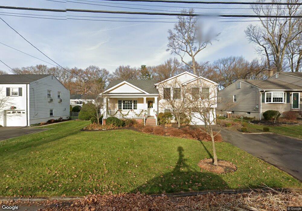
2383 Bryant Ave Scotch Plains, NJ 07076
Estimated Value: $592,050 - $1,015,000
--
Bed
--
Bath
1,594
Sq Ft
$485/Sq Ft
Est. Value
About This Home
This home is located at 2383 Bryant Ave, Scotch Plains, NJ 07076 and is currently estimated at $773,513, approximately $485 per square foot. 2383 Bryant Ave is a home located in Union County with nearby schools including Howard B. Brunner Elementary School, Nettingham Middle School, and Scotch Plains-Fanwood High School.
Ownership History
Date
Name
Owned For
Owner Type
Purchase Details
Closed on
Nov 29, 2023
Sold by
Kress Sharon Anne
Bought by
Sharon A Kress Living Trust and Kress
Current Estimated Value
Purchase Details
Closed on
Jan 10, 1997
Sold by
Storcks Robert C and Storcks Christine M
Bought by
Kress Sharon Anne
Home Financials for this Owner
Home Financials are based on the most recent Mortgage that was taken out on this home.
Original Mortgage
$194,750
Interest Rate
7.36%
Create a Home Valuation Report for This Property
The Home Valuation Report is an in-depth analysis detailing your home's value as well as a comparison with similar homes in the area
Home Values in the Area
Average Home Value in this Area
Purchase History
| Date | Buyer | Sale Price | Title Company |
|---|---|---|---|
| Sharon A Kress Living Trust | -- | None Listed On Document | |
| Sharon A Kress Living Trust | -- | None Listed On Document | |
| Kress Sharon Anne | $205,000 | -- |
Source: Public Records
Mortgage History
| Date | Status | Borrower | Loan Amount |
|---|---|---|---|
| Previous Owner | Kress Sharon Anne | $194,750 |
Source: Public Records
Tax History Compared to Growth
Tax History
| Year | Tax Paid | Tax Assessment Tax Assessment Total Assessment is a certain percentage of the fair market value that is determined by local assessors to be the total taxable value of land and additions on the property. | Land | Improvement |
|---|---|---|---|---|
| 2025 | $12,286 | $104,400 | $33,100 | $71,300 |
| 2024 | $11,924 | $104,400 | $33,100 | $71,300 |
| 2023 | $11,924 | $104,400 | $33,100 | $71,300 |
| 2022 | $11,782 | $104,400 | $33,100 | $71,300 |
| 2021 | $11,762 | $104,400 | $33,100 | $71,300 |
| 2020 | $11,705 | $104,400 | $33,100 | $71,300 |
| 2019 | $11,619 | $104,400 | $33,100 | $71,300 |
| 2018 | $11,423 | $104,400 | $33,100 | $71,300 |
| 2017 | $11,170 | $104,400 | $33,100 | $71,300 |
| 2016 | $10,955 | $104,400 | $33,100 | $71,300 |
| 2015 | $10,775 | $104,400 | $33,100 | $71,300 |
| 2014 | $10,420 | $104,400 | $33,100 | $71,300 |
Source: Public Records
Map
Nearby Homes
- 2314 Longfellow Ave
- 2286 Stocker Ln
- 2219 North Ave Unit 6
- 869 Ternay Ave
- 350 W Dudley Ave
- 2406 Park Place
- 2398 Hamlette Place
- 608 Hort St
- 2116 Newark Ave
- 143 Stanmore Place
- 2269 Redwood Rd
- 9 Timberline Dr
- 4 Lois Place
- 724 South Ave W Unit 724A
- 345 La Grande Ave
- 21 Old South Ave
- 2154 W Broad St
- 119 Lamberts Mill Rd
- 303 Prospect St
- 24 Deborah Way
- 2387 Bryant Ave
- 2368 Longfellow Ave
- 2372 Longfellow Ave
- 2393 Bryant Ave
- 2362 Longfellow Ave
- 2375 Bryant Ave
- 2376 Longfellow Ave
- 2378 Bryant Ave
- 2372 Bryant Ave
- 2358 Longfellow Ave
- 2384 Bryant Ave
- 2397 Bryant Ave
- 2368 Bryant Ave
- 2382 Longfellow Ave
- 2388 Bryant Ave
- 2364 Bryant Ave
- 2363 Bryant Ave
- 2405 Bryant Ave
- 2352 Longfellow Ave
- 2392 Bryant Ave