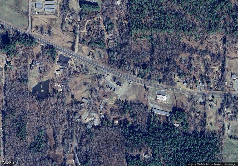
2383 Highway 270 E Unit 10 Hurricane Grove R Mount Ida, AR 71957
Estimated Value: $197,000 - $220,118
--
Bed
--
Bath
1,500
Sq Ft
$138/Sq Ft
Est. Value
About This Home
This home is located at 2383 Highway 270 E Unit 10 Hurricane Grove R, Mount Ida, AR 71957 and is currently estimated at $206,530, approximately $137 per square foot. 2383 Highway 270 E Unit 10 Hurricane Grove R is a home located in Montgomery County with nearby schools including Bobby Barrett Elementary and Mount Ida High School.
Ownership History
Date
Name
Owned For
Owner Type
Purchase Details
Closed on
Apr 18, 2024
Sold by
Mullenix Jeff and Mullenix Tonya
Bought by
Mason Larry W
Current Estimated Value
Purchase Details
Closed on
Oct 20, 2004
Bought by
Ophoff Carolyn K
Purchase Details
Closed on
Sep 18, 2002
Bought by
Elizandro Jerry and Elizandro Kathryn
Purchase Details
Closed on
Sep 10, 2002
Bought by
First National Bank Mt Ida
Purchase Details
Closed on
Apr 20, 2001
Bought by
Harris James P
Purchase Details
Closed on
Jan 24, 2000
Bought by
Harris Darren L and Harris Sheila R
Purchase Details
Closed on
Nov 16, 1998
Bought by
Lebow David and Mary Ann
Purchase Details
Closed on
Jan 26, 1996
Bought by
Lebow David and Mary Ann
Purchase Details
Closed on
Jan 1, 1910
Bought by
Lebow Ottis and Lebow Hazel
Create a Home Valuation Report for This Property
The Home Valuation Report is an in-depth analysis detailing your home's value as well as a comparison with similar homes in the area
Home Values in the Area
Average Home Value in this Area
Purchase History
| Date | Buyer | Sale Price | Title Company |
|---|---|---|---|
| Mason Larry W | $185,000 | None Listed On Document | |
| Mullenix Jeff | -- | None Listed On Document | |
| Ophoff Carolyn K | $38,000 | -- | |
| Elizandro Jerry | $215,000 | -- | |
| First National Bank Mt Ida | -- | -- | |
| Harris James P | $5,000 | -- | |
| Harris Darren L | $80,000 | -- | |
| Lebow David | -- | -- | |
| Lebow David | -- | -- | |
| Lebow Ottis | -- | -- |
Source: Public Records
Tax History Compared to Growth
Tax History
| Year | Tax Paid | Tax Assessment Tax Assessment Total Assessment is a certain percentage of the fair market value that is determined by local assessors to be the total taxable value of land and additions on the property. | Land | Improvement |
|---|---|---|---|---|
| 2024 | $1,236 | $29,550 | $12,940 | $16,610 |
| 2023 | $1,299 | $45,390 | $12,490 | $32,900 |
| 2022 | $1,079 | $25,500 | $9,150 | $16,350 |
| 2021 | $1,079 | $25,500 | $9,150 | $16,350 |
| 2020 | $1,079 | $25,500 | $9,150 | $16,350 |
| 2019 | $1,079 | $25,500 | $9,150 | $16,350 |
| 2018 | $1,079 | $25,500 | $9,150 | $16,350 |
| 2017 | $391 | $26,870 | $9,150 | $17,720 |
| 2016 | $391 | $24,780 | $7,060 | $17,720 |
| 2014 | $391 | $24,780 | $7,060 | $17,720 |
Source: Public Records
Map
Nearby Homes
- 2383 Highway 270 E
- 2592 Highway 270 E
- 46 Hawkeye Ln
- 48 Wildlife Ln
- 39 Forbes Rd
- 1219 Highway 270 E
- 1193 Highway 270 E
- 42 Dusty Trail
- 260 Hall St
- 901 Highway 270 E
- 89 Bearce Cir
- 137 N Pine St
- 113 E Simpson St
- 583 Highway 27 N
- 1593 Arkansas 27
- 1593 Highway 27 N
- 204 Laurel St
- 21 Moon Dance Rd
- 01 Yeaman Ln
- 88 Circle Dr
- 10 Hurricane Grove Rd
- 2394 Highway 270 E
- 58 Hurricane Grove Rd
- 2337 Highway 270 E
- 2337 Highway 270 E
- 2337 Highway 270 E
- 62 Hurricane Grove Rd
- 2319 Highway 270 E
- 22 Garden Dr
- 81 End of Trail Rd
- 2464 Highway 270 E
- 39 Garden Dr
- 2467 Highway 270 E
- 2291 Highway 270 E
- 2292 Highway 270 E
- 2473 Highway 270 E
- 152 Hurricane Grove Rd
- 89 Hurricane Grove Rd
- 2469 Highway 270 E
- 2135 Highway 270 E
