2383 Johns Peak Rd Central Point, OR 97502
Estimated Value: $1,245,000 - $2,243,444
4
Beds
3
Baths
1,785
Sq Ft
$977/Sq Ft
Est. Value
About This Home
This home is located at 2383 Johns Peak Rd, Central Point, OR 97502 and is currently estimated at $1,744,222, approximately $977 per square foot. 2383 Johns Peak Rd is a home located in Jackson County with nearby schools including Jacksonville Elementary School, McLoughlin Middle School, and South Medford High School.
Ownership History
Date
Name
Owned For
Owner Type
Purchase Details
Closed on
Jul 1, 2025
Sold by
Johnson Karen A and Johnson Robert R
Bought by
Johnson Karen A and Johnson Kelly Marie
Current Estimated Value
Home Financials for this Owner
Home Financials are based on the most recent Mortgage that was taken out on this home.
Original Mortgage
$450,000
Outstanding Balance
$449,244
Interest Rate
6.89%
Mortgage Type
New Conventional
Estimated Equity
$1,294,978
Create a Home Valuation Report for This Property
The Home Valuation Report is an in-depth analysis detailing your home's value as well as a comparison with similar homes in the area
Home Values in the Area
Average Home Value in this Area
Purchase History
| Date | Buyer | Sale Price | Title Company |
|---|---|---|---|
| Johnson Karen A | -- | Servicelink |
Source: Public Records
Mortgage History
| Date | Status | Borrower | Loan Amount |
|---|---|---|---|
| Open | Johnson Karen A | $450,000 |
Source: Public Records
Tax History Compared to Growth
Tax History
| Year | Tax Paid | Tax Assessment Tax Assessment Total Assessment is a certain percentage of the fair market value that is determined by local assessors to be the total taxable value of land and additions on the property. | Land | Improvement |
|---|---|---|---|---|
| 2025 | $23,507 | $1,862,743 | $726,903 | $1,135,840 |
| 2024 | $23,507 | $1,872,755 | $1,057,975 | $814,780 |
| 2023 | $22,798 | $1,818,330 | $1,027,270 | $791,060 |
| 2022 | $22,232 | $1,818,330 | $1,027,270 | $791,060 |
| 2021 | $21,668 | $1,765,489 | $997,469 | $768,020 |
| 2020 | $20,965 | $1,714,191 | $968,541 | $745,650 |
| 2019 | $20,285 | $1,616,032 | $913,172 | $702,860 |
| 2018 | $20,100 | $1,530,562 | $767,462 | $763,100 |
| 2017 | $19,498 | $1,530,562 | $767,462 | $763,100 |
| 2016 | $19,207 | $1,479,249 | $836,029 | $643,220 |
| 2015 | $18,693 | $1,479,249 | $836,029 | $643,220 |
| 2014 | $18,377 | $1,394,576 | $788,276 | $606,300 |
Source: Public Records
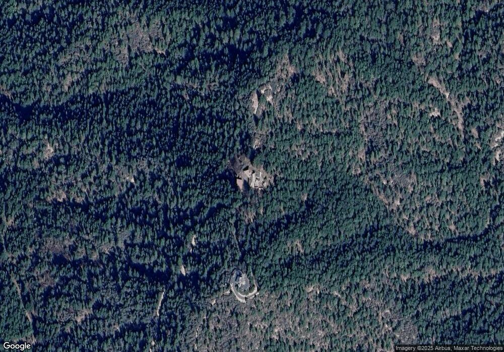
Map
Nearby Homes
- 2805 Old Military Rd
- 2555 Old Military Rd
- 1916 Old Military Rd
- 4459 Old Stage Rd
- 4228 Old Stage Rd
- 4533 Old Stage Rd
- 3307 Freeland Rd
- 3220 Freeland Rd
- 5153 Old Stage Rd
- 4700 Scenic Ave
- 4970 Old Stage Rd
- 4075 Livingston Rd
- 3506 New Ray Rd
- 4640 Scenic Ave
- 1528 Morton Way
- 3642 Oak Pine Way
- 429 Mayberry Ln
- 570 Bachand Cir
- 465 Strawberry Hill Ln
- 420 Mayberry Ln
- 0 Johns Peak Rd
- 0 Johns Peak Rd
- 0 Johns Peak Rd
- 2385 Johns Peak Rd
- 2375 Johns Peak Rd
- 2373 Old Military Rd
- 2417 Johns Peak Rd
- 2355 Johns Peak Rd
- 2299 Johns Peak Rd
- 2311 Old Military Rd
- 2425 Johns Peak Rd
- 2339 Johns Peak Rd
- 2553 Old Military Rd
- 2691 Old Military Rd
- 2881 Old Military Rd
- 2267 Old Military Rd
- 2255 Johns Peak Rd
- 2321 Johns Peak Rd
- 2321 Johns Peak Rd
- 2321 Johns Peak Rd