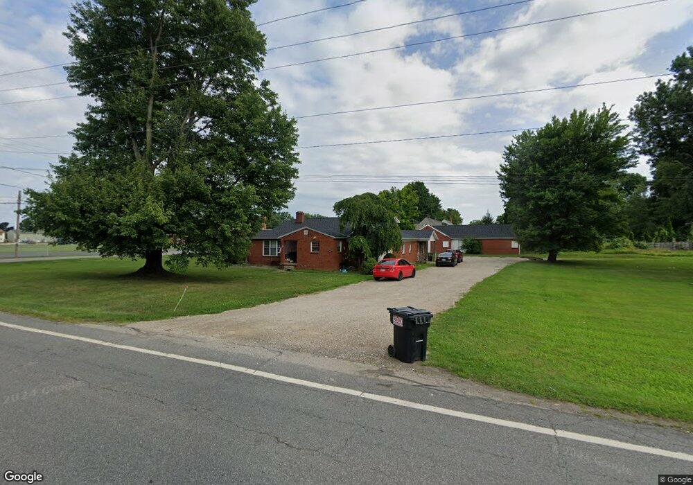
2383 State Route 430 Mansfield, OH 44903
Estimated Value: $213,000 - $270,000
4
Beds
6
Baths
2,992
Sq Ft
$79/Sq Ft
Est. Value
About This Home
This home is located at 2383 State Route 430, Mansfield, OH 44903 and is currently estimated at $235,266, approximately $78 per square foot. 2383 State Route 430 is a home located in Richland County with nearby schools including Madison High School, St. Mary Catholic School, and Temple-Christian School.
Ownership History
Date
Name
Owned For
Owner Type
Purchase Details
Closed on
Dec 6, 2022
Sold by
Chang Tien F and Chang Yun I
Bought by
Time To Move Home Llc
Current Estimated Value
Purchase Details
Closed on
Dec 7, 2011
Sold by
Weber Paul L and Weber Elaine L
Bought by
Weber Paul L and Weber Elaine L
Purchase Details
Closed on
Dec 4, 2007
Sold by
Weber Paul L and Miller Paul
Bought by
Weber Paul L and Weber Elaine L
Purchase Details
Closed on
Dec 1, 1985
Create a Home Valuation Report for This Property
The Home Valuation Report is an in-depth analysis detailing your home's value as well as a comparison with similar homes in the area
Home Values in the Area
Average Home Value in this Area
Purchase History
| Date | Buyer | Sale Price | Title Company |
|---|---|---|---|
| Time To Move Home Llc | $280,000 | -- | |
| Weber Paul L | -- | Attorney | |
| Weber Paul L | $64,000 | None Available | |
| -- | $100,000 | -- |
Source: Public Records
Tax History Compared to Growth
Tax History
| Year | Tax Paid | Tax Assessment Tax Assessment Total Assessment is a certain percentage of the fair market value that is determined by local assessors to be the total taxable value of land and additions on the property. | Land | Improvement |
|---|---|---|---|---|
| 2024 | $3,368 | $65,310 | $10,510 | $54,800 |
| 2023 | $3,368 | $65,310 | $10,510 | $54,800 |
| 2022 | $1,236 | $13,280 | $7,080 | $6,200 |
| 2021 | $1,233 | $13,280 | $7,080 | $6,200 |
| 2020 | $1,238 | $13,280 | $7,080 | $6,200 |
| 2019 | $1,218 | $13,280 | $7,080 | $6,200 |
| 2018 | $1,221 | $13,280 | $7,080 | $6,200 |
| 2017 | $1,204 | $13,280 | $7,080 | $6,200 |
| 2016 | $1,155 | $12,920 | $7,080 | $5,840 |
| 2015 | $1,155 | $12,920 | $7,080 | $5,840 |
| 2014 | $1,141 | $12,920 | $7,080 | $5,840 |
| 2012 | $1,000 | $12,920 | $7,080 | $5,840 |
Source: Public Records
Map
Nearby Homes
- 598 Impala Dr
- 630 Impala Dr
- 0 Satinwood Dr
- 2641 State Route 430
- 0 McBride Road Parcel # 1 Unit 9066028
- 609 Mcbride Rd
- 2750 Lutz Ave
- 640 Running Brook Way
- 2495 Emma Ln
- 0 Peterson Rd
- 2270 Lakecrest Dr Unit 2272
- 641 Laver Rd
- 775 Touby Ln
- 76 Ford Rd N
- 76 Ford Rd N Unit 20
- 0 Mcelroy Rd
- 1910 Crider Rd
- 304 Esley Ln
- 1997 Hout Rd
- 1495 Timber Rd
- 460 Reed Rd
- 466 Reed Rd
- 466 Reed Rd
- 2409 State Route 430
- 2394 State Route 430
- 2370 State Route 430
- 419 Pinewood Cir
- 400 Pinewood Cir
- 421 Reed Rd
- 2350 State Route 430
- 429 Pinewood Cir
- 410 Pinewood Cir
- 2334 State Route 430
- 460 Pinewood Cir
- 439 Pinewood Cir
- 420 Pinewood Cir
- 422 Reed Rd
- 0 Park Dr
- 510 Inwood Dr
- 0 Pinewood Cir