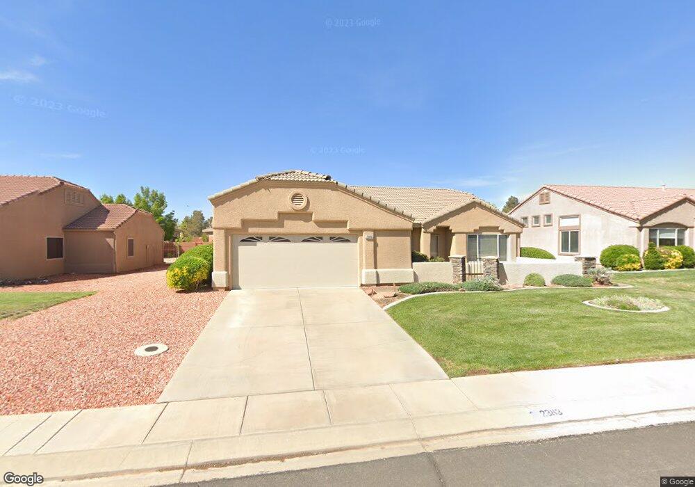
2383 W 1050 N Hurricane, UT 84737
Estimated Value: $538,000 - $642,000
3
Beds
3
Baths
2,216
Sq Ft
$272/Sq Ft
Est. Value
About This Home
This home is located at 2383 W 1050 N, Hurricane, UT 84737 and is currently estimated at $602,264, approximately $271 per square foot. 2383 W 1050 N is a home located in Washington County with nearby schools including Hurricane Middle School, Hurricane Elementary School, and Hurricane High School.
Ownership History
Date
Name
Owned For
Owner Type
Purchase Details
Closed on
Sep 9, 2019
Sold by
Ziegler Ron and The Uta F Lewandowski Living T
Bought by
Herndon Linda and Herndon Donald
Current Estimated Value
Home Financials for this Owner
Home Financials are based on the most recent Mortgage that was taken out on this home.
Original Mortgage
$242,165
Interest Rate
3.5%
Mortgage Type
FHA
Purchase Details
Closed on
Feb 6, 2019
Sold by
Lewandowski Uta
Bought by
Lewandowski Uta F and The Uta F Lewandowski Living T
Purchase Details
Closed on
Mar 4, 2013
Sold by
Newman Gary J and Newman Cindi L
Bought by
Lewandowski John and Lewandowski Uta
Create a Home Valuation Report for This Property
The Home Valuation Report is an in-depth analysis detailing your home's value as well as a comparison with similar homes in the area
Home Values in the Area
Average Home Value in this Area
Purchase History
| Date | Buyer | Sale Price | Title Company |
|---|---|---|---|
| Herndon Linda | -- | Rampart Title Insurance Agcy | |
| Lewandowski Uta F | -- | None Available | |
| Lewandowski John | -- | Southern Utah Title |
Source: Public Records
Mortgage History
| Date | Status | Borrower | Loan Amount |
|---|---|---|---|
| Previous Owner | Herndon Linda | $242,165 |
Source: Public Records
Tax History Compared to Growth
Tax History
| Year | Tax Paid | Tax Assessment Tax Assessment Total Assessment is a certain percentage of the fair market value that is determined by local assessors to be the total taxable value of land and additions on the property. | Land | Improvement |
|---|---|---|---|---|
| 2025 | $2,032 | $268,070 | $52,250 | $215,820 |
| 2023 | $1,966 | $263,725 | $41,250 | $222,475 |
| 2022 | $2,208 | $277,750 | $41,250 | $236,500 |
| 2021 | $1,746 | $324,500 | $55,000 | $269,500 |
| 2020 | $1,615 | $280,600 | $50,000 | $230,600 |
| 2019 | $1,500 | $252,700 | $50,000 | $202,700 |
| 2018 | $1,450 | $125,675 | $0 | $0 |
| 2017 | $1,478 | $123,200 | $0 | $0 |
| 2016 | $2,533 | $204,600 | $0 | $0 |
| 2015 | $2,576 | $200,400 | $0 | $0 |
| 2014 | $2,307 | $186,700 | $0 | $0 |
Source: Public Records
Map
Nearby Homes
- 2364 W 1050 N
- 2354 1050 N
- 2287 W 1050 N
- 839 N 2500 W
- 2406 W 750 N
- 0 Unit 25-265624
- 0 the Back Nine at Sky Mountain Unit 25-264908
- 519 N 2480 W
- 501 N 2480 W
- Sierra Nevada Plan at Eagle Pointe At The Front Nine
- Kilauea Plan at Eagle Pointe At The Front Nine
- Olympic 2 Plan at Eagle Pointe At The Front Nine
- Kenai Plan at Eagle Pointe At The Front Nine
- Mauna Loa 2 Plan at Eagle Pointe At The Front Nine
- Kilauea 2 Plan at Eagle Pointe At The Front Nine
- Pine Valley Plan at Eagle Pointe At The Front Nine
- Timpanogos Plan at Eagle Pointe At The Front Nine
- Uinta Plan at Eagle Pointe At The Front Nine
- Mt. Columbus Plan at Eagle Pointe At The Front Nine
- 2684 W 625 N
- 2389 W 1050 N
- 1050 1050 N
- 2379 W 1050 N
- 2379 W 1050 N Unit 118
- 970 N 2460 W
- 2393 W 1050 N Unit 121
- 2393 W 1050 N
- 2343 W 1050 N
- 2373 W 1050 N
- 2373 W 1050 N Unit 117
- 2444 W 920 N
- 2444 W 920 N Unit 193
- 2382 W 1050 N
- 2390 W 1050 N
- 2376 W 1050 N
- 2416 W 920 N
- 2456 W 920 N
- 2369 W 1050 N
- 2369 W 1050 N Unit 116
- 2465 W 906 N