Estimated Value: $698,405 - $791,000
4
Beds
3
Baths
3,205
Sq Ft
$232/Sq Ft
Est. Value
About This Home
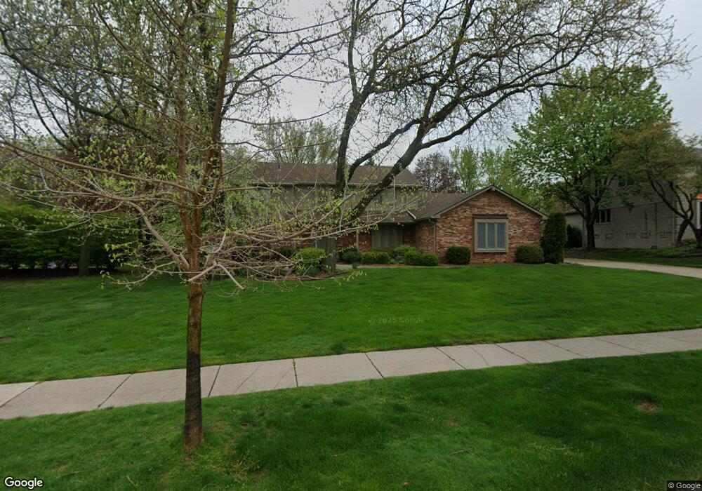
This home is located at 2384 Red Maple Dr, Troy, MI 48098 and is currently estimated at $744,101, approximately $232 per square foot. 2384 Red Maple Dr is a home located in Oakland County with nearby schools including Hamilton Elementary School, Smith Middle School, and Troy High School.
Ownership History
Date
Name
Owned For
Owner Type
Purchase Details
Closed on
Jun 23, 2021
Sold by
Freeman Max A and Freeman Michelle
Bought by
Freeman Max A and Agmt Michelle
Current Estimated Value
Home Financials for this Owner
Home Financials are based on the most recent Mortgage that was taken out on this home.
Original Mortgage
$435,000
Interest Rate
2.9%
Mortgage Type
New Conventional
Purchase Details
Closed on
Sep 27, 2019
Sold by
Freeman Max A and Freeman Michelle E
Bought by
Freeman Max A and Freeman Agmt E A
Home Financials for this Owner
Home Financials are based on the most recent Mortgage that was taken out on this home.
Original Mortgage
$440,000
Interest Rate
3.5%
Mortgage Type
New Conventional
Purchase Details
Closed on
Feb 2, 2018
Sold by
Freeman Max A and Freeman Michelle E
Bought by
Freeman Max A and Freeman Michelle E
Create a Home Valuation Report for This Property
The Home Valuation Report is an in-depth analysis detailing your home's value as well as a comparison with similar homes in the area
Home Values in the Area
Average Home Value in this Area
Purchase History
| Date | Buyer | Sale Price | Title Company |
|---|---|---|---|
| Freeman Max A | -- | None Available | |
| Freeman Max A | -- | Greater Macomb Title Agency | |
| Freeman Max A | -- | None Available | |
| Freeman Max A | -- | None Available | |
| Freeman Max A | -- | None Available |
Source: Public Records
Mortgage History
| Date | Status | Borrower | Loan Amount |
|---|---|---|---|
| Closed | Freeman Max A | $435,000 | |
| Closed | Freeman Max A | $440,000 |
Source: Public Records
Tax History
| Year | Tax Paid | Tax Assessment Tax Assessment Total Assessment is a certain percentage of the fair market value that is determined by local assessors to be the total taxable value of land and additions on the property. | Land | Improvement |
|---|---|---|---|---|
| 2022 | $6,045 | $266,000 | $0 | $0 |
| 2015 | $6,341 | $205,120 | $0 | $0 |
| 2014 | -- | $185,310 | $0 | $0 |
| 2011 | -- | $185,560 | $0 | $0 |
Source: Public Records
Map
Nearby Homes
- 2291 Red Maple Dr
- 2711 Limerick Ln
- 6284 Malvern Dr
- 1671 Apple Dr
- 1651 Redbud Dr
- 1871 Fleetwood Dr
- 1615 Redbud Dr
- 1759 Poplar Ct
- 3052 Claret Ln
- 1618 Fleetwood Dr
- 6965 N Adams Rd
- 1193 Timberview Trail
- 1289 Greenglen Ct
- 1285 Greenglen Ct
- 5766 Northfield Pkwy Unit 574
- 1243 Woodcrest Cir
- 1135 Ivyglen Cir
- 1105 Ivyglen Cir
- 5717 Whitfield Dr
- 2530 South Blvd W
- 2366 Red Maple Dr
- 2398 Red Maple Ct
- 2348 Red Maple Dr
- 2406 Red Maple Ct
- 6383 Glyndebourne Dr
- 2391 Red Maple Dr
- 2371 Red Maple Dr
- 2349 Red Maple Dr
- 6399 Glyndebourne Dr
- 2438 Red Maple Dr
- 2414 Red Maple Ct
- 2439 Red Maple Dr
- 2312 Red Maple Dr
- 6441 Red Oak Dr
- 2430 Red Maple Ct
- 6467 Red Oak Dr Unit Bldg-Unit
- 6467 Red Oak Dr
- 6323 Glyndebourne Dr
- 6384 Glyndebourne Dr
- 6473 Red Oak Dr
Your Personal Tour Guide
Ask me questions while you tour the home.