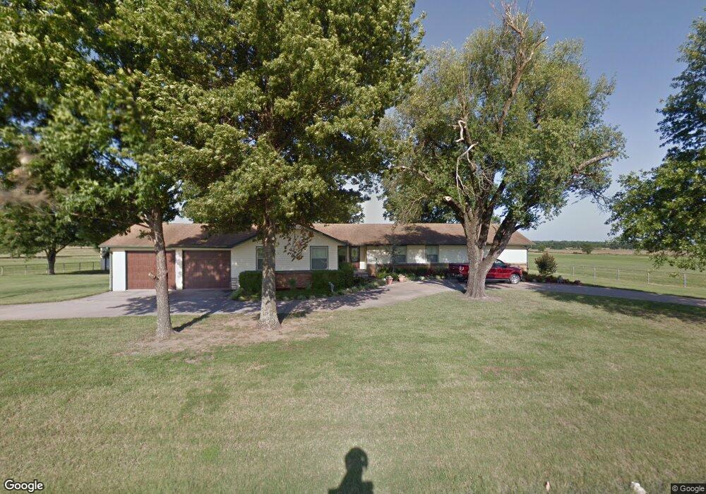
23846 S 490 Rd Tahlequah, OK 74464
Estimated Value: $264,390 - $479,000
3
Beds
3
Baths
2,698
Sq Ft
$139/Sq Ft
Est. Value
About This Home
This home is located at 23846 S 490 Rd, Tahlequah, OK 74464 and is currently estimated at $376,098, approximately $139 per square foot. 23846 S 490 Rd is a home located in Cherokee County with nearby schools including Heritage Elementary School, Tahlequah Middle School, and Tahlequah High School.
Ownership History
Date
Name
Owned For
Owner Type
Purchase Details
Closed on
Mar 16, 2021
Sold by
Watts Timothy R and Watts Roberta Ann
Bought by
Watts Timothy R and Watts Roberta A
Current Estimated Value
Home Financials for this Owner
Home Financials are based on the most recent Mortgage that was taken out on this home.
Original Mortgage
$275,000
Interest Rate
2.7%
Mortgage Type
New Conventional
Create a Home Valuation Report for This Property
The Home Valuation Report is an in-depth analysis detailing your home's value as well as a comparison with similar homes in the area
Home Values in the Area
Average Home Value in this Area
Purchase History
| Date | Buyer | Sale Price | Title Company |
|---|---|---|---|
| Watts Timothy R | -- | None Available |
Source: Public Records
Mortgage History
| Date | Status | Borrower | Loan Amount |
|---|---|---|---|
| Closed | Watts Timothy R | $275,000 |
Source: Public Records
Tax History Compared to Growth
Tax History
| Year | Tax Paid | Tax Assessment Tax Assessment Total Assessment is a certain percentage of the fair market value that is determined by local assessors to be the total taxable value of land and additions on the property. | Land | Improvement |
|---|---|---|---|---|
| 2025 | $1,552 | $17,904 | $490 | $17,414 |
| 2024 | $1,552 | $17,383 | $476 | $16,907 |
| 2023 | $1,552 | $16,877 | $463 | $16,414 |
| 2022 | $1,427 | $16,385 | $449 | $15,936 |
| 2021 | $1,388 | $15,908 | $436 | $15,472 |
| 2020 | $1,369 | $15,445 | $424 | $15,021 |
| 2019 | $1,315 | $14,995 | $403 | $14,592 |
| 2018 | $1,289 | $14,558 | $391 | $14,167 |
| 2017 | $1,246 | $14,135 | $380 | $13,755 |
| 2016 | $1,215 | $13,723 | $150 | $13,573 |
| 2015 | $1,124 | $13,324 | $550 | $12,774 |
| 2014 | $1,124 | $12,936 | $550 | $12,386 |
Source: Public Records
Map
Nearby Homes
- 2 S 490 Rd
- 0 S 490 Rd
- 16289 W 810 Rd
- 22781 S 490 Rd
- 16920 W 828 Rd
- 16981 W 828 Rd
- 14650 W 835 Rd
- 21887 Coffee Hollow Rd
- 0 S 510 Rd
- 0 W 810 Rd Unit 2506686
- 17039 W Maggie Rd
- 17611 W Stone Chapel Rd
- 15451 W 791 Rd
- 21098 S 495 Rd
- 13670 W 834 Rd
- 21060 S 496 Rd
- 19816 S 503 Rd
- 19880 S 503 Rd
- 21149 S Highway View Dr
- 16809 W 790 Rd
- 23625 S 490 Rd
- 23607 S 490 Rd
- 23519 S 490 Rd
- 0 W 820 Rd Unit 2333222
- 0 W 820 Rd Unit 2333227
- 0 W 820 Rd Unit 2333230
- 0 W 820 Rd
- 16461 W 815 Rd
- 16166 W 815 Rd
- 16166 W 815 Rd
- 23410 S 490 Rd
- 16278 W 815 Rd
- 24287 S 490 Rd
- 16491 W 820 Rd
- 23336 S 490 Rd
- 24408 S 490 Rd
- 15959 W 813 Rd
- 15926 W 813 Rd
- 16737 W 820 Rd
- 15910 W 813 Rd