2385 Cedar St Dighton, MA 02715
Estimated Value: $432,481 - $594,000
3
Beds
1
Bath
987
Sq Ft
$495/Sq Ft
Est. Value
About This Home
This home is located at 2385 Cedar St, Dighton, MA 02715 and is currently estimated at $488,870, approximately $495 per square foot. 2385 Cedar St is a home located in Bristol County with nearby schools including Dighton-Rehoboth Regional High School.
Ownership History
Date
Name
Owned For
Owner Type
Purchase Details
Closed on
Jul 29, 2021
Sold by
Thibeault Wayne R and Thibeault Mona A
Bought by
Fat Cat T
Current Estimated Value
Purchase Details
Closed on
Jun 13, 1983
Bought by
Thibeault Wayne R and Thibeault Mona A
Create a Home Valuation Report for This Property
The Home Valuation Report is an in-depth analysis detailing your home's value as well as a comparison with similar homes in the area
Home Values in the Area
Average Home Value in this Area
Purchase History
| Date | Buyer | Sale Price | Title Company |
|---|---|---|---|
| Fat Cat T | -- | None Available | |
| Thibeault Wayne R | $49,000 | -- |
Source: Public Records
Mortgage History
| Date | Status | Borrower | Loan Amount |
|---|---|---|---|
| Previous Owner | Thibeault Wayne R | $50,000 | |
| Previous Owner | Thibeault Wayne R | $30,000 | |
| Previous Owner | Thibeault Wayne R | $12,000 |
Source: Public Records
Tax History
| Year | Tax Paid | Tax Assessment Tax Assessment Total Assessment is a certain percentage of the fair market value that is determined by local assessors to be the total taxable value of land and additions on the property. | Land | Improvement |
|---|---|---|---|---|
| 2025 | $4,194 | $333,900 | $114,000 | $219,900 |
| 2024 | $4,152 | $303,500 | $111,300 | $192,200 |
| 2023 | $4,004 | $287,200 | $111,300 | $175,900 |
| 2022 | $3,858 | $270,000 | $108,600 | $161,400 |
| 2021 | $3,657 | $246,600 | $98,500 | $148,100 |
| 2020 | $3,589 | $239,600 | $109,600 | $130,000 |
| 2019 | $3,488 | $232,700 | $109,600 | $123,100 |
| 2018 | $3,164 | $212,800 | $93,600 | $119,200 |
| 2017 | $3,090 | $206,800 | $108,200 | $98,600 |
| 2016 | $3,101 | $203,600 | $111,300 | $92,300 |
| 2015 | $3,058 | $206,600 | $114,500 | $92,100 |
| 2014 | $3,066 | $201,300 | $114,500 | $86,800 |
Source: Public Records
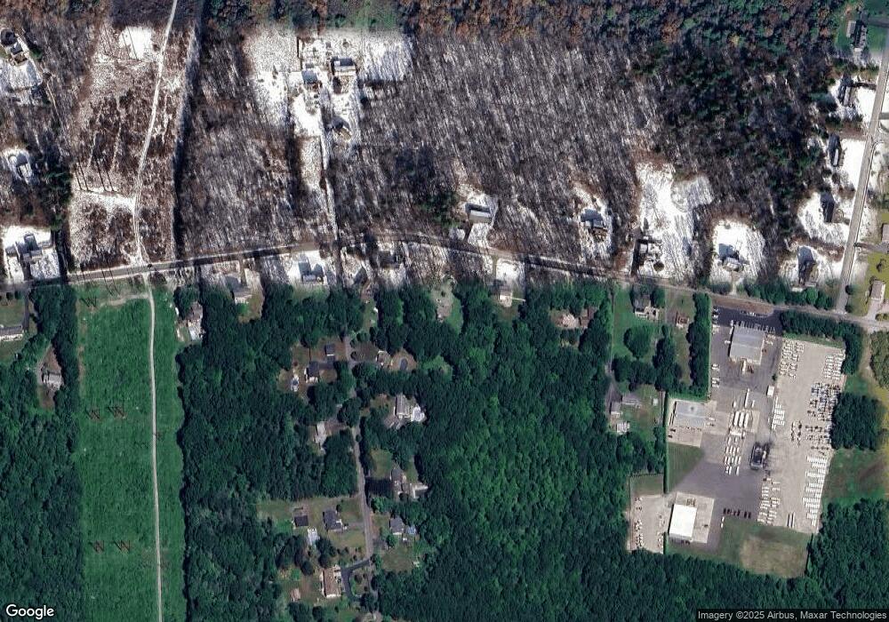
Map
Nearby Homes
- 19 Cedar St Unit 21
- 2188 Cedar St
- 2625 Lewis St
- 2713 Horton St
- 2206 Williams St
- 46 Mikayla Ann Dr
- 2681 Courtlyn Rd
- 0 Wellington St
- 0 Horton St Unit 73333337
- 185 Moulton St
- 74R Club House Dr Unit 74R
- 73H Club House Dr Unit Lot 73H
- 35 Clubhouse Dr Unit RR35
- RR36 Club House Dr Unit Lot RR36
- RR33 Club House Dr Unit Lot RR33
- RR38 Club House Unit RR38
- RR34 Club House Dr Unit RR34
- R42 Club House Dr Unit R42
- G1 Club House Dr Unit G1
- RR37 Club House Dr Unit RR37
Your Personal Tour Guide
Ask me questions while you tour the home.