2385 Road 20 8 NE Soap Lake, WA 98851
Estimated Value: $553,000 - $570,000
3
Beds
2
Baths
2,419
Sq Ft
$231/Sq Ft
Est. Value
About This Home
This home is located at 2385 Road 20 8 NE, Soap Lake, WA 98851 and is currently estimated at $558,629, approximately $230 per square foot. 2385 Road 20 8 NE is a home located in Grant County with nearby schools including Soap Lake Elementary School, Soap Lake Middle/High School, and RISE Academy.
Ownership History
Date
Name
Owned For
Owner Type
Purchase Details
Closed on
Sep 26, 2019
Sold by
Graves Joseph L and Graves Vinka R
Bought by
Buchert Dylan and Buchert Rebekah
Current Estimated Value
Home Financials for this Owner
Home Financials are based on the most recent Mortgage that was taken out on this home.
Original Mortgage
$240,000
Outstanding Balance
$210,680
Interest Rate
3.6%
Mortgage Type
New Conventional
Estimated Equity
$347,949
Purchase Details
Closed on
Jul 18, 2009
Sold by
Slough Chester F and Slough Lesley D
Bought by
Graves Joseph L and Graves Vinka R
Create a Home Valuation Report for This Property
The Home Valuation Report is an in-depth analysis detailing your home's value as well as a comparison with similar homes in the area
Home Values in the Area
Average Home Value in this Area
Purchase History
| Date | Buyer | Sale Price | Title Company |
|---|---|---|---|
| Buchert Dylan | $335,000 | Stewart Title Moses Lake | |
| Graves Joseph L | -- | None Available |
Source: Public Records
Mortgage History
| Date | Status | Borrower | Loan Amount |
|---|---|---|---|
| Open | Buchert Dylan | $240,000 |
Source: Public Records
Tax History Compared to Growth
Tax History
| Year | Tax Paid | Tax Assessment Tax Assessment Total Assessment is a certain percentage of the fair market value that is determined by local assessors to be the total taxable value of land and additions on the property. | Land | Improvement |
|---|---|---|---|---|
| 2024 | $3,643 | $385,179 | $85,825 | $299,354 |
| 2023 | $3,410 | $329,920 | $38,350 | $291,570 |
| 2022 | $3,233 | $329,920 | $38,350 | $291,570 |
| 2021 | $3,109 | $329,920 | $38,350 | $291,570 |
| 2020 | $3,092 | $305,445 | $38,350 | $267,095 |
| 2019 | $2,543 | $259,050 | $38,350 | $220,700 |
| 2018 | $3,577 | $288,525 | $50,000 | $238,525 |
| 2017 | $2,918 | $234,165 | $50,000 | $184,165 |
Source: Public Records
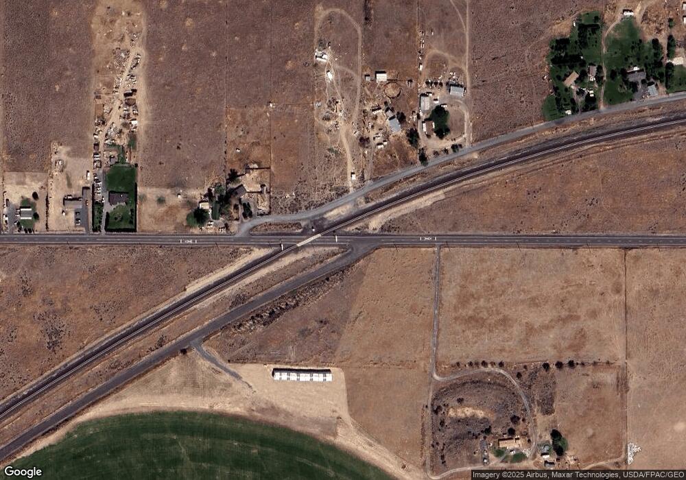
Map
Nearby Homes
- 0 Thomas Dr NE
- 0 Parcel 161930000 Unit NWM2364296
- 0 NNA Division 4 Rd NE
- 19627 Road A NE
- 2866 Road 20 NE
- 1569 Road 19 NE
- 1569 Rd 3rd Ave NE
- 215 Elder St N
- 19014 A 5
- 21190 NE Division 4 Rd
- 0 Washington 17
- 21058 State Highway 17 N
- 4286 Road 20 NE
- 453 5th Ave SE
- 242 5th Ave SE
- 1176 Washington 28
- 315 Buttercup St S
- 323 Buttercup St S
- 134 4th Ave SE
- 115 4th Ave SE
- 2386 NE 20 8 Rd
- 2388 20 8 Rd NE
- 2496 Washington 28
- 2422 Road 20.8 NE
- 2472 Road 20.8 NE
- 2496 State Highway 28 E
- 2482 Road 20.8 NE
- 2495 E Hwy 28
- 2508 Road 20.8 NE
- 2508 NE 20 8 Rd
- 2546 Road 20 8 NE
- 2546 Road 20.8 NE
- 2546 Road 20 NE
- 2495 State Highway 28 E
- 2355 Road 20.5 NW
- 2602 Road 20.8 NE
- 2471 Road 20 5 NE
- 2655 Road 20.8 NE
- 2015 State Highway 28 E
- 2015 Washington 28