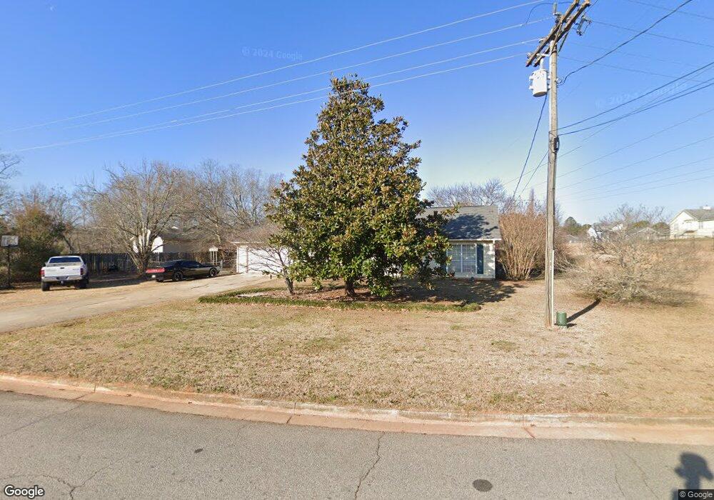
2385 Skint Chestnut Dr Lithia Springs, GA 30122
Lithia Springs NeighborhoodEstimated Value: $247,000 - $251,000
3
Beds
2
Baths
1,562
Sq Ft
$160/Sq Ft
Est. Value
About This Home
This home is located at 2385 Skint Chestnut Dr, Lithia Springs, GA 30122 and is currently estimated at $249,420, approximately $159 per square foot. 2385 Skint Chestnut Dr is a home located in Douglas County with nearby schools including Factory Shoals Elementary School, Factory Shoals Middle School, and New Manchester High School.
Ownership History
Date
Name
Owned For
Owner Type
Purchase Details
Closed on
Jun 19, 2006
Sold by
Williams Terry F and Williams Diane M
Bought by
Wheat Christopher
Current Estimated Value
Home Financials for this Owner
Home Financials are based on the most recent Mortgage that was taken out on this home.
Original Mortgage
$137,196
Outstanding Balance
$80,298
Interest Rate
6.49%
Mortgage Type
FHA
Estimated Equity
$169,122
Create a Home Valuation Report for This Property
The Home Valuation Report is an in-depth analysis detailing your home's value as well as a comparison with similar homes in the area
Home Values in the Area
Average Home Value in this Area
Purchase History
| Date | Buyer | Sale Price | Title Company |
|---|---|---|---|
| Wheat Christopher | $139,400 | -- |
Source: Public Records
Mortgage History
| Date | Status | Borrower | Loan Amount |
|---|---|---|---|
| Open | Wheat Christopher | $137,196 |
Source: Public Records
Tax History Compared to Growth
Tax History
| Year | Tax Paid | Tax Assessment Tax Assessment Total Assessment is a certain percentage of the fair market value that is determined by local assessors to be the total taxable value of land and additions on the property. | Land | Improvement |
|---|---|---|---|---|
| 2024 | $1,742 | $62,240 | $12,000 | $50,240 |
| 2023 | $1,742 | $62,240 | $12,000 | $50,240 |
| 2022 | $1,799 | $62,240 | $12,000 | $50,240 |
| 2021 | $1,650 | $54,640 | $12,960 | $41,680 |
| 2020 | $1,671 | $54,640 | $12,960 | $41,680 |
| 2019 | $1,549 | $53,120 | $12,960 | $40,160 |
| 2018 | $1,463 | $48,640 | $12,120 | $36,520 |
| 2017 | $1,360 | $44,400 | $12,120 | $32,280 |
| 2016 | $1,061 | $34,480 | $9,720 | $24,760 |
| 2015 | $1,016 | $33,680 | $9,720 | $23,960 |
| 2014 | $1,016 | $31,920 | $9,720 | $22,200 |
| 2013 | -- | $33,840 | $10,440 | $23,400 |
Source: Public Records
Map
Nearby Homes
- 8767 Northview Dr
- 2808 Lillian Ln
- 8767 N View Dr
- 2820 Maxwell Place
- 2732 Montie Ct
- 2740 Montie Ct
- 2390 Fairburn Rd Unit 237
- 2741 Montie Ct
- 2756 Montie Ct
- 3957 Fairhaven Rd
- 3964 Fairhaven Rd
- 3940 Fairhaven Rd
- 3924 Fairhaven Rd
- 3948 Fairhaven Rd
- 2562 Fairburn Rd
- 3636 Meadowview Dr
- HAYDEN Plan at Fairhaven
- GREEN Plan at Fairhaven
- CALI Plan at Fairhaven
- ELLE Plan at Fairhaven
- 8880 Old Lee Rd
- 8874 Old Lee Rd
- 2355 Skint Chestnut Dr
- 2380 Skint Chestnut Dr
- 2360 Skint Chestnut Dr
- 2883 Bottle Brush Dr
- 2987 Old Lee Rd
- 8868 Old Lee Rd
- 2891 Bottle Brush Dr
- 8881 Old Lee Rd
- 2352 Skint Chestnut Dr
- 2921 Old Lee Rd
- 8875 Old Lee Rd
- 2899 Bottle Brush Dr
- 2344 Skint Chestnut Dr
- 8865 Northview Dr
- 2333 Skint Chestnut Dr
- 8862 Old Lee Rd
- 8862 Old Lee Rd Unit B
- 2907 Bottle Brush Dr