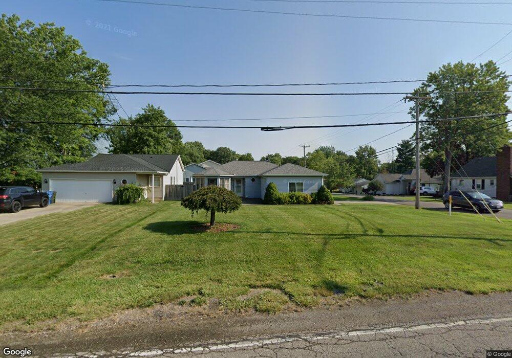
23876 Redfern Rd Columbia Station, OH 44028
Estimated Value: $223,000 - $259,000
2
Beds
2
Baths
1,325
Sq Ft
$182/Sq Ft
Est. Value
About This Home
This home is located at 23876 Redfern Rd, Columbia Station, OH 44028 and is currently estimated at $240,813, approximately $181 per square foot. 23876 Redfern Rd is a home located in Lorain County with nearby schools including Copopa Elementary School, Columbia Middle School, and Columbia High School.
Ownership History
Date
Name
Owned For
Owner Type
Purchase Details
Closed on
Sep 2, 1998
Sold by
Boozer Lillian
Bought by
Votaw Rita M
Current Estimated Value
Home Financials for this Owner
Home Financials are based on the most recent Mortgage that was taken out on this home.
Original Mortgage
$122,850
Outstanding Balance
$26,561
Interest Rate
7.04%
Estimated Equity
$214,252
Create a Home Valuation Report for This Property
The Home Valuation Report is an in-depth analysis detailing your home's value as well as a comparison with similar homes in the area
Home Values in the Area
Average Home Value in this Area
Purchase History
| Date | Buyer | Sale Price | Title Company |
|---|---|---|---|
| Votaw Rita M | $136,500 | -- |
Source: Public Records
Mortgage History
| Date | Status | Borrower | Loan Amount |
|---|---|---|---|
| Open | Votaw Rita M | $122,850 |
Source: Public Records
Tax History Compared to Growth
Tax History
| Year | Tax Paid | Tax Assessment Tax Assessment Total Assessment is a certain percentage of the fair market value that is determined by local assessors to be the total taxable value of land and additions on the property. | Land | Improvement |
|---|---|---|---|---|
| 2024 | $2,929 | $68,068 | $21,893 | $46,176 |
| 2023 | $2,953 | $59,934 | $16,916 | $43,019 |
| 2022 | $2,881 | $59,934 | $16,916 | $43,019 |
| 2021 | $2,910 | $59,934 | $16,916 | $43,019 |
| 2020 | $2,730 | $50,450 | $14,240 | $36,210 |
| 2019 | $2,714 | $50,450 | $14,240 | $36,210 |
| 2018 | $2,640 | $50,450 | $14,240 | $36,210 |
| 2017 | $2,541 | $43,440 | $9,180 | $34,260 |
| 2016 | $2,560 | $43,440 | $9,180 | $34,260 |
| 2015 | $2,598 | $43,440 | $9,180 | $34,260 |
| 2014 | $2,608 | $43,440 | $9,180 | $34,260 |
| 2013 | $2,618 | $43,440 | $9,180 | $34,260 |
Source: Public Records
Map
Nearby Homes
- Belleville Plan at The Estates of Columbia Ridge
- Ash Lawn Plan at The Estates of Columbia Ridge
- Brennan Plan at The Estates of Columbia Ridge
- Lyndhurst Plan at The Estates of Columbia Ridge
- Alden Plan at The Estates of Columbia Ridge
- Vanderburgh Plan at The Estates of Columbia Ridge
- Buchanan Plan at The Estates of Columbia Ridge
- 10700 Whitewing Way
- 10128 Valleyview Dr
- 8924 Leatherleaf Dr
- 8960 Leatherleaf Dr
- Lehigh Plan at Ashford Cove
- Anderson Plan at Ashford Cove
- Ballenger Plan at Ashford Cove
- Columbia Plan at Ashford Cove
- Hudson Plan at Ashford Cove
- 8981 Leatherleaf Dr
- V/L Aldridge Dr
- 8839 Leatherleaf Dr
- 24628 Sprague Rd
- 23896 Redfern Rd
- 10510 Greenview Dr
- 23856 Redfern Rd
- 10500 Greenview Dr
- 10521 Greenview Dr
- S/40 Bridle Path
- 10490 Greenview Dr
- 23844 Redfern Rd
- 10515 Greenview Dr
- 10600 Bridle Path
- 10480 Greenview Dr
- 23828 Redfern Rd
- 23828 Redfern Rd
- 10470 Greenview Dr
- 10605 Bridle Path
- 10481 Greenview Dr
- 10481 Greenview Dr
- 10460 Greenview Dr
- 10500 Westwood Rd
- 10465 Greenview Dr