Estimated Value: $156,000 - $188,000
2
Beds
2
Baths
1,040
Sq Ft
$166/Sq Ft
Est. Value
About This Home
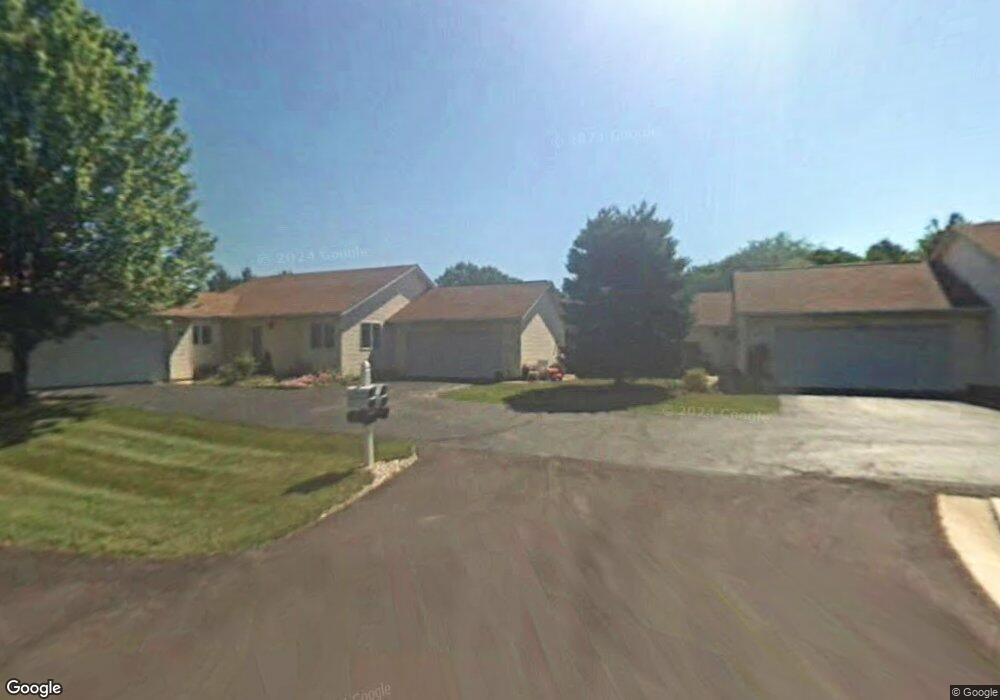
This home is located at 2389 Port Williams Dr Unit 2389, Stow, OH 44224 and is currently estimated at $173,138, approximately $166 per square foot. 2389 Port Williams Dr Unit 2389 is a home located in Summit County with nearby schools including Stow-Munroe Falls High School, Primrose School of Hudson, and Holy Family Elementary School.
Ownership History
Date
Name
Owned For
Owner Type
Purchase Details
Closed on
Dec 28, 2005
Sold by
Thomas Charles Curtis and Thomas Tina L
Bought by
Wallace Judith K
Current Estimated Value
Create a Home Valuation Report for This Property
The Home Valuation Report is an in-depth analysis detailing your home's value as well as a comparison with similar homes in the area
Home Values in the Area
Average Home Value in this Area
Purchase History
| Date | Buyer | Sale Price | Title Company |
|---|---|---|---|
| Wallace Judith K | $110,000 | Village Title |
Source: Public Records
Tax History Compared to Growth
Tax History
| Year | Tax Paid | Tax Assessment Tax Assessment Total Assessment is a certain percentage of the fair market value that is determined by local assessors to be the total taxable value of land and additions on the property. | Land | Improvement |
|---|---|---|---|---|
| 2025 | $2,068 | $45,210 | $5,037 | $40,173 |
| 2024 | $2,068 | $45,210 | $5,037 | $40,173 |
| 2023 | $2,068 | $45,210 | $5,037 | $40,173 |
| 2022 | $1,755 | $35,637 | $3,731 | $31,906 |
| 2021 | $1,575 | $35,637 | $3,731 | $31,906 |
| 2020 | $1,549 | $35,640 | $3,730 | $31,910 |
| 2019 | $1,203 | $28,040 | $3,320 | $24,720 |
| 2018 | $1,693 | $28,040 | $3,320 | $24,720 |
| 2017 | $1,954 | $28,040 | $3,320 | $24,720 |
| 2016 | $2,011 | $31,620 | $3,690 | $27,930 |
| 2015 | $1,954 | $31,620 | $3,690 | $27,930 |
| 2014 | $1,956 | $31,620 | $3,690 | $27,930 |
| 2013 | $1,948 | $31,690 | $3,690 | $28,000 |
Source: Public Records
Map
Nearby Homes
- 2380 Port Williams Dr Unit 2380
- 2444 Port Charles Dr
- 0 Stow Rd Unit 5102979
- 4731 Haughton Ct
- 2327 Crockett Cir
- 4903 Fishcreek Rd Unit 11B
- 2418 Wrens Dr S Unit G
- 4944 Friar Rd Unit D
- 4901 Independence Cir Unit B
- 4917 Independence Cir Unit B
- 4621 Graford Ln
- 2140 Woodlawn Cir Unit 2144
- 4901 Pebblehurst Dr
- 4630 Red Willow Rd
- 1627 Cypress Ct
- 1937 Leisure Ln
- 1808 Higby Dr Unit A
- 5217 Beckett Ridge
- 4120 Klein Ave
- 1884 Village Ct Unit X66
- 2391 Port Williams Dr
- 2387 Port Williams Dr
- 2385 Port Williams Dr Unit 2385
- 2381 Port Williams Dr
- 2379 Port Williams Dr Unit 2379
- 2377 Port Williams Dr Unit 2377
- 2378 Port Williams Dr Unit 2378
- 2376 Port Williams Dr
- 2374 Port Williams Dr
- 2390 Port Williams Dr
- 2388 Port Williams Dr Unit 2388
- 2386 Port Williams Dr
- 2384 Port Williams Dr
- 2435 Port Charles Dr
- 2441 Port Charles Dr
- 2394 Call Rd Unit B
- 2436 Port Charles Dr
- 2445 Port Charles Dr Unit 2445
- 2361 Kalyn Place Unit 2361
- 2365 Kalyn Place Unit 2365