239 Ayer Rd Unit 97 Littleton, MA 01460
Estimated Value: $572,000 - $6,568,000
2
Beds
2
Baths
1,344
Sq Ft
$3,191/Sq Ft
Est. Value
About This Home
This home is located at 239 Ayer Rd Unit 97, Littleton, MA 01460 and is currently estimated at $4,288,283, approximately $3,190 per square foot. 239 Ayer Rd Unit 97 is a home located in Middlesex County with nearby schools including Shaker Lane Elementary School, Russell Street Elementary School, and Littleton Middle School.
Ownership History
Date
Name
Owned For
Owner Type
Purchase Details
Closed on
Oct 21, 2014
Sold by
Rodgers Family Holding
Bought by
Rodgers Family Holding
Current Estimated Value
Purchase Details
Closed on
Dec 30, 1993
Sold by
Littleton Motor Ct Inc
Bought by
Rogers Family Hldgs
Home Financials for this Owner
Home Financials are based on the most recent Mortgage that was taken out on this home.
Original Mortgage
$876,000
Interest Rate
7%
Mortgage Type
Commercial
Create a Home Valuation Report for This Property
The Home Valuation Report is an in-depth analysis detailing your home's value as well as a comparison with similar homes in the area
Home Values in the Area
Average Home Value in this Area
Purchase History
| Date | Buyer | Sale Price | Title Company |
|---|---|---|---|
| Rodgers Family Holding | -- | -- | |
| Rodgers Family Holding | -- | -- | |
| Rodgers Family Holding | -- | -- | |
| Rogers Family Hldgs | $1,370,000 | -- |
Source: Public Records
Mortgage History
| Date | Status | Borrower | Loan Amount |
|---|---|---|---|
| Previous Owner | Rogers Family Hldgs | $325,000 | |
| Previous Owner | Rogers Family Hldgs | $876,000 | |
| Previous Owner | Rogers Family Hldgs | $330,000 | |
| Closed | Rogers Family Hldgs | $325,000 |
Source: Public Records
Tax History Compared to Growth
Tax History
| Year | Tax Paid | Tax Assessment Tax Assessment Total Assessment is a certain percentage of the fair market value that is determined by local assessors to be the total taxable value of land and additions on the property. | Land | Improvement |
|---|---|---|---|---|
| 2025 | $686 | $4,615,600 | $3,896,800 | $718,800 |
| 2024 | $66,483 | $4,480,000 | $3,766,100 | $713,900 |
| 2023 | $65,553 | $4,034,000 | $3,374,300 | $659,700 |
| 2022 | $68,107 | $3,845,700 | $3,243,700 | $602,000 |
| 2021 | $66,002 | $3,728,900 | $3,145,700 | $583,200 |
| 2020 | $0 | $3,555,200 | $2,982,300 | $572,900 |
| 2019 | $0 | $3,146,500 | $2,578,300 | $568,200 |
| 2018 | $0 | $3,139,400 | $2,578,300 | $561,100 |
| 2017 | $0 | $3,010,800 | $2,447,600 | $563,200 |
| 2016 | -- | $3,003,200 | $2,447,600 | $555,600 |
| 2015 | -- | $2,658,800 | $2,120,900 | $537,900 |
Source: Public Records
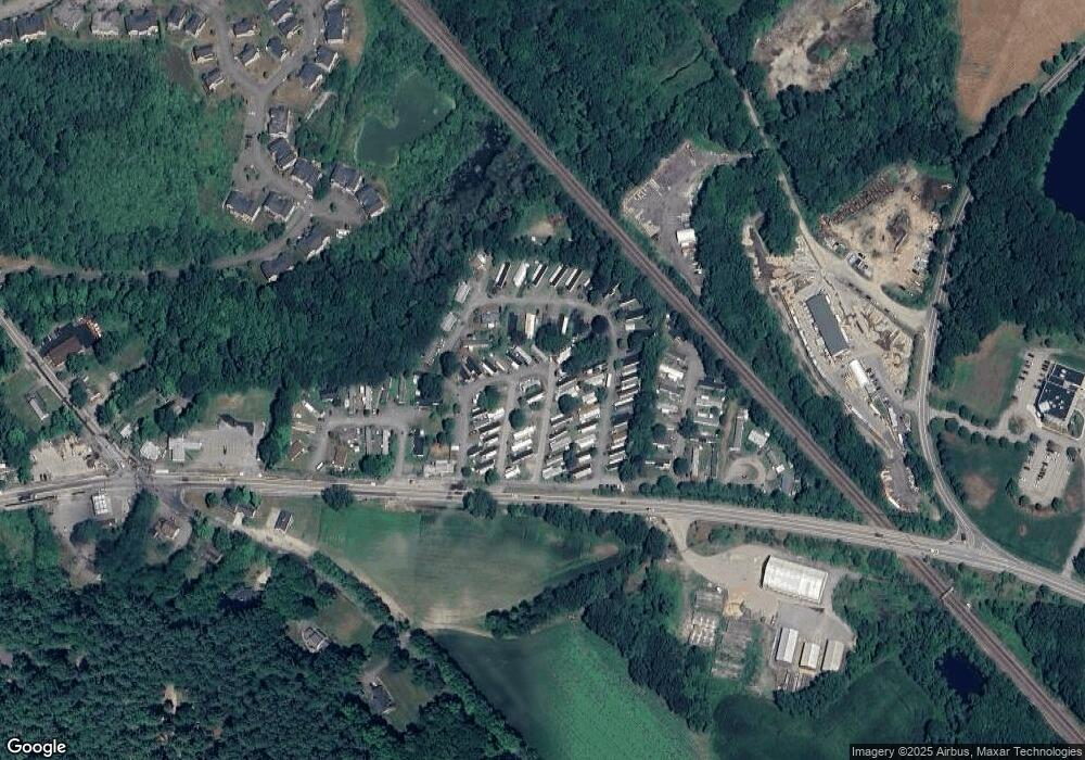
Map
Nearby Homes
- 239 Ayer Rd Unit 16
- 239 Ayer Rd Unit 46
- 4 Spectacle Pond Rd
- 0 Ayer Rd
- 23 Hemlock Dr
- 17 Chestnut Ln
- 8 Mulberry Cir
- 82 Littleton Rd
- 36 Whitetail Way
- 75 Sandy Pond Rd Unit 44
- 75 Sandy Pond Rd Unit 7
- 9 (Lt 44) Darrell Dr
- 3 Taylor St
- 11 (Lt 45) Darrell Dr
- 55 Littleton Rd Unit 15A
- 14 Grosvenor St
- 150 Whitcomb Ave
- 26 Bayberry Rd
- 38 Pine Ridge Dr
- 95 Hummingbird Ln Unit 22
- 239 Ayer Rd Unit L-45
- 239 Ayer Rd Unit 25
- 239 Ayer Rd Unit Lot 79
- 239 Ayer Rd Unit L-56
- 239 Ayer Rd Unit L23
- 239 Ayer Rd Unit Lot 47
- 239 Ayer Rd Unit 61
- 239 Ayer Rd Unit L-64
- 239 Ayer Rd Unit L9
- 239 Ayer Rd Unit 1
- 239 Ayer Rd Unit 17
- 239 Ayer Rd Unit 16
- 239 Ayer Rd Unit L-41
- 239 Ayer Rd Unit 86
- 239 Ayer Rd Unit 67
- 239 Ayer Rd Unit 89
- 239 Ayer Rd Unit 71
- 239 Ayer Rd Unit 100
- 239 Ayer Rd Unit 30
- 239 Ayer Rd Unit 54