239 Buck Run Ln Canton, PA 17724
Estimated Value: $201,000 - $479,603
3
Beds
6
Baths
--
Sq Ft
21.67
Acres
About This Home
This home is located at 239 Buck Run Ln, Canton, PA 17724 and is currently estimated at $314,534. 239 Buck Run Ln is a home located in Bradford County with nearby schools including Canton Area Elementary School and Canton Junior/Senior High School.
Ownership History
Date
Name
Owned For
Owner Type
Purchase Details
Closed on
Jun 11, 2020
Sold by
Ward David L and Ward Joy M
Bought by
Ward Trenten Quay and Ward Brianna
Current Estimated Value
Purchase Details
Closed on
Jul 27, 2007
Sold by
Grue James E
Bought by
Ward David L and Ward Joy M
Home Financials for this Owner
Home Financials are based on the most recent Mortgage that was taken out on this home.
Original Mortgage
$65,000
Interest Rate
6.72%
Mortgage Type
Purchase Money Mortgage
Create a Home Valuation Report for This Property
The Home Valuation Report is an in-depth analysis detailing your home's value as well as a comparison with similar homes in the area
Home Values in the Area
Average Home Value in this Area
Purchase History
| Date | Buyer | Sale Price | Title Company |
|---|---|---|---|
| Ward Trenten Quay | -- | Twin Tier Abstract | |
| Ward David L | $175,000 | None Available |
Source: Public Records
Mortgage History
| Date | Status | Borrower | Loan Amount |
|---|---|---|---|
| Closed | Ward David L | $65,000 |
Source: Public Records
Tax History Compared to Growth
Tax History
| Year | Tax Paid | Tax Assessment Tax Assessment Total Assessment is a certain percentage of the fair market value that is determined by local assessors to be the total taxable value of land and additions on the property. | Land | Improvement |
|---|---|---|---|---|
| 2025 | $4,503 | $81,150 | $0 | $0 |
| 2024 | $4,327 | $81,150 | $0 | $0 |
| 2023 | $4,327 | $81,150 | $0 | $0 |
| 2022 | $4,279 | $81,150 | $0 | $0 |
| 2021 | $4,280 | $81,150 | $0 | $0 |
| 2020 | $4,232 | $81,150 | $0 | $0 |
| 2019 | $4,228 | $81,150 | $0 | $0 |
| 2018 | $4,021 | $80,650 | $0 | $0 |
| 2017 | $3,967 | $80,650 | $0 | $0 |
| 2016 | -- | $80,650 | $0 | $0 |
| 2015 | -- | $80,650 | $0 | $0 |
| 2014 | $2,313 | $80,650 | $0 | $0 |
Source: Public Records
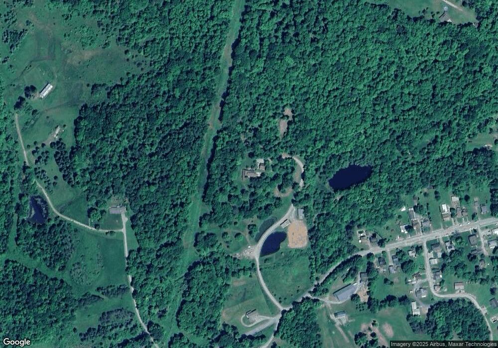
Map
Nearby Homes
- 55 Clinton St
- 0 Upper Mountain Rd
- 386 Troy St
- 19 Lovell Ln
- 290 Troy St
- 127 Troy St
- 49-51 T-329
- 94 N Center St
- 85 N Minnequa Ave
- Upper Mountain Rd Lot Unit WP001
- 108 S Washington St
- 374 S Minnequa Ave
- 118 E South Ave
- 63 Brann St
- 1616 W Union St
- 1616 W Union Rd
- 417 Furman Rd
- 7129 Route 14
- 14751 Route 14
- 1909 Mill Hill Rd
- 382 W Union St
- 376 W Union St
- 512 W Union St
- 93 W Union St
- 387 W Union St
- 97 W Union St
- 375 W Union St
- 336 W Union St
- 357 W Union St
- 326 W Union St
- 320 W Union St
- 507 W Union St
- 335 W Union St
- 304 W Union St
- 44 Clinton St
- 290 W Union St Unit 292
- 13 Clinton St
- 309 W Union St
- 613 W Union St
- 276 W Union St