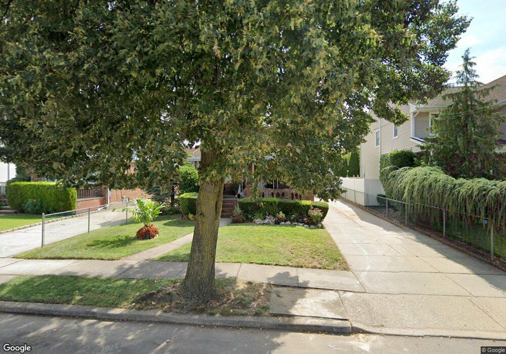
239 Commonwealth St Franklin Square, NY 11010
Estimated Value: $627,698 - $946,000
Studio
1
Bath
750
Sq Ft
$1,049/Sq Ft
Est. Value
About This Home
This home is located at 239 Commonwealth St, Franklin Square, NY 11010 and is currently estimated at $786,849, approximately $1,049 per square foot. 239 Commonwealth St is a home located in Nassau County.
Ownership History
Date
Name
Owned For
Owner Type
Purchase Details
Closed on
Sep 9, 2025
Sold by
Guiliano Nicholas and Guiliano Lorraine
Bought by
Kinckiner Robert and Fiordimondo Maddalena
Current Estimated Value
Home Financials for this Owner
Home Financials are based on the most recent Mortgage that was taken out on this home.
Original Mortgage
$618,252
Outstanding Balance
$617,707
Interest Rate
6.63%
Mortgage Type
New Conventional
Estimated Equity
$169,142
Purchase Details
Closed on
Feb 7, 2000
Sold by
Guiliano Mary
Bought by
Guiliano Nicholas and Guiliano Charles
Create a Home Valuation Report for This Property
The Home Valuation Report is an in-depth analysis detailing your home's value as well as a comparison with similar homes in the area
Home Values in the Area
Average Home Value in this Area
Purchase History
| Date | Buyer | Sale Price | Title Company |
|---|---|---|---|
| Kinckiner Robert | $435,000 | Stewart Title Ins Company | |
| Guiliano Nicholas | -- | Stewart Title | |
| Guiliano Nicholas | -- | Stewart Title |
Source: Public Records
Mortgage History
| Date | Status | Borrower | Loan Amount |
|---|---|---|---|
| Open | Kinckiner Robert | $618,252 |
Source: Public Records
Tax History
| Year | Tax Paid | Tax Assessment Tax Assessment Total Assessment is a certain percentage of the fair market value that is determined by local assessors to be the total taxable value of land and additions on the property. | Land | Improvement |
|---|---|---|---|---|
| 2025 | $6,948 | $316 | $233 | $83 |
| 2024 | $2,742 | $325 | $239 | $86 |
Source: Public Records
Map
Nearby Homes
- 235 Commonwealth St
- 243 Commonwealth St
- 247 Commonwealth St
- 242 Rintin St
- 231 Commonwealth St
- 238 Rintin St
- 246 Rintin St
- 232 Rintin St
- 251 Commonwealth St
- 250 Rintin St
- 240 Commonwealth St
- 228 Rintin St
- 236 Commonwealth St
- 244 Commonwealth St
- 225 Commonwealth St
- 254 Rintin St
- 232 Commonwealth St
- 248 Commonwealth St
- 255 Commonwealth St
- 224 Rintin St
Your Personal Tour Guide
Ask me questions while you tour the home.