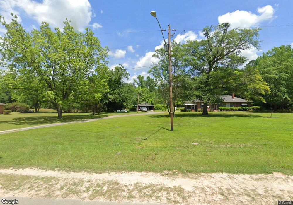
239 Irwinton Rd Toomsboro, GA 31090
Estimated Value: $63,000 - $192,000
2
Beds
2
Baths
2,063
Sq Ft
$70/Sq Ft
Est. Value
About This Home
This home is located at 239 Irwinton Rd, Toomsboro, GA 31090 and is currently estimated at $143,820, approximately $69 per square foot. 239 Irwinton Rd is a home located in Wilkinson County with nearby schools including Wilkinson County Primary School, Wilkinson County Elementary School, and Wilkinson County Middle School.
Ownership History
Date
Name
Owned For
Owner Type
Purchase Details
Closed on
Oct 21, 2005
Sold by
Lord Angie Orr
Bought by
Rountree Latonia M and Rountree Bennie
Current Estimated Value
Home Financials for this Owner
Home Financials are based on the most recent Mortgage that was taken out on this home.
Original Mortgage
$17,700
Outstanding Balance
$9,474
Interest Rate
5.76%
Mortgage Type
New Conventional
Estimated Equity
$134,346
Purchase Details
Closed on
Oct 6, 2004
Sold by
Estate Of Alma Tanner Orr
Bought by
Orr H R
Create a Home Valuation Report for This Property
The Home Valuation Report is an in-depth analysis detailing your home's value as well as a comparison with similar homes in the area
Home Values in the Area
Average Home Value in this Area
Purchase History
| Date | Buyer | Sale Price | Title Company |
|---|---|---|---|
| Rountree Latonia M | $88,500 | -- | |
| Orr H R | -- | -- |
Source: Public Records
Mortgage History
| Date | Status | Borrower | Loan Amount |
|---|---|---|---|
| Open | Rountree Latonia M | $17,700 |
Source: Public Records
Tax History Compared to Growth
Tax History
| Year | Tax Paid | Tax Assessment Tax Assessment Total Assessment is a certain percentage of the fair market value that is determined by local assessors to be the total taxable value of land and additions on the property. | Land | Improvement |
|---|---|---|---|---|
| 2024 | $1,667 | $45,424 | $2,540 | $42,884 |
| 2023 | $1,137 | $31,981 | $4,101 | $27,880 |
| 2022 | $1,121 | $31,581 | $4,101 | $27,480 |
| 2021 | $1,112 | $30,754 | $4,101 | $26,653 |
| 2020 | $1,112 | $30,754 | $4,101 | $26,653 |
| 2019 | $1,112 | $30,754 | $4,101 | $26,653 |
| 2018 | $1,108 | $30,754 | $4,101 | $26,653 |
| 2017 | $1,102 | $30,754 | $4,101 | $26,653 |
| 2016 | $1,160 | $30,754 | $4,101 | $26,653 |
| 2015 | $1,050 | $30,754 | $4,101 | $26,653 |
| 2014 | $1,050 | $30,754 | $4,101 | $26,653 |
| 2013 | $1,050 | $30,754 | $4,101 | $26,652 |
Source: Public Records
Map
Nearby Homes
- 183 Main St
- 072 017 Georgia 112
- V/L - LOT 1 & 2 Georgia 112
- 174 Main St
- 234 S Railroad St
- 0 Hwy 112 Unit LOT WP001
- 0 Hwy 112 Unit LotWP001 24020150
- 0 Hwy 112 Unit LotWP004 24020151
- 0 Hwy 112 Unit LotWP001 23024944
- 0 Hwy 112 Unit LotWP004 23024948
- 0 Hwy 112 Unit LotWP002 23024946
- 0 Hwy 112 Unit 50903
- 0 Branan Rd
- 0 Highway 112 Unit 10559418
- 0 Highway 112 Unit LOT 2 10495014
- 0 Highway 112 Unit LOT 1 10495009
- 0 Highway 112 Unit LOT 4 10495008
- 0 Highway 112 Unit 10401869
- 110 Irwinton Rd
- 00 Old Balls Ferry Rd
- 235 Irwinton Rd
- 225 Irwinton Rd
- 226 Irwinton Rd
- 222 Irwinton Rd
- 205 Main St
- 211 Irwinton Rd
- 113 Manderson St
- 219 Main St
- 207 Main St
- 203 Main St
- 211 Main St
- 201 Irwinton Rd
- 213 Main St
- 223 Main St
- 223 Main St
- 225 Main St
- V/L Georgia 112 Unit LOT WP001
- V/L Georgia 112
- 0 Main St Unit 20134318
- 0 Main St