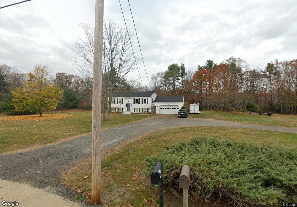
239 Maguire Rd Kennebunk, ME 04043
Estimated Value: $465,126 - $486,000
3
Beds
2
Baths
1,642
Sq Ft
$289/Sq Ft
Est. Value
About This Home
This home is located at 239 Maguire Rd, Kennebunk, ME 04043 and is currently estimated at $474,375, approximately $288 per square foot. 239 Maguire Rd is a home located in York County with nearby schools including Kennebunk High School and The New School.
Ownership History
Date
Name
Owned For
Owner Type
Purchase Details
Closed on
Jan 25, 2013
Sold by
Briggs Frank A and Briggs Thelma J
Bought by
Briggs Frank A
Current Estimated Value
Home Financials for this Owner
Home Financials are based on the most recent Mortgage that was taken out on this home.
Original Mortgage
$153,000
Outstanding Balance
$106,658
Interest Rate
3.35%
Mortgage Type
Purchase Money Mortgage
Estimated Equity
$367,717
Purchase Details
Closed on
Dec 2, 2005
Sold by
Dedrick Sandra L Est
Bought by
Briggs Thelma J and Briggs Frank A
Home Financials for this Owner
Home Financials are based on the most recent Mortgage that was taken out on this home.
Original Mortgage
$130,000
Interest Rate
6.14%
Mortgage Type
Purchase Money Mortgage
Create a Home Valuation Report for This Property
The Home Valuation Report is an in-depth analysis detailing your home's value as well as a comparison with similar homes in the area
Home Values in the Area
Average Home Value in this Area
Purchase History
| Date | Buyer | Sale Price | Title Company |
|---|---|---|---|
| Briggs Frank A | -- | -- | |
| Briggs Thelma J | -- | -- |
Source: Public Records
Mortgage History
| Date | Status | Borrower | Loan Amount |
|---|---|---|---|
| Open | Briggs Frank A | $153,000 | |
| Closed | Briggs Thelma J | $130,000 | |
| Closed | Briggs Thelma J | $32,500 |
Source: Public Records
Tax History Compared to Growth
Tax History
| Year | Tax Paid | Tax Assessment Tax Assessment Total Assessment is a certain percentage of the fair market value that is determined by local assessors to be the total taxable value of land and additions on the property. | Land | Improvement |
|---|---|---|---|---|
| 2024 | $3,926 | $231,600 | $89,900 | $141,700 |
| 2023 | $3,717 | $231,600 | $89,900 | $141,700 |
| 2022 | $3,381 | $231,600 | $89,900 | $141,700 |
| 2021 | $3,300 | $231,600 | $89,900 | $141,700 |
| 2020 | $3,277 | $231,600 | $89,900 | $141,700 |
| 2019 | $3,185 | $231,600 | $89,900 | $141,700 |
| 2018 | $731 | $173,700 | $67,400 | $106,300 |
| 2017 | $2,097 | $173,700 | $67,400 | $106,300 |
| 2016 | $2,762 | $173,700 | $67,400 | $106,300 |
| 2015 | $2,658 | $173,700 | $67,400 | $106,300 |
| 2014 | $2,588 | $173,700 | $67,400 | $106,300 |
Source: Public Records
Map
Nearby Homes
- 15 Dragonfly Ln
- lot 12 Lydia's Cir
- lot 6 Lydias Cir
- 9 Hammond Rd
- lot 20 Lydias Cir
- lot 5 Lydia's Cir
- lot 3 Lydias Cir
- 265 Webber Hill Rd
- 7 Meander Ln Unit 3
- 284 Alfred Rd Unit Lot F13
- 23 Cascade Cir Unit 22
- 13 Tranquility Dr Unit 20
- 12 Tranquility Dr Unit 17
- 30 Twine Mill Rd
- 20 Cascade Cir Unit 11
- 18 Cascade Cir Unit 12
- 5 Meander Ln Unit 2
- 276 Alfred Rd
- 38 Four Seasons Farm Rd Unit 2
- 274 Alfred Rd
- 242 Maguire Rd
- 249 Maguire Rd
- 7 Rankin Creek
- 220 Maguire Rd
- 221 Maguire Rd
- 5 Wildflower Ln
- 213 Maguire Rd
- 2 Wildflower Ln
- 214 Maguire Rd
- 264 Maguire Rd
- 4 Wildflower Ln
- 10 Wildflower Ln
- 205 Maguire Rd
- 231 Maguire Rd
- 6 Wildflower Ln
- 277 Maguire Rd
- 8 Wildflower Ln
- 279 Maguire Rd
- 9 Amanda Dr
- 7 Amanda Dr