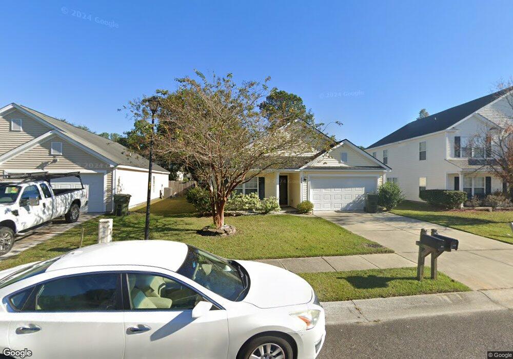
239 Maypop Dr Goose Creek, SC 29445
Estimated Value: $313,000 - $331,000
3
Beds
2
Baths
1,539
Sq Ft
$208/Sq Ft
Est. Value
About This Home
This home is located at 239 Maypop Dr, Goose Creek, SC 29445 and is currently estimated at $320,057, approximately $207 per square foot. 239 Maypop Dr is a home located in Berkeley County with nearby schools including Mount Holly Elementary, Sedgefield Middle School, and Goose Creek High School.
Ownership History
Date
Name
Owned For
Owner Type
Purchase Details
Closed on
Jul 10, 2006
Sold by
Beazer Homes Corp
Bought by
Smith William S and Smith Faith G
Current Estimated Value
Home Financials for this Owner
Home Financials are based on the most recent Mortgage that was taken out on this home.
Original Mortgage
$65,000
Outstanding Balance
$38,482
Interest Rate
6.6%
Mortgage Type
Future Advance Clause Open End Mortgage
Estimated Equity
$281,575
Purchase Details
Closed on
Jun 28, 2006
Sold by
Addco Llc
Bought by
Beazer Homes Corp
Home Financials for this Owner
Home Financials are based on the most recent Mortgage that was taken out on this home.
Original Mortgage
$65,000
Outstanding Balance
$38,482
Interest Rate
6.6%
Mortgage Type
Future Advance Clause Open End Mortgage
Estimated Equity
$281,575
Create a Home Valuation Report for This Property
The Home Valuation Report is an in-depth analysis detailing your home's value as well as a comparison with similar homes in the area
Home Values in the Area
Average Home Value in this Area
Purchase History
| Date | Buyer | Sale Price | Title Company |
|---|---|---|---|
| Smith William S | $164,330 | None Available | |
| Beazer Homes Corp | $477,550 | None Available |
Source: Public Records
Mortgage History
| Date | Status | Borrower | Loan Amount |
|---|---|---|---|
| Open | Smith William S | $65,000 |
Source: Public Records
Tax History Compared to Growth
Tax History
| Year | Tax Paid | Tax Assessment Tax Assessment Total Assessment is a certain percentage of the fair market value that is determined by local assessors to be the total taxable value of land and additions on the property. | Land | Improvement |
|---|---|---|---|---|
| 2025 | $1,044 | $174,438 | $37,582 | $136,856 |
| 2024 | $1,020 | $6,977 | $1,503 | $5,474 |
| 2023 | $1,020 | $6,977 | $1,503 | $5,474 |
| 2022 | $1,000 | $6,067 | $1,338 | $4,729 |
| 2021 | $1,073 | $6,070 | $1,338 | $4,729 |
| 2020 | $1,028 | $6,067 | $1,338 | $4,729 |
| 2019 | $980 | $6,067 | $1,338 | $4,729 |
| 2018 | $897 | $5,276 | $1,440 | $3,836 |
| 2017 | $891 | $5,276 | $1,440 | $3,836 |
| 2016 | $897 | $5,280 | $1,440 | $3,840 |
| 2015 | $847 | $5,280 | $1,440 | $3,840 |
| 2014 | $795 | $5,280 | $1,440 | $3,840 |
| 2013 | -- | $5,280 | $1,440 | $3,840 |
Source: Public Records
Map
Nearby Homes
- 346 Briarbend Rd
- 339 Briarbend Rd
- 141 Woodward Rd
- 192 Woodward Rd
- 380 Flyway Rd
- 126 Woodward Rd
- 338 Flyway Rd
- 315 Flyway Rd
- 30 Bonnie Burn Rd
- 37 Delaware Rd
- 20 Bonnie Burn Rd
- 00 Liberty Hall Rd
- 25 Delaware Rd
- 30 Oak Grove Rd
- 9 Pequannock Rd
- 58 Princeton Rd
- 000 Liberty Hall Rd
- 300 Greens Ct
- 105 Lovette Ct
- 300 Burton Ct
- 237 Maypop Dr
- 241 Maypop Dr
- 235 Maypop Dr
- 151 Wildberry Ln
- 149 Wildberry Ln
- 243 Maypop Dr
- 153 Wildberry Ln
- 147 Wildberry Ln
- 155 Wildberry Ln
- 233 Maypop Dr
- 226 Maypop Dr
- 117 Larkspur Dr
- 224 Maypop Dr
- 145 Wildberry Ln
- 245 Maypop Dr
- 222 Maypop Dr
- 157 Wildberry Ln
- 231 Maypop Dr
- 143 Wildberry Ln
- 115 Larkspur Dr