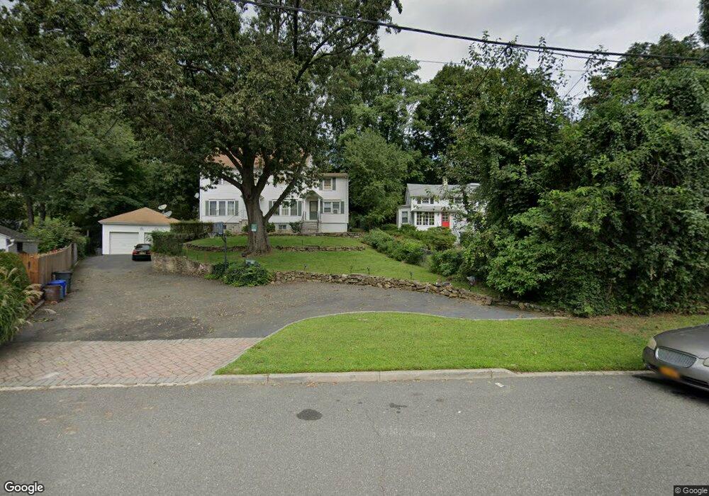
239 Mortimer St Port Chester, NY 10573
Estimated Value: $750,000 - $1,174,000
6
Beds
6
Baths
3,924
Sq Ft
$259/Sq Ft
Est. Value
About This Home
This home is located at 239 Mortimer St, Port Chester, NY 10573 and is currently estimated at $1,015,345, approximately $258 per square foot. 239 Mortimer St is a home located in Westchester County with nearby schools including Port Chester Middle School, Port Chester Senior High School, and Westchester Fairfield Hebrew A.
Ownership History
Date
Name
Owned For
Owner Type
Purchase Details
Closed on
Nov 1, 2004
Sold by
Janzen Isabelle M
Bought by
Silva Jose A
Current Estimated Value
Home Financials for this Owner
Home Financials are based on the most recent Mortgage that was taken out on this home.
Original Mortgage
$425,000
Interest Rate
5.75%
Mortgage Type
Purchase Money Mortgage
Create a Home Valuation Report for This Property
The Home Valuation Report is an in-depth analysis detailing your home's value as well as a comparison with similar homes in the area
Home Values in the Area
Average Home Value in this Area
Purchase History
| Date | Buyer | Sale Price | Title Company |
|---|---|---|---|
| Silva Jose A | $770,000 | -- |
Source: Public Records
Mortgage History
| Date | Status | Borrower | Loan Amount |
|---|---|---|---|
| Previous Owner | Silva Jose A | $425,000 |
Source: Public Records
Tax History Compared to Growth
Tax History
| Year | Tax Paid | Tax Assessment Tax Assessment Total Assessment is a certain percentage of the fair market value that is determined by local assessors to be the total taxable value of land and additions on the property. | Land | Improvement |
|---|---|---|---|---|
| 2024 | $21,299 | $928,600 | $220,400 | $708,200 |
| 2023 | $19,913 | $892,900 | $209,900 | $683,000 |
| 2022 | $18,225 | $826,800 | $209,900 | $616,900 |
| 2021 | $19,749 | $742,900 | $209,900 | $533,000 |
| 2020 | $20,808 | $742,900 | $209,900 | $533,000 |
| 2019 | $27,812 | $714,000 | $151,900 | $562,100 |
| 2018 | $14,384 | $680,000 | $153,200 | $526,800 |
| 2017 | $3,098 | $752,000 | $141,600 | $610,400 |
| 2016 | $27,647 | $703,600 | $134,900 | $568,700 |
| 2015 | -- | $715,300 | $148,300 | $567,000 |
| 2014 | -- | $516,100 | $113,600 | $402,500 |
| 2013 | -- | $525,600 | $113,600 | $412,000 |
Source: Public Records
Map
Nearby Homes
- 53 Linden St
- 531 1/2 Willett Ave
- 340 Locust Ave
- 558 Locust Ave
- 412 Orchard St
- 180 Madison Ave
- 238 Madison Ave
- 374 King St
- 38 Riverdale Ave
- 325 King St Unit 2G
- 325 King St Unit 4D
- 325 King St Unit 6J
- 29 Clermont Ave
- 315 King St Unit 1L
- 315 King St Unit 6A
- 315 King St Unit 1B
- 315 King St Unit 2H
- 315 King St Unit 5C
- 315 King St Unit 5B
- 484 King St
- 239 Mortimer St Unit B
- 239 Mortimer St Unit Right
- 237 Mortimer St
- 241 Mortimer St
- 235 Mortimer St
- 89 Birch St
- 91 Birch St
- 87 Birch St
- 93 Birch St
- 233 Mortimer St
- 236 Mortimer St
- 239 Husted St Unit Right Side
- 239 Husted St Unit Main
- 239 Husted St
- 85 Birch St
- 235 Husted St
- 95 Birch St
- 223 Mortimer St
- 234 Mortimer St
- 15 Brook Rd