239 N Wesley Chapel Rd Eatonton, GA 31024
Estimated Value: $370,000 - $573,000
--
Bed
3
Baths
2,984
Sq Ft
$152/Sq Ft
Est. Value
About This Home
This home is located at 239 N Wesley Chapel Rd, Eatonton, GA 31024 and is currently estimated at $454,701, approximately $152 per square foot. 239 N Wesley Chapel Rd is a home located in Putnam County with nearby schools including Putnam County Primary School, Putnam County Elementary School, and Putnam County Middle School.
Ownership History
Date
Name
Owned For
Owner Type
Purchase Details
Closed on
Dec 12, 2022
Sold by
Sanders Barry L
Bought by
Sanders Barry L and Mullis Anna
Current Estimated Value
Purchase Details
Closed on
Oct 16, 2020
Sold by
Sanders Barry L
Bought by
Sanders Barry L and Mullis Anna
Home Financials for this Owner
Home Financials are based on the most recent Mortgage that was taken out on this home.
Original Mortgage
$60,000
Interest Rate
2.8%
Mortgage Type
New Conventional
Purchase Details
Closed on
May 27, 1986
Sold by
Sanders Barry
Bought by
Sanders Barry and Sanders Gina G
Purchase Details
Closed on
Jan 1, 1979
Sold by
Bozardt Rollie W
Bought by
Sanders Barry
Create a Home Valuation Report for This Property
The Home Valuation Report is an in-depth analysis detailing your home's value as well as a comparison with similar homes in the area
Home Values in the Area
Average Home Value in this Area
Purchase History
| Date | Buyer | Sale Price | Title Company |
|---|---|---|---|
| Sanders Barry L | -- | -- | |
| Sanders Barry L | -- | -- | |
| Sanders Barry | -- | -- | |
| Sanders Barry | $54,000 | -- |
Source: Public Records
Mortgage History
| Date | Status | Borrower | Loan Amount |
|---|---|---|---|
| Previous Owner | Sanders Barry L | $60,000 |
Source: Public Records
Tax History Compared to Growth
Tax History
| Year | Tax Paid | Tax Assessment Tax Assessment Total Assessment is a certain percentage of the fair market value that is determined by local assessors to be the total taxable value of land and additions on the property. | Land | Improvement |
|---|---|---|---|---|
| 2024 | $956 | $151,176 | $27,388 | $123,788 |
| 2023 | $956 | $121,459 | $22,825 | $98,634 |
| 2022 | $1,008 | $98,933 | $16,538 | $82,395 |
| 2021 | $1,130 | $109,061 | $18,291 | $90,770 |
| 2020 | $1,200 | $110,024 | $18,291 | $91,733 |
| 2019 | $1,147 | $89,120 | $20,404 | $68,716 |
| 2018 | $1,163 | $89,120 | $20,404 | $68,716 |
| 2017 | $1,048 | $89,120 | $20,404 | $68,716 |
| 2016 | $987 | $91,064 | $22,348 | $68,716 |
| 2015 | $945 | $91,694 | $22,978 | $68,716 |
| 2014 | $946 | $91,694 | $22,978 | $68,716 |
Source: Public Records
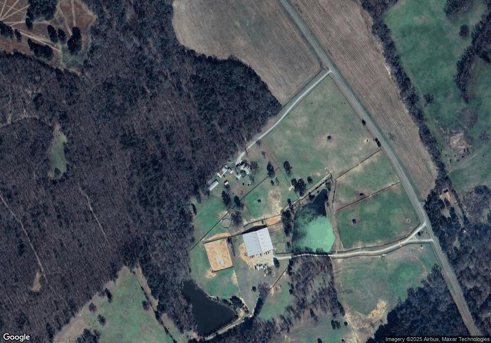
Map
Nearby Homes
- 275 N Wesley Chapel Rd
- 274 Sparta Hwy
- 196 Maddox Rd
- 151 Creekside Rd Unit (LOT 29)
- 153 Creekside Rd Unit (LOT 30)
- 272 A Little River Trail
- 134 Creekside Rd Unit (LOT 42)
- 132 Creekside Rd Unit LOT 43
- TRACT 2 Hwy 129
- Lot 15 Oconee Springs Rd SE
- 114 Wingspan Way
- Lot 19 L Mc Gehees Trail
- LOTS 5 & 6 Quail Knoll Dr
- 107 Timber Way Ct Unit (LOT 11)
- 3.5 +/- acres New Phoenix Rd
- 1152 Highway 16
- 469 New Phoenix Rd NE
- TRACT 1 Hwy 129 Hwy
- 637 Lower Harmony Rd
- 700 New St
- 234 N Wesley Chapel Rd
- 0 Wesley Chapel Unit 3061089
- 0 Wesley Chapel Unit 1 7037189
- 0 Wesley Chapel Unit 8950087
- N N Wesley Chapel Rd
- 182 N Wesley Chapel Rd
- 116 Country Ln
- 164 Country Ln
- 196 N Wesley Chapel Rd
- 120 Country Ln
- 132 Country Ln
- 0 Country Ln Unit 7024548
- 0 Country Ln Unit 7123225
- 185 N Wesley Chapel Rd
- 125 Country Ln
- 121 Country Ln
- 129 Country Ln
- 197 Country Ln
- 328 Greensboro Rd
- 173 Country Ln