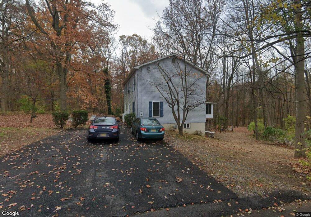
239 Olive Ave Woodbury, NJ 08096
Deptford Township NeighborhoodEstimated Value: $359,000 - $418,000
--
Bed
--
Bath
2,128
Sq Ft
$187/Sq Ft
Est. Value
About This Home
This home is located at 239 Olive Ave, Woodbury, NJ 08096 and is currently estimated at $397,236, approximately $186 per square foot. 239 Olive Ave is a home located in Gloucester County with nearby schools including Deptford Township High School and St. Teresa Regional School.
Ownership History
Date
Name
Owned For
Owner Type
Purchase Details
Closed on
Oct 6, 2017
Sold by
Salvatore Joanne and Salvatore Michael
Bought by
Shipe Francis T
Current Estimated Value
Home Financials for this Owner
Home Financials are based on the most recent Mortgage that was taken out on this home.
Original Mortgage
$178,703
Outstanding Balance
$149,109
Interest Rate
3.87%
Mortgage Type
FHA
Estimated Equity
$248,127
Purchase Details
Closed on
Mar 27, 1990
Bought by
Foster Charles
Create a Home Valuation Report for This Property
The Home Valuation Report is an in-depth analysis detailing your home's value as well as a comparison with similar homes in the area
Home Values in the Area
Average Home Value in this Area
Purchase History
| Date | Buyer | Sale Price | Title Company |
|---|---|---|---|
| Shipe Francis T | $182,000 | Surety Title Co Llc | |
| Foster Charles | $16,000 | -- |
Source: Public Records
Mortgage History
| Date | Status | Borrower | Loan Amount |
|---|---|---|---|
| Open | Shipe Francis T | $178,703 |
Source: Public Records
Tax History Compared to Growth
Tax History
| Year | Tax Paid | Tax Assessment Tax Assessment Total Assessment is a certain percentage of the fair market value that is determined by local assessors to be the total taxable value of land and additions on the property. | Land | Improvement |
|---|---|---|---|---|
| 2025 | $8,773 | $244,700 | $56,200 | $188,500 |
| 2024 | $8,491 | $244,700 | $56,200 | $188,500 |
| 2023 | $8,491 | $244,700 | $56,200 | $188,500 |
| 2022 | $8,430 | $244,700 | $56,200 | $188,500 |
| 2021 | $7,839 | $244,700 | $56,200 | $188,500 |
| 2020 | $8,215 | $244,700 | $56,200 | $188,500 |
| 2019 | $8,058 | $244,700 | $56,200 | $188,500 |
| 2018 | $7,877 | $244,700 | $56,200 | $188,500 |
| 2017 | $7,666 | $244,700 | $56,200 | $188,500 |
| 2016 | $7,510 | $244,700 | $56,200 | $188,500 |
| 2015 | $7,277 | $244,700 | $56,200 | $188,500 |
| 2014 | $7,089 | $244,700 | $56,200 | $188,500 |
Source: Public Records
Map
Nearby Homes
- 1284 Hurffville Rd
- 1602 Almonesson Rd
- 2029 Konrad Ave
- 47 Jones Ave
- 0 Ethel Ave
- 1905 Bellevue Ave
- 1924 Rosemore Ave
- 240 Deer Ln
- 51 Linden Dr
- 571 Almonesson Rd
- 1554 Good Intent Rd
- 0 Summit Ave
- 1228 Burlington Ave
- 1334 Good Intent Rd
- 1287 Clements Bridge Rd
- 9 Birch Ct
- 427 Fern Ave
- 1832 County House Rd
- 415 Rankin Ave
- 1515 Hurffville Rd