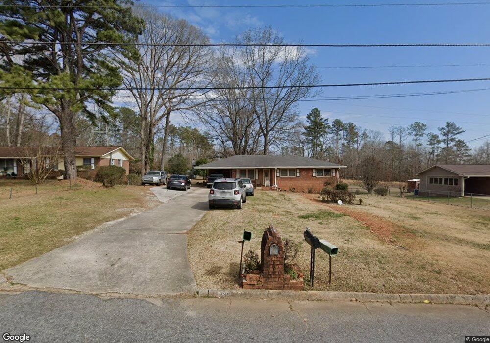
239 Pinetree Cir Griffin, GA 30223
Spalding County NeighborhoodEstimated Value: $178,000 - $201,000
2
Beds
3
Baths
2,010
Sq Ft
$94/Sq Ft
Est. Value
About This Home
This home is located at 239 Pinetree Cir, Griffin, GA 30223 and is currently estimated at $188,376, approximately $93 per square foot. 239 Pinetree Cir is a home located in Spalding County with nearby schools including Atkinson Elementary School, Cowan Road Middle School, and Spalding High School.
Ownership History
Date
Name
Owned For
Owner Type
Purchase Details
Closed on
Feb 10, 1972
Sold by
Johnson Marvin E
Bought by
Starks Otis and Starks Carrie
Current Estimated Value
Purchase Details
Closed on
Aug 21, 1971
Sold by
Spalding Real Estate & Construction
Bought by
Johnson Marvin E
Purchase Details
Closed on
Jun 11, 1970
Sold by
Goldstein Louis W
Bought by
Spalding Real Estate & Construction
Purchase Details
Closed on
Jul 19, 1967
Sold by
Forrer Arthur and Goldstein Louis W
Bought by
Forrer Arthur
Purchase Details
Closed on
Jan 3, 1966
Bought by
Forrer Arthur and Goldstein Louis W
Create a Home Valuation Report for This Property
The Home Valuation Report is an in-depth analysis detailing your home's value as well as a comparison with similar homes in the area
Home Values in the Area
Average Home Value in this Area
Purchase History
| Date | Buyer | Sale Price | Title Company |
|---|---|---|---|
| Starks Otis | $19,800 | -- | |
| Johnson Marvin E | $2,600 | -- | |
| Spalding Real Estate & Construction | $5,000 | -- | |
| Forrer Arthur | -- | -- | |
| Forrer Arthur | -- | -- |
Source: Public Records
Tax History Compared to Growth
Tax History
| Year | Tax Paid | Tax Assessment Tax Assessment Total Assessment is a certain percentage of the fair market value that is determined by local assessors to be the total taxable value of land and additions on the property. | Land | Improvement |
|---|---|---|---|---|
| 2024 | $305 | $58,289 | $7,524 | $50,765 |
| 2023 | $305 | $59,443 | $7,524 | $51,919 |
| 2022 | $283 | $52,102 | $6,270 | $45,832 |
| 2021 | $262 | $45,897 | $6,270 | $39,627 |
| 2020 | $244 | $39,292 | $6,270 | $33,022 |
| 2019 | $246 | $39,292 | $6,270 | $33,022 |
| 2018 | $240 | $36,092 | $6,270 | $29,822 |
| 2017 | $241 | $36,092 | $6,270 | $29,822 |
| 2016 | $429 | $36,092 | $6,270 | $29,822 |
| 2015 | $498 | $38,080 | $6,270 | $31,810 |
| 2014 | $511 | $38,080 | $6,270 | $31,810 |
Source: Public Records
Map
Nearby Homes
- 0 Short St Unit 10555372
- 0 Short St Unit 7572526
- 1416 Spellman Ave
- 1621 N Hill St
- 1324 Spellman Ave
- 607 Lakewood Dr
- 126 Callie Rd
- 1307 Wildwood Dr
- 204 Custer Cir
- 32 UNIT MUTLIPL Multiple
- 1406 Canterbury Rd
- 221 Lexington Ave
- 101 Behan Place
- 209 Kentucky Ave
- 1406 N 9th St
- 418 E Northwoods Dr
- 112 W Lexington Ave
- 125 W Lexington Ave
- 204 Derek Ct
- 122 W Lexington Ave
- 237 Pinetree Cir
- 241 Pinetree Cir
- 235 Pinetree Cir
- 243 Pinetree Cir
- 215 Ella Cir Unit 2
- 219 Ella Cir Unit 2
- 213 Ella Cir
- 238 Pinetree Cir
- 223 Ella Cir
- 240 Pinetree Cir
- 245 Pinetree Cir
- 233 Pinetree Cir
- 242 Pinetree Cir
- 234 Pinetree Cir
- 225 Ella Cir
- 211 Ella Cir
- 232 Pinetree Cir
- 231 Pinetree Cir
- 247 Pinetree Cir
- 0 Pinetree Cir Unit 7601292