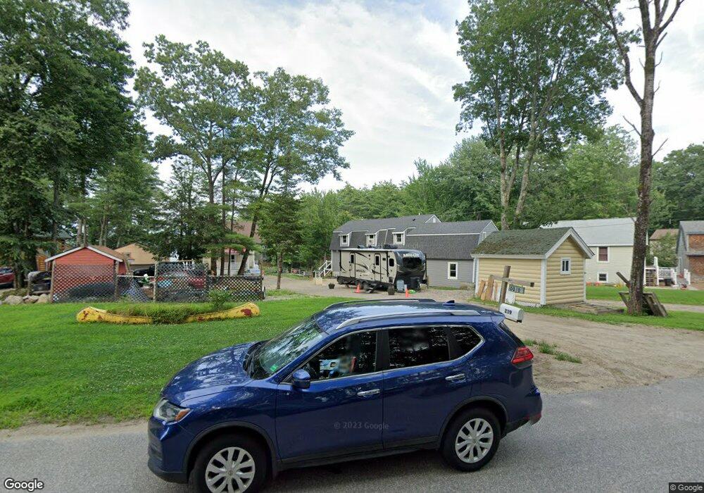
239 Poor Farm Rd Lyman, ME 04002
Lyman NeighborhoodEstimated Value: $394,000 - $555,000
2
Beds
2
Baths
1,056
Sq Ft
$439/Sq Ft
Est. Value
About This Home
This home is located at 239 Poor Farm Rd, Lyman, ME 04002 and is currently estimated at $463,721, approximately $439 per square foot. 239 Poor Farm Rd is a home with nearby schools including Massabesic High School.
Ownership History
Date
Name
Owned For
Owner Type
Purchase Details
Closed on
Nov 21, 2012
Sold by
Doyon Clement J
Bought by
Doyon Clement J and Andrews Catherine A
Current Estimated Value
Home Financials for this Owner
Home Financials are based on the most recent Mortgage that was taken out on this home.
Original Mortgage
$55,000
Interest Rate
3.42%
Mortgage Type
New Conventional
Create a Home Valuation Report for This Property
The Home Valuation Report is an in-depth analysis detailing your home's value as well as a comparison with similar homes in the area
Home Values in the Area
Average Home Value in this Area
Purchase History
| Date | Buyer | Sale Price | Title Company |
|---|---|---|---|
| Doyon Clement J | -- | -- |
Source: Public Records
Mortgage History
| Date | Status | Borrower | Loan Amount |
|---|---|---|---|
| Closed | Doyon Clement J | $55,000 |
Source: Public Records
Tax History Compared to Growth
Tax History
| Year | Tax Paid | Tax Assessment Tax Assessment Total Assessment is a certain percentage of the fair market value that is determined by local assessors to be the total taxable value of land and additions on the property. | Land | Improvement |
|---|---|---|---|---|
| 2024 | $4,376 | $347,000 | $208,000 | $139,000 |
| 2023 | $4,230 | $347,000 | $208,000 | $139,000 |
| 2022 | $4,060 | $347,000 | $208,000 | $139,000 |
| 2021 | $3,984 | $347,000 | $208,000 | $139,000 |
| 2020 | $3,107 | $289,000 | $162,000 | $127,000 |
| 2019 | $3,026 | $289,000 | $162,000 | $127,000 |
| 2018 | $2,965 | $245,000 | $134,000 | $111,000 |
| 2017 | $2,767 | $221,500 | $122,000 | $99,500 |
| 2015 | $2,743 | $221,200 | $121,700 | $99,500 |
| 2014 | $2,688 | $221,200 | $121,700 | $99,500 |
Source: Public Records
Map
Nearby Homes
- 65 Old County Rd
- 69 Oscar Littlefield Rd
- 40 Oakwood St
- 16 Marcotte Ln
- 22 White House Cove Rd
- 19 Day Rd
- 2252 Alfred Rd
- 330 Biddeford Rd
- 149 Duke Ln
- 87 Drown Rd
- 296 Wadleigh Pond Rd
- TBD Olde Farnham Rd
- 74 Lisa Dr
- 533 Kennebunk Rd
- 57 Reagan Lynn Rd
- Lot 1 Kennebunk Rd
- 232 Waterboro Rd
- 34 Cascade Cir Unit 30
- 22 Caya Ln Unit A
- 32 Conifer Dr
- 237 Poor Farm Rd
- 243 Poor Farm Rd
- 241 Poor Farm Rd
- 235 Poor Farm Rd
- 245 Poor Farm Rd
- 247 Poor Farm Rd
- 225 Poor Farm Rd
- 165 Shore Rd
- 221 Poor Farm Rd
- 163 Shore Rd
- 255 Poor Farm Rd
- 159 Shore Rd
- 263 Poor Farm Rd
- 251 Poor Farm Rd
- 256 Poor Farm Rd
- 157 Shore Rd
- 267 Poor Farm Rd
- 265 Poor Farm Rd
- 155 Shore Rd
- 219 Poor Farm Rd