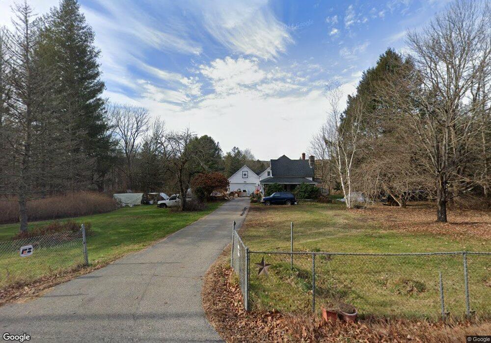
239 River Rd Willington, CT 06279
Estimated Value: $362,000 - $530,000
3
Beds
2
Baths
1,732
Sq Ft
$253/Sq Ft
Est. Value
About This Home
This home is located at 239 River Rd, Willington, CT 06279 and is currently estimated at $438,348, approximately $253 per square foot. 239 River Rd is a home located in Tolland County with nearby schools including Center Elementary School, Hall Memorial School, and E.O. Smith High School.
Ownership History
Date
Name
Owned For
Owner Type
Purchase Details
Closed on
Sep 2, 2010
Sold by
Jackopsic Gary M
Bought by
Page Richard E and Wheeler-Page Amy J
Current Estimated Value
Home Financials for this Owner
Home Financials are based on the most recent Mortgage that was taken out on this home.
Original Mortgage
$231,000
Interest Rate
4.55%
Create a Home Valuation Report for This Property
The Home Valuation Report is an in-depth analysis detailing your home's value as well as a comparison with similar homes in the area
Home Values in the Area
Average Home Value in this Area
Purchase History
| Date | Buyer | Sale Price | Title Company |
|---|---|---|---|
| Page Richard E | $330,000 | -- | |
| Page Richard E | $330,000 | -- |
Source: Public Records
Mortgage History
| Date | Status | Borrower | Loan Amount |
|---|---|---|---|
| Open | Page Richard E | $46,000 | |
| Open | Page Richard E | $245,600 | |
| Closed | Page Richard E | $231,000 |
Source: Public Records
Tax History
| Year | Tax Paid | Tax Assessment Tax Assessment Total Assessment is a certain percentage of the fair market value that is determined by local assessors to be the total taxable value of land and additions on the property. | Land | Improvement |
|---|---|---|---|---|
| 2025 | $6,473 | $254,650 | $64,570 | $190,080 |
| 2024 | $6,823 | $201,320 | $47,470 | $153,850 |
| 2023 | $6,474 | $201,320 | $47,470 | $153,850 |
| 2022 | $6,295 | $201,320 | $47,470 | $153,850 |
| 2021 | $6,038 | $201,320 | $47,470 | $153,850 |
| 2020 | $6,038 | $201,320 | $47,470 | $153,850 |
| 2019 | $6,058 | $201,320 | $47,470 | $153,850 |
| 2018 | $5,638 | $187,370 | $58,480 | $128,890 |
| 2017 | $5,638 | $187,370 | $58,480 | $128,890 |
| 2015 | $5,123 | $187,370 | $58,480 | $128,890 |
| 2014 | $5,123 | $187,370 | $58,480 | $128,890 |
Source: Public Records
Map
Nearby Homes
- 131 River Rd
- 124 River Rd
- 70 Tolland Turnpike
- 0 Tolland Stage Rd Unit 24101836
- 159 Anthony Rd
- 137 Anthony Rd
- 8 Walbridge Hill Rd
- 535 Merrow Rd
- 22 Cisar Rd
- 1728 Stafford Rd
- 312 Merrow Rd
- 317 Merrow Rd
- 284 Merrow Rd
- 248 Merrow Rd
- 0 River Rd Unit 24120753
- 167 Baxter Rd
- 152 Cedar Swamp Rd
- 20 Barlow Dr
- 0 Merrow Rd Unit 24141193
- 33 Josephine Way
Your Personal Tour Guide
Ask me questions while you tour the home.