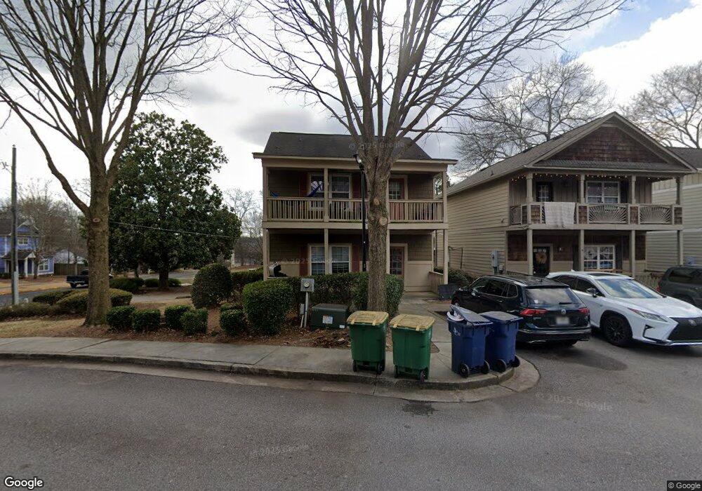
239 Ruth St Athens, GA 30601
North Avenue NeighborhoodEstimated Value: $350,151 - $363,000
3
Beds
3
Baths
1,500
Sq Ft
$236/Sq Ft
Est. Value
About This Home
This home is located at 239 Ruth St, Athens, GA 30601 and is currently estimated at $354,538, approximately $236 per square foot. 239 Ruth St is a home located in Clarke County with nearby schools including Howard B. Stroud Elementary School, Coile Middle School, and Cedar Shoals High School.
Ownership History
Date
Name
Owned For
Owner Type
Purchase Details
Closed on
Sep 24, 2010
Sold by
Kowal Steven J
Bought by
Athens Park Avenue Llc
Current Estimated Value
Purchase Details
Closed on
Sep 13, 2010
Sold by
Athens Park Avenue Llc
Bought by
Kowal Steven J
Purchase Details
Closed on
Dec 4, 2008
Sold by
Not Provided
Bought by
Athens Park Avenue Llc
Purchase Details
Closed on
Sep 30, 2008
Sold by
Not Provided
Bought by
Athens Park Avenue Llc
Create a Home Valuation Report for This Property
The Home Valuation Report is an in-depth analysis detailing your home's value as well as a comparison with similar homes in the area
Home Values in the Area
Average Home Value in this Area
Purchase History
| Date | Buyer | Sale Price | Title Company |
|---|---|---|---|
| Athens Park Avenue Llc | -- | -- | |
| Kowal Steven J | -- | -- | |
| Athens Park Avenue Llc | -- | -- | |
| Athens Park Avenue Llc | $197,000 | -- |
Source: Public Records
Tax History Compared to Growth
Tax History
| Year | Tax Paid | Tax Assessment Tax Assessment Total Assessment is a certain percentage of the fair market value that is determined by local assessors to be the total taxable value of land and additions on the property. | Land | Improvement |
|---|---|---|---|---|
| 2025 | $3,714 | $119,606 | $16,000 | $103,606 |
| 2024 | $3,714 | $115,748 | $16,000 | $99,748 |
| 2023 | $3,617 | $110,676 | $16,000 | $94,676 |
| 2022 | $2,872 | $90,042 | $16,000 | $74,042 |
| 2021 | $2,896 | $85,948 | $16,000 | $69,948 |
| 2020 | $2,889 | $85,724 | $16,000 | $69,724 |
| 2019 | $2,442 | $71,934 | $16,000 | $55,934 |
| 2018 | $2,273 | $66,958 | $16,000 | $50,958 |
| 2017 | $2,039 | $60,070 | $16,000 | $44,070 |
| 2016 | $2,020 | $59,498 | $16,000 | $43,498 |
| 2015 | $2,023 | $59,493 | $16,000 | $43,493 |
| 2014 | $1,853 | $54,410 | $16,000 | $38,410 |
Source: Public Records
Map
Nearby Homes
- 239 Ruth St Unit 15
- 455 Ruth St
- 118 Ruth Dr Unit 130
- 118 Ruth Dr Unit 140
- 118 Ruth Dr Unit 310
- 118 Ruth Dr Unit 610
- 211 North Ave Unit 1333
- 464 Ruth St
- 136 Bridgewater Cir
- 239 Madison Heights
- 249 Fifth St
- 668 Pulaski St
- 270 Atlanta Ave
- 600 Pulaski St
- 560 Rosa Nell Howard St
- 495 Boley Dr
- 559 Pulaski St
- 135 Maxey Blvd