239 Sea Rd Unit 31 Kennebunk, ME 04043
Estimated Value: $780,713 - $952,000
4
Beds
4
Baths
1,912
Sq Ft
$441/Sq Ft
Est. Value
About This Home
This home is located at 239 Sea Rd Unit 31, Kennebunk, ME 04043 and is currently estimated at $843,428, approximately $441 per square foot. 239 Sea Rd Unit 31 is a home located in York County with nearby schools including Kennebunk High School.
Ownership History
Date
Name
Owned For
Owner Type
Purchase Details
Closed on
May 9, 2014
Sold by
Burchill Claire M
Bought by
Claire M Burchill Ret
Current Estimated Value
Purchase Details
Closed on
Jan 23, 2009
Sold by
Gaudrault John R
Bought by
Burchill Claire Marie and Burchill Claire M
Home Financials for this Owner
Home Financials are based on the most recent Mortgage that was taken out on this home.
Original Mortgage
$210,000
Outstanding Balance
$135,059
Interest Rate
5.51%
Mortgage Type
Unknown
Estimated Equity
$708,369
Create a Home Valuation Report for This Property
The Home Valuation Report is an in-depth analysis detailing your home's value as well as a comparison with similar homes in the area
Home Values in the Area
Average Home Value in this Area
Purchase History
| Date | Buyer | Sale Price | Title Company |
|---|---|---|---|
| Claire M Burchill Ret | -- | -- | |
| Burchill Claire Marie | -- | -- |
Source: Public Records
Mortgage History
| Date | Status | Borrower | Loan Amount |
|---|---|---|---|
| Open | Burchill Claire Marie | $210,000 | |
| Previous Owner | Burchill Claire Marie | $350,000 |
Source: Public Records
Tax History Compared to Growth
Tax History
| Year | Tax Paid | Tax Assessment Tax Assessment Total Assessment is a certain percentage of the fair market value that is determined by local assessors to be the total taxable value of land and additions on the property. | Land | Improvement |
|---|---|---|---|---|
| 2024 | $8,480 | $500,300 | $233,300 | $267,000 |
| 2023 | $8,030 | $500,300 | $233,300 | $267,000 |
| 2022 | $7,304 | $500,300 | $233,300 | $267,000 |
| 2021 | $7,129 | $500,300 | $233,300 | $267,000 |
| 2020 | $7,079 | $500,300 | $233,300 | $267,000 |
| 2019 | $6,879 | $500,300 | $233,300 | $267,000 |
| 2018 | $6,566 | $375,200 | $175,000 | $200,200 |
| 2017 | $6,210 | $375,200 | $175,000 | $200,200 |
| 2016 | $5,966 | $375,200 | $175,000 | $200,200 |
| 2015 | $5,741 | $375,200 | $175,000 | $200,200 |
| 2014 | $5,590 | $375,200 | $175,000 | $200,200 |
Source: Public Records
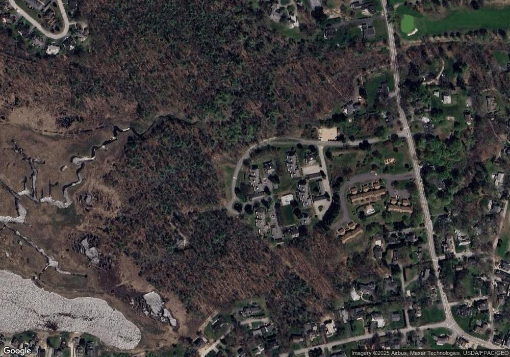
Map
Nearby Homes
- 53 Great Hill Rd
- 12 Ephraim Tyler Way
- 20 Ephraim Tyler Way Unit 20
- 15 Benjamin Hubbard Ln Unit 15
- 175 Beach Ave Unit 2
- 20 Surf Ln
- 147 Beach Ave Unit 42
- 143 Beach Ave Unit 205
- 143 Beach Ave Unit 203
- 40 Shorebreezes Ln Unit 40
- 149 Beach Ave Unit 107
- 57 Southgate Rd
- 87 Boothby Rd
- 17 Bayberry Ave
- 93 Beach Ave
- 12 Wallace St
- 9 Christensen Ln
- 12 Beach Ave
- 3 Breakwater Ct Unit 1
- 15 Christensen Ln Unit B1
- 239 Sea Rd Unit 36
- 239 Sea Rd Unit 35
- 239 Sea Rd Unit 34
- 239 Sea Rd Unit 33
- 239 Sea Rd Unit 30
- 239 Sea Rd Unit 29
- 239 Sea Rd Unit 28
- 239 Sea Rd Unit 27
- 239 Sea Rd Unit 26
- 239 Sea Rd Unit 25
- 239 Sea Rd Unit 24
- 239 Sea Rd Unit 23
- 239 Sea Rd Unit 22
- 239 Sea Rd Unit 21
- 239 Sea Rd Unit 20
- 239 Sea Rd Unit 19
- 239 Sea Rd Unit 18
- 239 Sea Rd Unit 17
- 239 Sea Rd Unit 16
- 239 Sea Rd Unit 15