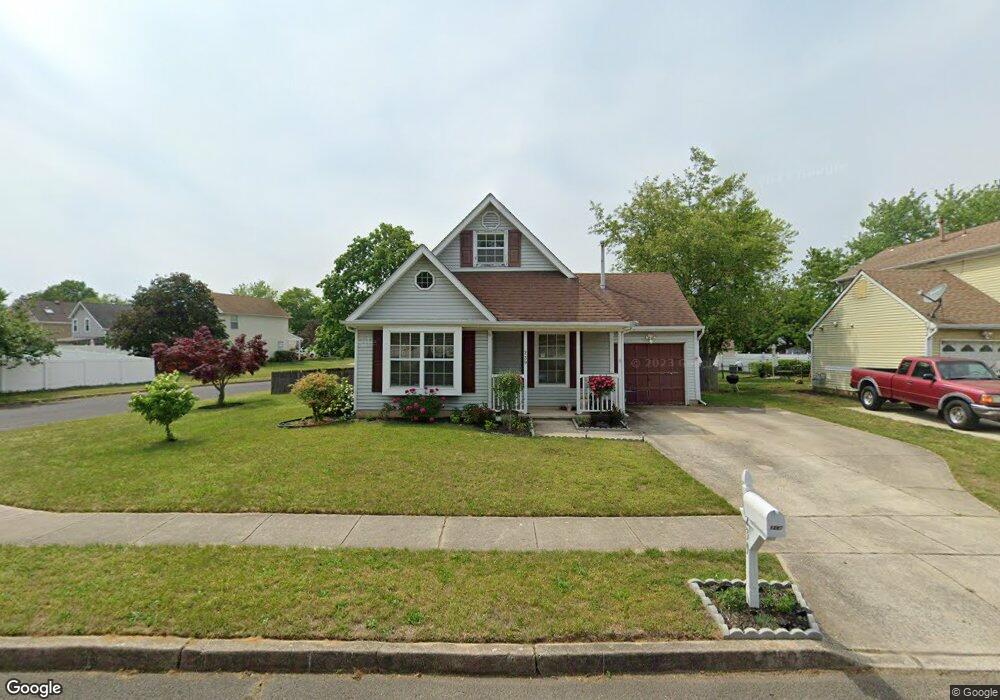
239 Stirrup Rd Swedesboro, NJ 08085
Logan Township NeighborhoodEstimated Value: $313,000 - $350,000
--
Bed
--
Bath
1,224
Sq Ft
$269/Sq Ft
Est. Value
About This Home
This home is located at 239 Stirrup Rd, Swedesboro, NJ 08085 and is currently estimated at $329,289, approximately $269 per square foot. 239 Stirrup Rd is a home located in Gloucester County with nearby schools including Logan Township Elementary School.
Ownership History
Date
Name
Owned For
Owner Type
Purchase Details
Closed on
Sep 30, 2005
Sold by
Thompson Thomas and Thompson Kimberly
Bought by
Kent Bruce
Current Estimated Value
Home Financials for this Owner
Home Financials are based on the most recent Mortgage that was taken out on this home.
Original Mortgage
$153,520
Outstanding Balance
$81,964
Interest Rate
5.72%
Mortgage Type
Purchase Money Mortgage
Estimated Equity
$247,325
Purchase Details
Closed on
May 24, 2001
Sold by
Ruggeri Tony D
Bought by
Thompson Thomas and Thompson Kimberly
Home Financials for this Owner
Home Financials are based on the most recent Mortgage that was taken out on this home.
Original Mortgage
$104,342
Interest Rate
7.08%
Mortgage Type
FHA
Purchase Details
Closed on
Jun 24, 1994
Sold by
Ruggeri Tony D and Ruggeri Karen J
Bought by
Ruggeri Tony D
Create a Home Valuation Report for This Property
The Home Valuation Report is an in-depth analysis detailing your home's value as well as a comparison with similar homes in the area
Home Values in the Area
Average Home Value in this Area
Purchase History
| Date | Buyer | Sale Price | Title Company |
|---|---|---|---|
| Kent Bruce | $190,000 | -- | |
| Thompson Thomas | $105,500 | -- | |
| Ruggeri Tony D | -- | -- |
Source: Public Records
Mortgage History
| Date | Status | Borrower | Loan Amount |
|---|---|---|---|
| Open | Kent Bruce | $153,520 | |
| Previous Owner | Thompson Thomas | $104,342 |
Source: Public Records
Tax History Compared to Growth
Tax History
| Year | Tax Paid | Tax Assessment Tax Assessment Total Assessment is a certain percentage of the fair market value that is determined by local assessors to be the total taxable value of land and additions on the property. | Land | Improvement |
|---|---|---|---|---|
| 2025 | $3,497 | $269,000 | $67,500 | $201,500 |
| 2024 | $3,566 | $269,000 | $67,500 | $201,500 |
| 2023 | $3,566 | $177,400 | $52,500 | $124,900 |
| 2022 | $3,706 | $177,400 | $52,500 | $124,900 |
| 2021 | $2,616 | $177,400 | $52,500 | $124,900 |
| 2020 | $3,858 | $177,400 | $52,500 | $124,900 |
| 2019 | $3,853 | $177,400 | $52,500 | $124,900 |
| 2018 | $3,747 | $177,400 | $52,500 | $124,900 |
| 2017 | $3,445 | $137,400 | $47,500 | $89,900 |
| 2016 | $3,388 | $137,400 | $47,500 | $89,900 |
| 2015 | $2,995 | $137,400 | $47,500 | $89,900 |
| 2014 | $2,905 | $137,400 | $47,500 | $89,900 |
Source: Public Records
Map
Nearby Homes
- 17 Hickory Ln
- 112 Carriage Ln
- 55 Hamilton St
- 111 Peachwood Dr
- 23 Adams St
- 364 High Hill Rd
- 142 Ramona Ln
- 135 Juniper Ln
- 18 Dogwood Place
- 120 Edward Dr
- 217 Spruce Trail
- 9 Brattleboro Rd
- 209 Windsor Dr
- 229 Westbrook Dr
- 2153 Route 322
- 144 Robins Run W
- 128 Robins Run W
- 203 Amesbury Blvd
- 330 Taft Dr
- 1508 Lexington Mews