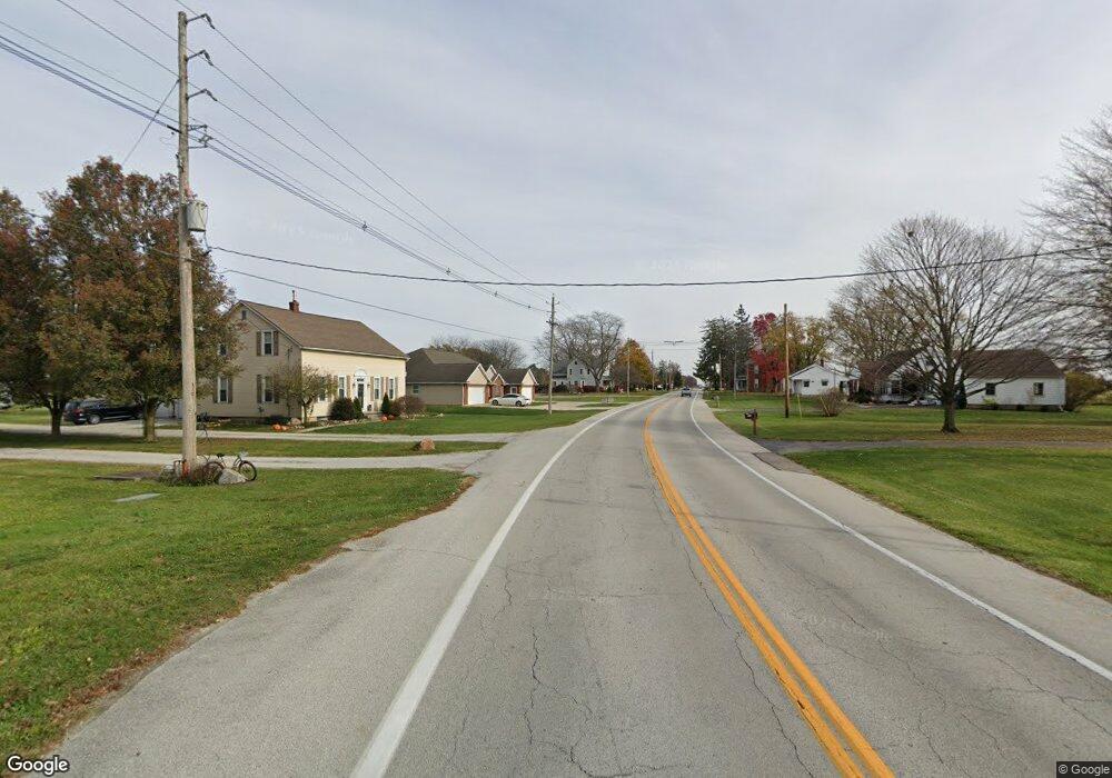
239 W State Route 219 St New Knoxville, OH 45871
Estimated Value: $144,000 - $249,000
3
Beds
2
Baths
1,932
Sq Ft
$110/Sq Ft
Est. Value
About This Home
This home is located at 239 W State Route 219 St, New Knoxville, OH 45871 and is currently estimated at $212,582, approximately $110 per square foot. 239 W State Route 219 St is a home with nearby schools including New Knoxville Elementary School.
Ownership History
Date
Name
Owned For
Owner Type
Purchase Details
Closed on
Dec 21, 2017
Sold by
Dicke Michael T and Dicke Jennifer M
Bought by
Kunk Robert T and Kunk Patricia J
Current Estimated Value
Purchase Details
Closed on
Nov 13, 2015
Sold by
Leonard Ramona M and Leonard James F
Bought by
Dicke Michael T and Dicke Jennifer M
Home Financials for this Owner
Home Financials are based on the most recent Mortgage that was taken out on this home.
Original Mortgage
$574,734
Outstanding Balance
$411,210
Interest Rate
3.74%
Mortgage Type
Purchase Money Mortgage
Estimated Equity
-$198,628
Purchase Details
Closed on
May 4, 2012
Sold by
Estate Of Richard Alvin Black
Bought by
Black Rosalyn Ann
Purchase Details
Closed on
Feb 26, 2004
Sold by
Leonard Ramona
Bought by
Leonard Ramona
Purchase Details
Closed on
Jun 17, 1993
Sold by
Eschmeyer Lorena M
Bought by
Black Rosalyn
Create a Home Valuation Report for This Property
The Home Valuation Report is an in-depth analysis detailing your home's value as well as a comparison with similar homes in the area
Home Values in the Area
Average Home Value in this Area
Purchase History
| Date | Buyer | Sale Price | Title Company |
|---|---|---|---|
| Kunk Robert T | $27,000 | None Available | |
| Dicke Michael T | $573,766 | Attorney | |
| Black Rosalyn Ann | -- | None Available | |
| Leonard Ramona | -- | -- | |
| Black Rosalyn | -- | -- |
Source: Public Records
Mortgage History
| Date | Status | Borrower | Loan Amount |
|---|---|---|---|
| Open | Dicke Michael T | $574,734 |
Source: Public Records
Tax History Compared to Growth
Tax History
| Year | Tax Paid | Tax Assessment Tax Assessment Total Assessment is a certain percentage of the fair market value that is determined by local assessors to be the total taxable value of land and additions on the property. | Land | Improvement |
|---|---|---|---|---|
| 2024 | $992 | $14,790 | $14,460 | $330 |
| 2023 | $458 | $14,790 | $14,460 | $330 |
| 2022 | $314 | $7,830 | $7,830 | $0 |
| 2021 | $314 | $7,830 | $7,830 | $0 |
| 2020 | $167 | $7,830 | $7,830 | $0 |
| 2019 | $498 | $7,676 | $7,676 | $0 |
| 2018 | $478 | $7,676 | $7,676 | $0 |
| 2017 | $229 | $2,765 | $2,765 | $0 |
| 2016 | $241 | $2,653 | $2,653 | $0 |
| 2015 | $239 | $2,653 | $2,653 | $0 |
| 2014 | $239 | $2,653 | $2,653 | $0 |
| 2013 | $106 | $2,653 | $2,653 | $0 |
Source: Public Records
Map
Nearby Homes
- 107 S Mill St
- 101 Saxony Dr
- 103 Saxony Dr
- 0 Saxony Unit 1032555
- 8937 Wiefenbach Rd
- 116 Meadowbrook Ln
- 16785 Roettger Rd
- 0 S Beech St
- 0 Schwieterman Unit 4 290334
- 0 Schwieterman Unit 8 290342
- 0 Schwieterman Unit 10 290345
- 0 Schwieterman Unit 11 290346
- 0 Schwieterman Unit 1 290329
- 0 Schwieterman Unit 9 290344
- 0 Schwieterman Unit 7 290341
- 0 Schwieterman Unit 12 290347
- 0 Schwieterman Unit 13 290348
- 437 Woodward St
- 408 S Vine St
- 602 Weston St