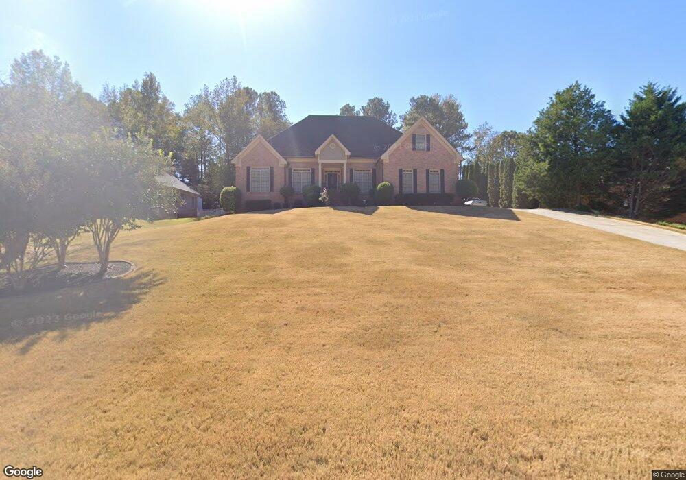
2390 Weatherstone Cir SE Unit 3 Conyers, GA 30094
Estimated Value: $400,576 - $448,000
3
Beds
4
Baths
2,816
Sq Ft
$148/Sq Ft
Est. Value
About This Home
This home is located at 2390 Weatherstone Cir SE Unit 3, Conyers, GA 30094 and is currently estimated at $415,894, approximately $147 per square foot. 2390 Weatherstone Cir SE Unit 3 is a home located in Rockdale County with nearby schools including Flat Shoals Elementary School, Edwards Middle School, and Rockdale County High School.
Ownership History
Date
Name
Owned For
Owner Type
Purchase Details
Closed on
Oct 22, 1993
Sold by
Jacor Inc
Bought by
Steele Terrence M and Steele Gigi M
Current Estimated Value
Home Financials for this Owner
Home Financials are based on the most recent Mortgage that was taken out on this home.
Original Mortgage
$161,000
Interest Rate
6.9%
Create a Home Valuation Report for This Property
The Home Valuation Report is an in-depth analysis detailing your home's value as well as a comparison with similar homes in the area
Home Values in the Area
Average Home Value in this Area
Purchase History
| Date | Buyer | Sale Price | Title Company |
|---|---|---|---|
| Steele Terrence M | $169,500 | -- |
Source: Public Records
Mortgage History
| Date | Status | Borrower | Loan Amount |
|---|---|---|---|
| Closed | Steele Terrence M | $161,000 |
Source: Public Records
Tax History Compared to Growth
Tax History
| Year | Tax Paid | Tax Assessment Tax Assessment Total Assessment is a certain percentage of the fair market value that is determined by local assessors to be the total taxable value of land and additions on the property. | Land | Improvement |
|---|---|---|---|---|
| 2024 | $3,588 | $171,320 | $30,920 | $140,400 |
| 2023 | $3,081 | $158,440 | $30,800 | $127,640 |
| 2022 | $3,159 | $132,840 | $24,960 | $107,880 |
| 2021 | $2,799 | $111,560 | $20,800 | $90,760 |
| 2020 | $2,517 | $98,240 | $17,760 | $80,480 |
| 2019 | $2,366 | $91,280 | $10,800 | $80,480 |
| 2018 | $1,917 | $76,280 | $10,800 | $65,480 |
| 2017 | $1,672 | $67,680 | $10,800 | $56,880 |
| 2016 | $1,545 | $67,680 | $10,800 | $56,880 |
| 2015 | $1,311 | $59,520 | $9,320 | $50,200 |
| 2014 | $1,121 | $57,480 | $8,000 | $49,480 |
| 2013 | -- | $85,400 | $13,600 | $71,800 |
Source: Public Records
Map
Nearby Homes
- 340 Windsor Walk SE
- Boston Plan at Millers Pointe
- Atlanta Plan at Millers Pointe
- Columbus Plan at Millers Pointe
- 2464 Lennox Rd SE
- 309 Windsor Walk SE Unit 1
- 2631 Rolling Hills Way SE
- 1420 Hillside Place SE
- 1601 Creek Crossing SE
- 2608 Downing Park Dr SE
- 2537 Lennox Rd SE
- 660 Kirkus Dr SE
- 2197 Boxwood Cir
- 2370 Ebenezer Rd SE
- 1508 Hillside Dr SE
- 784 Stieff Ct SE
- Astrid Plan at Alder Park
- Harrison Plan at Alder Park
- Baker Plan at Alder Park
- Oliver Plan at Alder Park
- 2380 Weatherstone Cir SE
- 2430 Weatherstone Cir SE Unit 3
- 2410 Danbury Ct SE
- 2370 Weatherstone Cir SE
- 2420 Danbury Ct SE
- 2400 Danbury Ct SE
- 2391 Weatherstone Cir SE
- 2401 Weatherstone Cir SE
- 2401 Weatherstone Cir SE Unit Ga1344
- 2401 Weatherstone Cir SE
- 2401 Weatherstone Cir SE Unit GA13449
- 2381 Weatherstone Cir SE
- 2430 Danbury Ct SE
- 2421 Weatherstone Cir SE Unit 3
- 2411 Weatherstone Cir SE
- 2360 Weatherstone Cir SE
- 2431 Weatherstone Cir SE Unit 3
- 2441 Weatherstone Cir SE
- 0 Danbury Ct SE Unit 7137629
- 0 Danbury Ct SE Unit 3251206