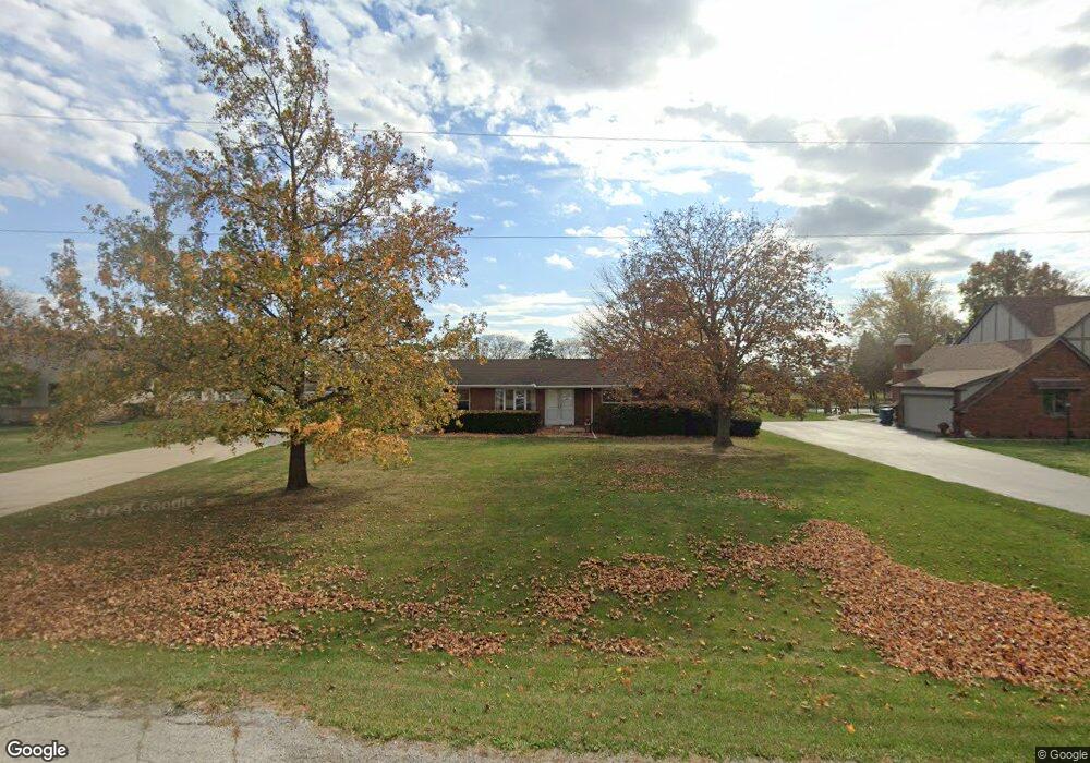
23904 W State Route 579 Curtice, OH 43412
Estimated Value: $217,897 - $330,000
3
Beds
2
Baths
1,500
Sq Ft
$178/Sq Ft
Est. Value
About This Home
This home is located at 23904 W State Route 579, Curtice, OH 43412 and is currently estimated at $267,724, approximately $178 per square foot. 23904 W State Route 579 is a home located in Ottawa County with nearby schools including Genoa Elementary School.
Ownership History
Date
Name
Owned For
Owner Type
Purchase Details
Closed on
Jun 17, 2008
Sold by
Kristie Frank M
Bought by
Collins Terrance R
Current Estimated Value
Home Financials for this Owner
Home Financials are based on the most recent Mortgage that was taken out on this home.
Original Mortgage
$102,900
Outstanding Balance
$65,997
Interest Rate
6.04%
Mortgage Type
Purchase Money Mortgage
Estimated Equity
$201,727
Purchase Details
Closed on
Mar 16, 1994
Sold by
Kristie Francis and Kristie Daisy
Bought by
Kristie Daisy A
Create a Home Valuation Report for This Property
The Home Valuation Report is an in-depth analysis detailing your home's value as well as a comparison with similar homes in the area
Home Values in the Area
Average Home Value in this Area
Purchase History
| Date | Buyer | Sale Price | Title Company |
|---|---|---|---|
| Collins Terrance R | $142,900 | Attorney | |
| Kristie Daisy A | -- | -- |
Source: Public Records
Mortgage History
| Date | Status | Borrower | Loan Amount |
|---|---|---|---|
| Open | Collins Terrance R | $102,900 |
Source: Public Records
Tax History Compared to Growth
Tax History
| Year | Tax Paid | Tax Assessment Tax Assessment Total Assessment is a certain percentage of the fair market value that is determined by local assessors to be the total taxable value of land and additions on the property. | Land | Improvement |
|---|---|---|---|---|
| 2024 | $2,178 | $58,940 | $13,930 | $45,010 |
| 2023 | $2,178 | $50,180 | $8,453 | $41,727 |
| 2022 | $2,080 | $50,180 | $8,453 | $41,727 |
| 2021 | $1,831 | $50,180 | $8,450 | $41,730 |
| 2020 | $1,923 | $50,180 | $8,450 | $41,730 |
| 2019 | $1,907 | $50,180 | $8,450 | $41,730 |
| 2018 | $1,837 | $50,180 | $8,450 | $41,730 |
| 2017 | $1,697 | $44,960 | $8,450 | $36,510 |
| 2016 | $1,703 | $44,960 | $8,450 | $36,510 |
| 2015 | $1,713 | $44,960 | $8,450 | $36,510 |
| 2014 | $790 | $44,960 | $8,450 | $36,510 |
| 2013 | $1,584 | $44,960 | $8,450 | $36,510 |
Source: Public Records
Map
Nearby Homes
- 23746 W State Route 579
- 24181 W James Ridge Rd
- 24125 W Walbridge Rd
- 6927 N Wildacre Rd
- 5555 Brown Rd
- 22059 W Bittersweet Ln
- 730 Bradner Rd
- 30246 Bradner Rd
- 4777 Williston Rd
- 29411 Mabel St
- 28940 Main St
- 3766 Lakepointe Dr
- 7330 Jerusalem Rd
- 29100 Greystone Dr
- 4303 Curtice Rd
- 28650 Cedar Ln
- 1330 Cherry St
- 23385 W Moline Martin Rd
- 0 Circle Dr Unit 21 6133022
- 4115 Frey Rd
- 23926 W State Route 579
- 23882 W State Route 579
- 23875 W State Route 579
- 23948 W State Route 579
- 6061 N Billman Rd
- 23970 W State Route 579
- 23875 Ohio 579
- 23970 579 State Hwy
- 23970 W State Route 579 State Hwy
- 23970 State Route 579 W
- 23970 579 Hwy
- 23850 W State Route 579
- 5955 N Billman Rd
- 23851 W State Route 579 W
- 6018 N Billman Rd
- 23834 W State Route 579
- 5945 N Billman Rd
- 6101 N Billman Rd
- 23812 W State Route 579
- 6151 N Billman Rd