23907 E Bluestem Dr Pleasant Hill, MO 64080
Estimated Value: $508,000 - $836,844
5
Beds
2
Baths
4,318
Sq Ft
$152/Sq Ft
Est. Value
About This Home
This home is located at 23907 E Bluestem Dr, Pleasant Hill, MO 64080 and is currently estimated at $656,615, approximately $152 per square foot. 23907 E Bluestem Dr is a home located in Cass County with nearby schools including Pleasant Hill Primary School, Pleasant Hill Elementary School, and Pleasant Hill Middle School.
Ownership History
Date
Name
Owned For
Owner Type
Purchase Details
Closed on
Apr 15, 2023
Sold by
Olsen Ian C and Olsen Rachel
Bought by
Olsen Kenneth A and Olsen Elizabeth
Current Estimated Value
Purchase Details
Closed on
Jun 12, 2007
Sold by
Mcdonald Kenneth E
Bought by
Baker Aaron T and Baker Cheryl M
Home Financials for this Owner
Home Financials are based on the most recent Mortgage that was taken out on this home.
Original Mortgage
$300,000
Interest Rate
6.15%
Mortgage Type
Construction
Create a Home Valuation Report for This Property
The Home Valuation Report is an in-depth analysis detailing your home's value as well as a comparison with similar homes in the area
Purchase History
| Date | Buyer | Sale Price | Title Company |
|---|---|---|---|
| Olsen Kenneth A | -- | Coffelt Land Title | |
| Baker Aaron T | -- | -- |
Source: Public Records
Mortgage History
| Date | Status | Borrower | Loan Amount |
|---|---|---|---|
| Previous Owner | Baker Aaron T | $300,000 |
Source: Public Records
Tax History
| Year | Tax Paid | Tax Assessment Tax Assessment Total Assessment is a certain percentage of the fair market value that is determined by local assessors to be the total taxable value of land and additions on the property. | Land | Improvement |
|---|---|---|---|---|
| 2025 | $5,585 | $105,130 | $8,240 | $96,890 |
| 2024 | $5,585 | $92,390 | $7,490 | $84,900 |
| 2023 | $5,566 | $92,390 | $7,490 | $84,900 |
| 2022 | $4,606 | $75,400 | $7,490 | $67,910 |
| 2021 | $4,455 | $75,400 | $7,490 | $67,910 |
| 2020 | $4,234 | $73,830 | $7,490 | $66,340 |
| 2019 | $4,164 | $73,830 | $7,490 | $66,340 |
| 2018 | $3,979 | $66,890 | $5,990 | $60,900 |
| 2017 | $3,176 | $66,890 | $5,990 | $60,900 |
| 2016 | $3,176 | $53,330 | $5,990 | $47,340 |
| 2015 | $3,226 | $53,330 | $5,990 | $47,340 |
| 2014 | $3,243 | $53,330 | $5,990 | $47,340 |
| 2013 | -- | $53,330 | $5,990 | $47,340 |
Source: Public Records
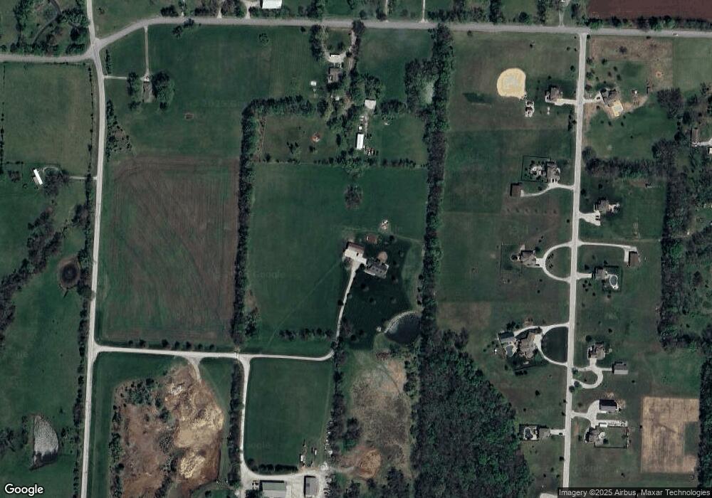
Map
Nearby Homes
- 23903 E 175th St
- 16707 S Groll Rd
- 502 N Boardman St
- 108 S Front St
- 1411 Whispering Ridge
- 10 Tomahawk Cir
- 218 N Boardman St
- 579 S Shore Dr
- 12 Omaha Cir
- Lot 8 175th St
- 2304 Valley View W
- 604 Canyon Dr
- 110 S Campbell St
- 1900 Hidden Valley Dr
- 2 Sequoyah Point
- 807 Old Stage Rd
- 900 Riffle Dr
- 0 Locust St
- 712 Locust St
- 561 S Shore Dr
- 17610 Rock Island Rd
- 17522 Rock Island Rd
- 17624 Rock Island Rd
- 23901 E 175th St
- Lot 11 Rock Island Dr
- Lot 16 Rock Island Dr
- Lot 14 Rock Island Dr
- Lot 13 Rock Island Dr
- Lot 6 Rock Island Dr
- Lot 5 Rock Island Dr
- Lot 3 Rock Island Dr
- Lot 2 Rock Island Dr
- Lot 1 Rock Island Dr
- 17615 Rock Island Rd
- 17508 Rock Island Rd
- 17714 Rock Island Rd
- 17625 Rock Island Rd
- 17807 S State Route Bb
- 17715 Rock Island Rd
- 17802 Rock Island Rd
Your Personal Tour Guide
Ask me questions while you tour the home.