2391 E Gingerbread Ln Benson, AZ 85602
Estimated Value: $389,706 - $433,000
3
Beds
3
Baths
2,162
Sq Ft
$189/Sq Ft
Est. Value
About This Home
This home is located at 2391 E Gingerbread Ln, Benson, AZ 85602 and is currently estimated at $408,427, approximately $188 per square foot. 2391 E Gingerbread Ln is a home located in Cochise County with nearby schools including St. David Elementary School and St. David High School.
Ownership History
Date
Name
Owned For
Owner Type
Purchase Details
Closed on
Dec 29, 2010
Sold by
Fannie Mae
Bought by
Bush James A
Current Estimated Value
Home Financials for this Owner
Home Financials are based on the most recent Mortgage that was taken out on this home.
Original Mortgage
$247,920
Outstanding Balance
$164,793
Interest Rate
4.34%
Mortgage Type
VA
Estimated Equity
$243,634
Purchase Details
Closed on
Jul 22, 2010
Sold by
Shipman David A and Shipman Diane E
Bought by
Federal National Mortgage Association
Purchase Details
Closed on
May 27, 2005
Sold by
Peter Daryl D and Peter Dolores S
Bought by
Shipman David A and Shipman Diane E
Home Financials for this Owner
Home Financials are based on the most recent Mortgage that was taken out on this home.
Original Mortgage
$198,500
Interest Rate
7.12%
Mortgage Type
Purchase Money Mortgage
Create a Home Valuation Report for This Property
The Home Valuation Report is an in-depth analysis detailing your home's value as well as a comparison with similar homes in the area
Purchase History
| Date | Buyer | Sale Price | Title Company |
|---|---|---|---|
| Bush James A | $240,000 | Pioneer Title Agency | |
| Federal National Mortgage Association | $193,500 | First American Title | |
| Shipman David A | -- | Pioneer Title Agency |
Source: Public Records
Mortgage History
| Date | Status | Borrower | Loan Amount |
|---|---|---|---|
| Open | Bush James A | $247,920 | |
| Previous Owner | Shipman David A | $198,500 |
Source: Public Records
Tax History
| Year | Tax Paid | Tax Assessment Tax Assessment Total Assessment is a certain percentage of the fair market value that is determined by local assessors to be the total taxable value of land and additions on the property. | Land | Improvement |
|---|---|---|---|---|
| 2025 | $2,054 | $29,233 | $2,388 | $26,845 |
| 2024 | $2,054 | $29,192 | $2,388 | $26,804 |
| 2023 | $2,042 | $24,825 | $2,388 | $22,437 |
| 2022 | $1,754 | $21,428 | $2,388 | $19,040 |
| 2021 | $1,795 | $19,591 | $2,388 | $17,203 |
| 2020 | $1,825 | $0 | $0 | $0 |
| 2019 | $1,770 | $0 | $0 | $0 |
| 2018 | $1,725 | $0 | $0 | $0 |
| 2017 | $1,717 | $0 | $0 | $0 |
| 2016 | $1,851 | $0 | $0 | $0 |
| 2015 | -- | $0 | $0 | $0 |
Source: Public Records
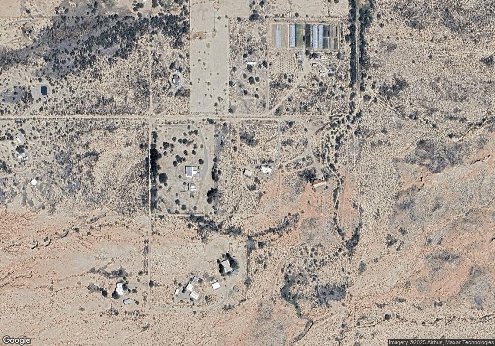
Map
Nearby Homes
- 9.93 ac E Taylor Pass
- 0 S Lonesome Rd Unit 22605135
- 9.93 ac S Lonesome Rd
- 0 N Jacobs Rd Unit 22602536
- TBD N Country Way 6 88 Acres --
- 806 N Mesquite Dr
- 311 N Saddle Vista Rd
- 327 W Corral Dr
- 1624 E Benson Airport Rd
- 1627 E Goldenrod Ln
- TBD N Jacobs Rd
- TBD N Sibyl Rd
- Tbd Weigand-Pratt Rd
- 45 W Fenn Ln
- 419 N Miller Ln
- 0 N Sibyl Rd Unit 22605142
- 1778 E Ramsey Rd
- 1577 E Gambel Way
- 0 E Dragoon Valley Rd
- TBD E Benson Airport Rd Unit E
- 2407 E Gingerbread Ln
- 2385 E Gingerbread Ln
- 2332 E Gingerbread Ln
- 1203 S Emu Ave
- 2404 E Gingerbread Ln
- 2380 E Gingerbread Ln
- 0 E Gingerbread Ln Unit 20801404
- 0 E Gingerbread Ln Unit 20801388
- 0 E Gingerbread Ln Unit 20927705
- 0 E Gingerbread Ln Unit 20927710
- 0 E Gingerbread Ln Unit 21208607
- 0 E Gingerbread Ln Unit 21208605
- 0 E Gingerbread Ln Unit 21505317
- 0 E Gingerbread Ln Unit 21605546
- 0 E Gingerbread Ln Unit 21222454
- 0 E Gingerbread Ln Unit 21223460
- 0 E Gingerbread Ln Unit 21403715
- 0 S Emu Ave Unit 20918395
- 0 S Emu Ave Unit 20918242
- 0 S Emu Ave Unit 20838688
Your Personal Tour Guide
Ask me questions while you tour the home.