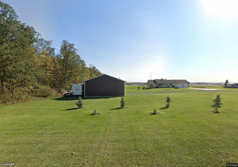
2392 Saint Joe Rd Fort Recovery, OH 45846
Estimated Value: $211,000 - $387,732
3
Beds
3
Baths
1,600
Sq Ft
$194/Sq Ft
Est. Value
About This Home
This home is located at 2392 Saint Joe Rd, Fort Recovery, OH 45846 and is currently estimated at $310,933, approximately $194 per square foot. 2392 Saint Joe Rd is a home located in Mercer County with nearby schools including Fort Recovery Elementary School, Fort Recovery Middle School, and Fort Recovery High School.
Ownership History
Date
Name
Owned For
Owner Type
Purchase Details
Closed on
Aug 30, 2012
Sold by
Lauber Robert J and Knapke Kelly M
Bought by
Lauber Robert J and Lauber Kelly M
Current Estimated Value
Home Financials for this Owner
Home Financials are based on the most recent Mortgage that was taken out on this home.
Original Mortgage
$172,975
Interest Rate
3.5%
Mortgage Type
FHA
Create a Home Valuation Report for This Property
The Home Valuation Report is an in-depth analysis detailing your home's value as well as a comparison with similar homes in the area
Home Values in the Area
Average Home Value in this Area
Purchase History
| Date | Buyer | Sale Price | Title Company |
|---|---|---|---|
| Lauber Robert J | -- | Attorney |
Source: Public Records
Mortgage History
| Date | Status | Borrower | Loan Amount |
|---|---|---|---|
| Closed | Lauber Robert J | $172,975 |
Source: Public Records
Tax History Compared to Growth
Tax History
| Year | Tax Paid | Tax Assessment Tax Assessment Total Assessment is a certain percentage of the fair market value that is determined by local assessors to be the total taxable value of land and additions on the property. | Land | Improvement |
|---|---|---|---|---|
| 2024 | $2,943 | $104,900 | $15,300 | $89,600 |
| 2023 | $2,943 | $104,900 | $15,300 | $89,600 |
| 2022 | $2,733 | $87,860 | $10,050 | $77,810 |
| 2021 | $2,742 | $87,300 | $10,050 | $77,250 |
| 2020 | $2,736 | $87,300 | $10,050 | $77,250 |
| 2019 | $2,291 | $70,250 | $8,440 | $61,810 |
| 2018 | $2,374 | $70,250 | $8,440 | $61,810 |
| 2017 | $2,193 | $70,250 | $8,440 | $61,810 |
| 2016 | $1,995 | $60,070 | $8,720 | $51,350 |
| 2015 | $1,914 | $60,070 | $8,720 | $51,350 |
| 2014 | $1,946 | $60,070 | $8,720 | $51,350 |
| 2013 | $1,723 | $58,000 | $7,910 | $50,090 |
Source: Public Records
Map
Nearby Homes
- 304 S Wayne St
- 207 W Butler St
- 201 W Wiggs St
- 1291 State Route 219
- 0 Ohio 118
- 4543 Lange Rd
- 820 Mary Ln
- 401 N Cedar St
- 420 S 1st St
- 912 Emerald Ave
- 821 Butler St
- 426 E Walnut St
- 314 E North St
- 501 N 2nd St
- 402 E Elizabeth St
- 721 Lilac Dr
- 4475 Ohio 705
- 2332 State Route 29
- 6699 Gause Rd
- 0 Anderson Lots 10 11 & 12 Ln Unit 1037885
- 2368 Saint Joe Rd
- 2383 Saint Joe Rd
- 2445 Saint Joe Rd
- 2707 Erastus Durbin Rd
- 2470 Saint Joe Rd
- 2693 Erastus Durbin Rd
- 2725 Erastus Durbin Rd
- 2489 Saint Joe Rd
- 2250 Saint Joe Rd
- 2509 Erastus Durbin Rd
- 2420 State Route 119
- 2310 State Route 119
- 2416 State Route 119
- 2096 Saint Joe Rd
- 2938 Erastus Durbin Rd
- 0 State Route 49 Unit 1030400
- 0 Fairlane Unit 282360
- 111 Natures Ct Unit 111
- 0 N Wayne Unit 330833
- 0 Fairlane Unit 346590