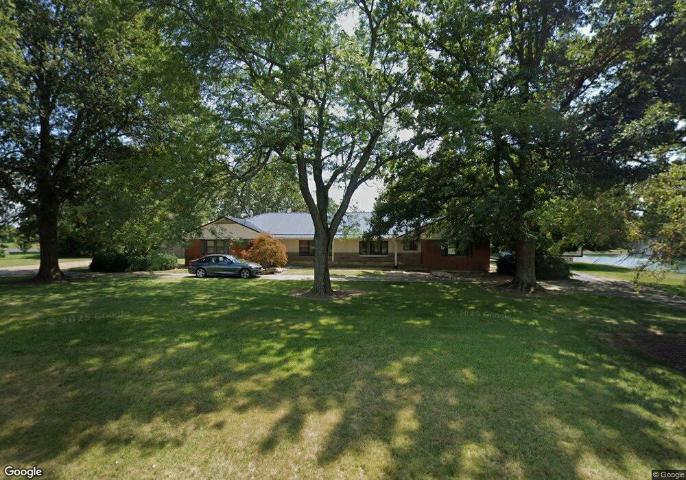
2393 Mount Zion Rd Bucyrus, OH 44820
Estimated Value: $326,521 - $402,000
3
Beds
4
Baths
2,342
Sq Ft
$155/Sq Ft
Est. Value
About This Home
This home is located at 2393 Mount Zion Rd, Bucyrus, OH 44820 and is currently estimated at $362,380, approximately $154 per square foot. 2393 Mount Zion Rd is a home located in Crawford County with nearby schools including Wynford Elementary School, Wynford High School, and CENTER FOR AUTISM / DYSLEXIA - BUCYRUS.
Ownership History
Date
Name
Owned For
Owner Type
Purchase Details
Closed on
Oct 11, 2019
Sold by
Mccune Brian and Mccune Kelli
Bought by
Sexton Dwight and Sexton Christine
Current Estimated Value
Purchase Details
Closed on
Oct 1, 2019
Sold by
Sexton Dwight and Sexton Christine
Bought by
Mccune Brian and Mccune Kelli
Purchase Details
Closed on
May 16, 2008
Sold by
Alspet Kennith R
Bought by
Sexton Dwight and Sexton Christine
Home Financials for this Owner
Home Financials are based on the most recent Mortgage that was taken out on this home.
Original Mortgage
$161,600
Interest Rate
5.93%
Mortgage Type
New Conventional
Purchase Details
Closed on
Jul 8, 2002
Bought by
Alsept Kenneth R
Create a Home Valuation Report for This Property
The Home Valuation Report is an in-depth analysis detailing your home's value as well as a comparison with similar homes in the area
Home Values in the Area
Average Home Value in this Area
Purchase History
| Date | Buyer | Sale Price | Title Company |
|---|---|---|---|
| Sexton Dwight | $215,000 | Acs Title Bucyrus | |
| Mccune Brian | $225,000 | Acs Title Bucyrus | |
| Sexton Dwight | $202,000 | -- | |
| Alsept Kenneth R | -- | -- |
Source: Public Records
Mortgage History
| Date | Status | Borrower | Loan Amount |
|---|---|---|---|
| Previous Owner | Sexton Dwight | $161,600 |
Source: Public Records
Tax History Compared to Growth
Tax History
| Year | Tax Paid | Tax Assessment Tax Assessment Total Assessment is a certain percentage of the fair market value that is determined by local assessors to be the total taxable value of land and additions on the property. | Land | Improvement |
|---|---|---|---|---|
| 2024 | $4,100 | $108,230 | $5,160 | $103,070 |
| 2023 | $4,100 | $74,620 | $4,230 | $70,390 |
| 2022 | $3,399 | $74,620 | $4,230 | $70,390 |
| 2021 | $3,647 | $74,620 | $4,230 | $70,390 |
| 2020 | $2,549 | $56,280 | $4,230 | $52,050 |
| 2019 | $2,621 | $56,280 | $4,230 | $52,050 |
| 2018 | $2,679 | $56,280 | $4,230 | $52,050 |
| 2017 | $2,035 | $43,410 | $4,230 | $39,180 |
| 2016 | $1,702 | $43,410 | $4,230 | $39,180 |
| 2015 | $1,727 | $43,410 | $4,230 | $39,180 |
| 2014 | $2,010 | $46,350 | $4,230 | $42,120 |
| 2013 | $2,010 | $46,350 | $4,230 | $42,120 |
Source: Public Records
Map
Nearby Homes
- 1315 Lynne Ave
- 1123 Hillcrest Dr
- 0 Lynne Ave
- 2440 Wyandot Rd
- 1112 Hillcrest Dr
- 1149 Farmview Dr
- 1145 Lynne Ave
- 452 Pleasant Ln
- 275 Brentwood St
- 130 Brentwood St
- 182 Williams St
- 1211 S Sandusky Ave
- 1021 S Sandusky Ave
- 900 S Spring St
- 2273 Kerstetter Rd
- 318 Charlotte St
- 325 W Liberty St
- 708 S Sandusky Ave
- 419 Short St
- 583 Rogers St
- 2411 Mount Zion Rd
- 2365 Mount Zion Rd
- 2435 Mount Zion Rd
- 2037 Ohio 4
- 2030 State Route 4
- 2344 Mount Zion Rd
- 1963 State Route 4
- 2061 Ohio 4
- 2071 State Route 4
- 2572 Mt Zion Rd
- 1930 State Route 4
- 2097 Ohio 4
- 2097 State Route 4
- 2543 Mount Zion Rd
- 2140 Krauter Rd
- 2572 Mount Zion Rd
- 2215 Mount Zion Rd
- 1875 State Route 4
- 2202 Mount Zion Rd
- 2176 Mount Zion Rd