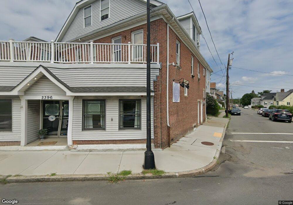
2394 Acushnet Ave Unit 2396 New Bedford, MA 02745
Acushnet-Pine Hill NeighborhoodEstimated Value: $358,644
5
Beds
3
Baths
4,108
Sq Ft
$87/Sq Ft
Est. Value
About This Home
This home is located at 2394 Acushnet Ave Unit 2396, New Bedford, MA 02745 and is currently estimated at $358,644, approximately $87 per square foot. 2394 Acushnet Ave Unit 2396 is a home located in Bristol County with nearby schools including Jireh Swift School, Normandin Middle School, and New Bedford High School.
Ownership History
Date
Name
Owned For
Owner Type
Purchase Details
Closed on
Jul 26, 2002
Sold by
Landry Marie A
Bought by
Nadeau Jody M
Current Estimated Value
Home Financials for this Owner
Home Financials are based on the most recent Mortgage that was taken out on this home.
Original Mortgage
$82,000
Outstanding Balance
$35,144
Interest Rate
6.73%
Mortgage Type
Commercial
Estimated Equity
$323,500
Create a Home Valuation Report for This Property
The Home Valuation Report is an in-depth analysis detailing your home's value as well as a comparison with similar homes in the area
Home Values in the Area
Average Home Value in this Area
Purchase History
| Date | Buyer | Sale Price | Title Company |
|---|---|---|---|
| Nadeau Jody M | $135,500 | -- | |
| Nadeau Jody M | $135,500 | -- |
Source: Public Records
Mortgage History
| Date | Status | Borrower | Loan Amount |
|---|---|---|---|
| Open | Nadeau Jody M | $82,000 | |
| Closed | Nadeau Jody M | $82,000 |
Source: Public Records
Tax History Compared to Growth
Tax History
| Year | Tax Paid | Tax Assessment Tax Assessment Total Assessment is a certain percentage of the fair market value that is determined by local assessors to be the total taxable value of land and additions on the property. | Land | Improvement |
|---|---|---|---|---|
| 2025 | -- | $494,000 | $134,800 | $359,200 |
| 2024 | -- | $471,200 | $134,800 | $336,400 |
| 2023 | $0 | $424,700 | $112,300 | $312,400 |
| 2022 | $0 | $355,900 | $107,100 | $248,800 |
| 2021 | $0 | $314,800 | $101,800 | $213,000 |
| 2020 | $7,897 | $308,800 | $101,800 | $207,000 |
| 2019 | $7,663 | $313,800 | $101,800 | $212,000 |
| 2018 | $0 | $299,500 | $98,300 | $201,200 |
| 2017 | -- | $295,300 | $98,300 | $197,000 |
| 2016 | -- | $302,600 | $101,800 | $200,800 |
| 2015 | -- | $302,600 | $101,800 | $200,800 |
| 2014 | -- | $313,200 | $101,800 | $211,400 |
Source: Public Records
Map
Nearby Homes
- 65 Armsby St
- 187 Tarkiln Hill Rd
- 6 Illinois St
- 6 Middlefield Place
- 9 Middlefield Place
- 4 Tisbury St
- 263 Hersom St
- 506 Hawes St
- 400 Oliver St
- 11 Moynan St
- 398 Brockton St
- 11 Saucier St
- 0 Church Dutton & Chaffee Unit 73371719
- 27 Jean St
- 683 Church St
- 957 Glen St
- 1044 Victoria St Unit B-29
- 203 S Main St
- 23 Rock St
- 22 Rock St
- 2394 Acushnet Ave Unit store front
- 2402 Acushnet Ave
- 991 Homestead St
- 11 Ball St
- 2408 Acushnet Ave
- 2380 Acushnet Ave Unit 2382
- 2389 Acushnet Ave Unit 2393
- 987 Homestead St Unit 989
- 17 Ball St
- 10 Ball St
- 2405 Acushnet Ave
- 2416 Acushnet Ave
- 14 Ball St
- 982 Homestead St
- 2381 Acushnet Ave
- 2374 Acushnet Ave Unit 2376
- 2409 Acushnet Ave
- 25 Morris St
- 979 Homestead St
- 997 Lloyd St