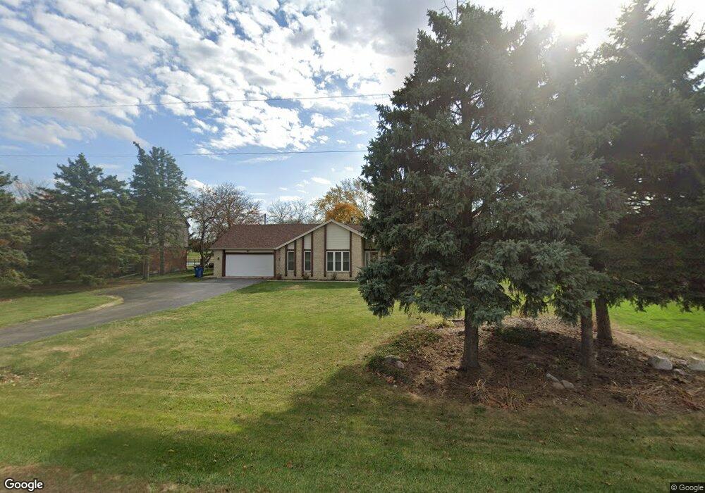
23948 W State Route 579 Curtice, OH 43412
Estimated Value: $302,000 - $340,000
3
Beds
2
Baths
2,054
Sq Ft
$157/Sq Ft
Est. Value
About This Home
This home is located at 23948 W State Route 579, Curtice, OH 43412 and is currently estimated at $322,540, approximately $157 per square foot. 23948 W State Route 579 is a home located in Ottawa County with nearby schools including Genoa Elementary School.
Ownership History
Date
Name
Owned For
Owner Type
Purchase Details
Closed on
Feb 1, 1993
Sold by
Foss James and Foss Elaine S
Bought by
Welsh Lawrence A and Welsh Christie M
Current Estimated Value
Create a Home Valuation Report for This Property
The Home Valuation Report is an in-depth analysis detailing your home's value as well as a comparison with similar homes in the area
Home Values in the Area
Average Home Value in this Area
Purchase History
| Date | Buyer | Sale Price | Title Company |
|---|---|---|---|
| Welsh Lawrence A | $16,000 | -- |
Source: Public Records
Tax History Compared to Growth
Tax History
| Year | Tax Paid | Tax Assessment Tax Assessment Total Assessment is a certain percentage of the fair market value that is determined by local assessors to be the total taxable value of land and additions on the property. | Land | Improvement |
|---|---|---|---|---|
| 2024 | $3,392 | $86,282 | $13,930 | $72,352 |
| 2023 | $3,392 | $73,200 | $8,453 | $64,747 |
| 2022 | $3,237 | $73,200 | $8,453 | $64,747 |
| 2021 | $2,849 | $73,190 | $8,450 | $64,740 |
| 2020 | $2,993 | $73,190 | $8,450 | $64,740 |
| 2019 | $2,968 | $73,190 | $8,450 | $64,740 |
| 2018 | $2,858 | $73,190 | $8,450 | $64,740 |
| 2017 | $2,603 | $64,280 | $8,450 | $55,830 |
| 2016 | $2,613 | $64,280 | $8,450 | $55,830 |
| 2015 | $2,629 | $64,280 | $8,450 | $55,830 |
| 2014 | $1,403 | $64,280 | $8,450 | $55,830 |
| 2013 | $2,815 | $64,280 | $8,450 | $55,830 |
Source: Public Records
Map
Nearby Homes
- 24181 W James Ridge Rd
- 5300 Williston Rd
- 6927 N Wildacre Rd
- 730 Bradner Rd
- 4777 Williston Rd
- 29453 Harriet St
- 1524 Red Bud Dr
- 5401 Pickle Rd
- 29411 Mabel St
- 1642 Woodville Rd
- 29118 Millbury Rd
- 5101 Wynn Park Dr
- 3716 Lakepointe Dr Unit D
- 7330 Jerusalem Rd
- 4303 Williston Rd
- 21224 W Toledo St
- 28955 Bradner Rd
- 121 W Bridge Rd
- 119 W Bridge Rd
- 2504 Eden East Dr
- 23926 W State Route 579
- 23970 W State Route 579
- 23970 579 State Hwy
- 23970 W State Route 579 State Hwy
- 23970 State Route 579 W
- 23970 579 Hwy
- 23904 W State Route 579
- 6061 N Billman Rd
- 5955 N Billman Rd
- 6018 N Billman Rd
- 23882 W State Route 579
- 5945 N Billman Rd
- 23875 W State Route 579
- 23875 Ohio 579
- 23850 W State Route 579
- 23851 W State Route 579 W
- 6101 N Billman Rd
- 23834 Ohio 579
- 23834 W State Route 579
- 23812 W State Route 579