2395 Summit Cedar Dr Unit 87 Howell, MI 48855
Estimated Value: $318,866 - $342,000
3
Beds
2
Baths
1,366
Sq Ft
$244/Sq Ft
Est. Value
About This Home
This home is located at 2395 Summit Cedar Dr Unit 87, Howell, MI 48855 and is currently estimated at $332,717, approximately $243 per square foot. 2395 Summit Cedar Dr Unit 87 is a home located in Livingston County with nearby schools including Ruahmah J. Hutchings Elementary, Parker Middle School, and Howell High School.
Ownership History
Date
Name
Owned For
Owner Type
Purchase Details
Closed on
Jun 26, 2015
Sold by
Bradley Edward A and Bradley Traci L
Bought by
Ulstad Samuel J and Ulstad Julia R
Current Estimated Value
Purchase Details
Closed on
Jul 23, 2001
Sold by
Sullivan Brough Inc
Bought by
Bradley Edward A and Bradley Traci L
Home Financials for this Owner
Home Financials are based on the most recent Mortgage that was taken out on this home.
Original Mortgage
$166,250
Interest Rate
7.15%
Purchase Details
Closed on
Dec 4, 2000
Sold by
Farmer Jerry and Farmer Maureen
Bought by
Sullivan Brough Inc
Purchase Details
Closed on
Jun 2, 2000
Sold by
Gd Communities Llc
Bought by
Kletzka Carol A
Create a Home Valuation Report for This Property
The Home Valuation Report is an in-depth analysis detailing your home's value as well as a comparison with similar homes in the area
Home Values in the Area
Average Home Value in this Area
Purchase History
| Date | Buyer | Sale Price | Title Company |
|---|---|---|---|
| Ulstad Samuel J | $200,000 | Liberty Title Agency | |
| Bradley Edward A | $175,000 | American Title Co | |
| Sullivan Brough Inc | $181,000 | American Title Co | |
| Kletzka Carol A | $159,890 | Metropolitan Title Company |
Source: Public Records
Mortgage History
| Date | Status | Borrower | Loan Amount |
|---|---|---|---|
| Previous Owner | Bradley Edward A | $166,250 |
Source: Public Records
Tax History
| Year | Tax Paid | Tax Assessment Tax Assessment Total Assessment is a certain percentage of the fair market value that is determined by local assessors to be the total taxable value of land and additions on the property. | Land | Improvement |
|---|---|---|---|---|
| 2025 | $1,631 | $145,100 | $0 | $0 |
| 2024 | $1,584 | $141,200 | $0 | $0 |
| 2023 | $1,513 | $127,300 | $0 | $0 |
| 2022 | $696 | $105,700 | $0 | $0 |
| 2021 | $2,097 | $111,500 | $0 | $0 |
| 2020 | $2,120 | $105,700 | $0 | $0 |
| 2019 | $2,090 | $96,300 | $0 | $0 |
| 2018 | $2,065 | $89,600 | $0 | $0 |
| 2017 | $2,038 | $86,900 | $0 | $0 |
| 2016 | $2,026 | $83,600 | $0 | $0 |
| 2014 | $1,890 | $70,400 | $0 | $0 |
| 2012 | $1,890 | $65,200 | $0 | $0 |
Source: Public Records
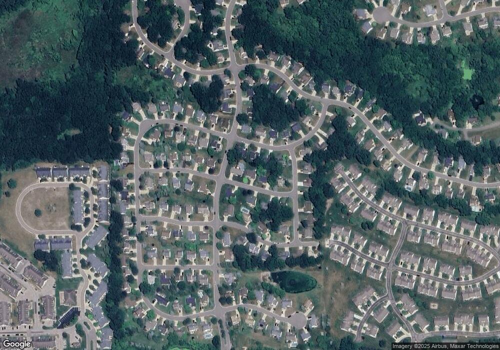
Map
Nearby Homes
- 2430 Hickory Circle Dr Unit 103
- 2511 Kerria Dr Unit 42
- 1570 Princewood Blvd
- 2643 Kerria Dr Unit 65
- 1420 Butler Blvd
- 1315 Central Ave
- 2830 Bonny Brook Dr Unit 3
- VACANT LOT Thompson Shore Dr
- Lot 1 of Lockes St
- Lot 3 of Lockes St
- 0 Eager Unit 293099
- 487 Cannonade Loop
- 559 Cannonade Loop
- 499 Cannonade Loop
- 475 Cannonade Loop
- The Austin Plan at Broadmoor
- The Charlotte Plan at Broadmoor
- The Harrison Plan at Broadmoor
- The Bloomington Plan at Broadmoor
- The Columbia Plan at Broadmoor
- 2405 Summit Cedar Dr
- 2389 Summit Cedar Dr
- 2474 Hickory Circle Dr Unit 97
- 2478 Hickory Circle Dr Unit Bldg-Unit
- 2478 Hickory Circle Dr
- 2466 Hickory Circle Dr Unit 98
- 2400 Summit Cedar Dr
- 2388 Summit Cedar Dr
- 2413 Summit Cedar Dr Unit 89
- 0 Hickory Circle Dr
- Parcel G2 Hickory Circle Dr
- 2484 Hickory Circle Dr
- 2410 Summit Cedar Dr Unit 69
- 2381 Summit Cedar Dr Unit 85
- 2473 Hickory Circle Dr Unit 117
- 1688 Hickory Hills Blvd Unit 33
- 2389 Chestnut Bend
- 2454 Hickory Circle Dr
- 2467 Hickory Circle Dr
- 2479 Hickory Circle Dr
Your Personal Tour Guide
Ask me questions while you tour the home.