23960 Walnut Point Rd Chestertown, MD 21620
Estimated Value: $846,000 - $1,190,000
Studio
2
Baths
2,952
Sq Ft
$361/Sq Ft
Est. Value
About This Home
This home is located at 23960 Walnut Point Rd, Chestertown, MD 21620 and is currently estimated at $1,065,929, approximately $361 per square foot. 23960 Walnut Point Rd is a home located in Kent County with nearby schools including Kent County Middle School and Kent County High School.
Ownership History
Date
Name
Owned For
Owner Type
Purchase Details
Closed on
Oct 1, 2019
Sold by
Woolever Scott and Woolever Elizabeth A S
Bought by
Woolever Scott and Woolever Elizabeth A S
Current Estimated Value
Purchase Details
Closed on
May 21, 2007
Sold by
Woolever Scott and Woolever Elizabeth A
Bought by
Woolever Scott and Woolever Elizabeth A
Purchase Details
Closed on
May 17, 2007
Sold by
Woolever Scott and Woolever Elizabeth A
Bought by
Woolever Scott and Woolever Elizabeth A
Create a Home Valuation Report for This Property
The Home Valuation Report is an in-depth analysis detailing your home's value as well as a comparison with similar homes in the area
Purchase History
| Date | Buyer | Sale Price | Title Company |
|---|---|---|---|
| Woolever Scott | -- | None Available | |
| Woolever Scott | -- | -- | |
| Woolever Scott | -- | -- |
Source: Public Records
Tax History
| Year | Tax Paid | Tax Assessment Tax Assessment Total Assessment is a certain percentage of the fair market value that is determined by local assessors to be the total taxable value of land and additions on the property. | Land | Improvement |
|---|---|---|---|---|
| 2025 | $10,977 | $957,400 | $645,200 | $312,200 |
| 2024 | $10,743 | $936,800 | $0 | $0 |
| 2023 | $10,510 | $916,200 | $0 | $0 |
| 2022 | $10,187 | $895,600 | $645,200 | $250,400 |
| 2021 | $9,745 | $893,733 | $0 | $0 |
| 2020 | $9,745 | $891,867 | $0 | $0 |
| 2019 | $9,369 | $890,000 | $645,200 | $244,800 |
| 2018 | $9,020 | $890,000 | $645,200 | $244,800 |
| 2017 | $8,689 | $890,000 | $0 | $0 |
| 2016 | -- | $801,300 | $0 | $0 |
| 2015 | $5,734 | $801,300 | $0 | $0 |
| 2014 | $5,734 | $801,300 | $0 | $0 |
Source: Public Records
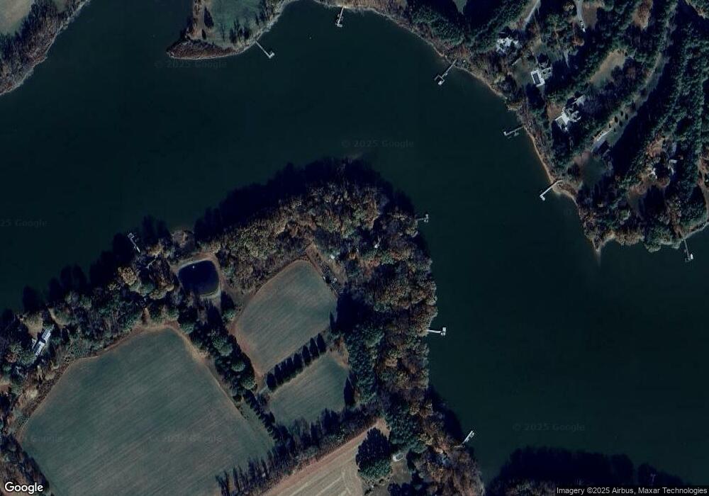
Map
Nearby Homes
- 6746 Quaker Neck Rd
- 24775 Langford Rd
- 0 Johnsontown Rd
- 22537 Shipyard Ln
- 8276 Broad Neck Rd
- 22681 Wood Yard Ln
- 7224 Rock Hall Rd
- 7844 Chester Ct
- 6416 Edesville Rd
- 6374 Rock Hall Rd
- 5135 Crosby Rd
- 7989 Quaker Neck Rd
- 23055 Old Fairlee Rd
- 104 Landing Ln
- 106 Landing Ln
- 37 Landing Ln
- 35 Landing Ln
- 25 Landing Ln
- 103 Landing Ln
- 36 Landing Ln
- 23956 Walnut Point Rd
- 23952 Walnut Point Rd
- 6669 Belle Grove Ln
- 6880 Pentridge Ln
- 6890 Pentridge Ln
- 6900 Pentridge Ln
- 6870 Pentridge Ct
- 6621 Belle Grove Ln
- 6860 Pentridge Ct
- 6960 Pentridge Ln
- 6920 Pentridge Ln
- 23948 Walnut Point Rd
- 6858 Pentridge Ct
- 6316 Quaker Neck Rd
- 6852 Pentridge Ct
- 23963 Walnut Point Rd
- 6853 Pentridge Ct
- 6885 Pentridge Ln
- 6854 Pentridge Ct
- 6991 Pentridge Ln
Your Personal Tour Guide
Ask me questions while you tour the home.