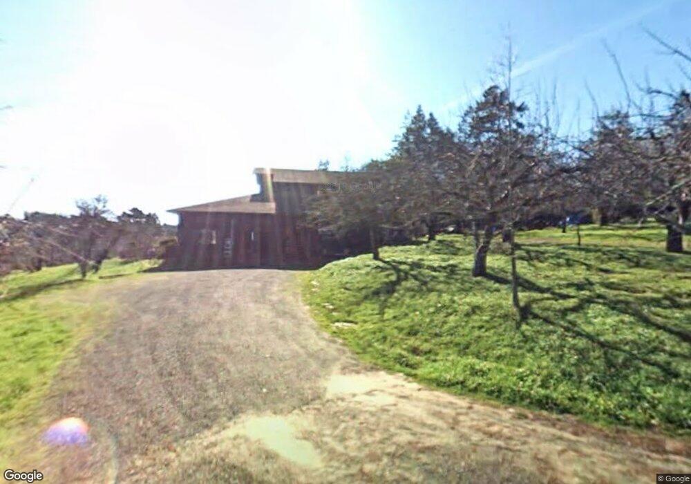
2397 Burnside Rd Sebastopol, CA 95472
Estimated Value: $1,165,000 - $1,564,000
About This Home
This home is located at 2397 Burnside Rd, Sebastopol, CA 95472 and is currently estimated at $1,312,547, approximately $722 per square foot. 2397 Burnside Rd is a home located in Sonoma County with nearby schools including Apple Blossom School, Analy High School, and Twin Hills Charter Middle School.
Ownership History
We collect this data history from publicly available records. To have your information removed, we recommend requesting removal directly through your county’s website.
Purchase Details
Home Financials for this Owner
Home Financials are based on the most recent Mortgage that was taken out on this home.Purchase Details
Purchase History
We collect this data history from publicly available records. To have your information removed, we recommend requesting removal directly through your county’s website.
| Date | Buyer | Sale Price | Title Company |
|---|---|---|---|
| -- | Fidelity National Title Co | ||
| -- | Fidelity National Title Co | ||
| -- | -- |
Mortgage History
We collect this data history from publicly available records. To have your information removed, we recommend requesting removal directly through your county’s website.
| Date | Status | Borrower | Loan Amount |
|---|---|---|---|
| Open | $410,000 |
Tax History
We collect this data history from publicly available records. To have your information removed, we recommend requesting removal directly through your county’s website.
| Year | Tax Paid | Tax Assessment Tax Assessment Total Assessment is a certain percentage of the fair market value that is determined by local assessors to be the total taxable value of land and additions on the property. | Land | Improvement |
|---|---|---|---|---|
| 2025 | $10,899 | $321,380 | $136,543 | $184,837 |
| 2024 | $3,946 | $315,079 | $133,866 | $181,213 |
| 2023 | $3,946 | $308,902 | $131,242 | $177,660 |
| 2022 | $3,767 | $302,846 | $128,669 | $174,177 |
| 2021 | $3,703 | $296,909 | $126,147 | $170,762 |
| 2020 | $3,749 | $293,866 | $124,854 | $169,012 |
| 2019 | $3,456 | $288,105 | $122,406 | $165,699 |
| 2018 | $3,402 | $282,456 | $120,006 | $162,450 |
| 2017 | $3,258 | $276,918 | $117,653 | $159,265 |
| 2016 | $3,200 | $271,490 | $115,347 | $156,143 |
| 2015 | $3,099 | $267,413 | $113,615 | $153,798 |
| 2014 | $3,039 | $262,176 | $111,390 | $150,786 |
Map
- 2930 Thorn Rd
- 1607 W Sexton Rd
- 431 Sexton Rd
- 2087 Blucher Valley Rd
- 8174 Whited Rd
- 0 Bodega Hwy
- 189 Wagnon Rd
- 805 Wagnon Rd
- 237 Gold Ridge Rd
- 8135 Valentine Ave
- 691 Ferguson Rd
- 7350 Fircrest Ave
- 455 Sequoia Ln
- 760 Belglen Way
- 7607 Washington Ave
- 7580 Washington Ave
- 9275 Ferguson Ct
- 7149 Lynch Rd
- 3006 Bloomfield Rd
- 539 Norlee St
- 2750 Burnside Rd
- 2395 Burnside Rd
- 2401 Burnside Rd
- 2407 Burnside Rd
- 2399 Burnside Rd
- 2413 Burnside Rd
- 2417 Burnside Rd
- 2835 Lynn Rd
- 2393 Burnside Rd
- 1478 Darby Rd
- 2825 Lynn Rd
- 2839 Lynn Rd
- 1470 Darby Rd
- 9570 Barnett Valley Rd
- 1462 Darby Rd
- 1464 Darby Rd
- 2838 Lynn Rd
- 1520 Darby Rd
- 1418 Darby Rd
- 2848 Lynn Rd
Ask me questions while you tour the home.