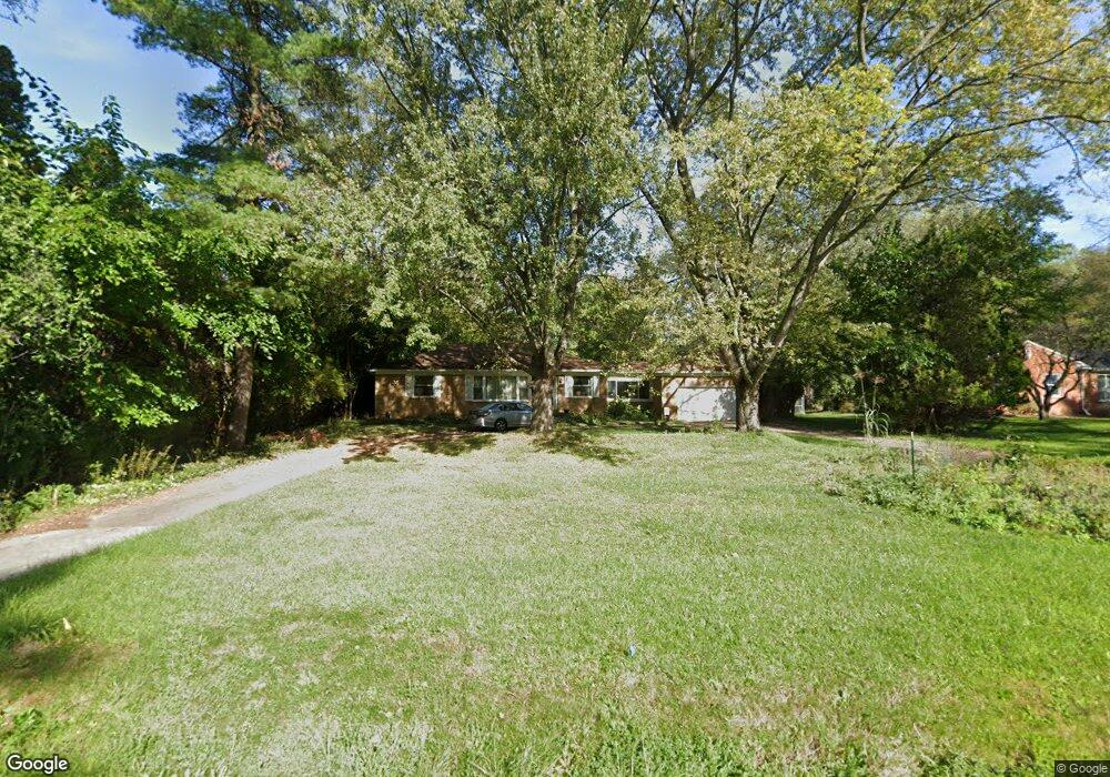
23976 Lee Baker Dr Unit Bldg-Unit Southfield, MI 48075
Estimated Value: $244,000 - $262,000
2
Beds
2
Baths
1,288
Sq Ft
$197/Sq Ft
Est. Value
About This Home
This home is located at 23976 Lee Baker Dr Unit Bldg-Unit, Southfield, MI 48075 and is currently estimated at $253,129, approximately $196 per square foot. 23976 Lee Baker Dr Unit Bldg-Unit is a home located in Oakland County with nearby schools including Morris Adler Elementary School, Glenn W. Levey Middle School, and Dr. Joseph F. Pollack Academic Center Of Excellence.
Ownership History
Date
Name
Owned For
Owner Type
Purchase Details
Closed on
Mar 19, 2018
Sold by
Zoner Brian
Bought by
Stratton Robert and Rouan Sarah
Current Estimated Value
Home Financials for this Owner
Home Financials are based on the most recent Mortgage that was taken out on this home.
Original Mortgage
$140,600
Outstanding Balance
$120,311
Interest Rate
4.32%
Mortgage Type
New Conventional
Estimated Equity
$132,818
Purchase Details
Closed on
Apr 11, 2008
Sold by
The Daniel E Specht Trust
Bought by
Zoner Brian
Purchase Details
Closed on
Oct 1, 2004
Sold by
Specht Daniel E
Bought by
Specht Daniel E and Daniel E Specht Trust
Purchase Details
Closed on
Mar 5, 2003
Sold by
Franklin Credit Management Corp
Bought by
Specht Daniel E
Purchase Details
Closed on
Jul 23, 2002
Sold by
Loyd Katherine J
Bought by
Franklin Credit Mgmt Corp
Create a Home Valuation Report for This Property
The Home Valuation Report is an in-depth analysis detailing your home's value as well as a comparison with similar homes in the area
Home Values in the Area
Average Home Value in this Area
Purchase History
| Date | Buyer | Sale Price | Title Company |
|---|---|---|---|
| Stratton Robert | $153,000 | None Available | |
| Zoner Brian | $130,000 | Cbs Title | |
| Specht Daniel E | -- | -- | |
| Specht Daniel E | $85,000 | Wolverine State Title Inc | |
| Franklin Credit Mgmt Corp | $130,500 | -- |
Source: Public Records
Mortgage History
| Date | Status | Borrower | Loan Amount |
|---|---|---|---|
| Open | Stratton Robert | $140,600 |
Source: Public Records
Tax History Compared to Growth
Tax History
| Year | Tax Paid | Tax Assessment Tax Assessment Total Assessment is a certain percentage of the fair market value that is determined by local assessors to be the total taxable value of land and additions on the property. | Land | Improvement |
|---|---|---|---|---|
| 2022 | $4,748 | $93,010 | $20,540 | $72,470 |
| 2021 | $4,508 | $87,400 | $19,190 | $68,210 |
| 2020 | $3,920 | $74,150 | $16,690 | $57,460 |
| 2018 | $3,062 | $61,880 | $16,520 | $45,360 |
| 2015 | -- | $47,330 | $0 | $0 |
| 2014 | -- | $42,740 | $0 | $0 |
| 2011 | -- | $46,220 | $0 | $0 |
Source: Public Records
Map
Nearby Homes
- 24139 Philip Dr
- 24153 Evergreen Rd Unit 30
- 24393 Evergreen Rd
- 0000 W Nine Mile
- 19780 Mahon St
- 19633 Mahon St
- 19910 Albany Ave
- 19880 Hazelhurst St
- 19171 Hilton Dr
- 19680 Hilton Dr
- 19501 Jeanette St
- 19368 Midway Rd
- 19620 Jeanette St
- 18444 Addison Dr
- 20286 Woodburn Dr
- 19040 Jeanette St
- 19490 Goldwin St
- VL Russell St
- 17863 Bonstelle Ave
- 18656 Midway Ave
- 23976 Lee Baker Dr
- 23966 Lee Baker Dr
- 23990 Lee Baker Dr
- 23946 Lee Baker Dr
- 0 Lee Baker Unit 4557745
- 0 Lee Baker Unit 4557747
- 0 Lee Baker Unit 909521
- 0 Lee Baker Unit 909519
- 0 Lee Baker Unit R2200076557
- 0000000 Lee Baker Dr
- 23985 Lee Baker Dr
- 23965 Lee Baker Dr
- 23938 Lee Baker Dr Unit Bldg-Unit
- 23938 Lee Baker Dr
- 24025 Philip Dr
- 24005 Philip Dr
- 24015 Lee Baker Dr
- 24050 Lee Baker Dr
- 23555 Mapleridge Dr
- 23925 Lee Baker Dr