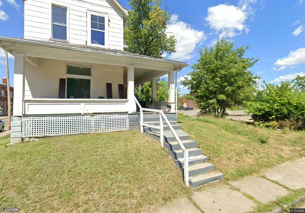
2398 Apple St Columbus, OH 43204
Central Hilltop NeighborhoodEstimated Value: $96,091
2
Beds
1
Bath
3,168
Sq Ft
$30/Sq Ft
Est. Value
About This Home
This home is located at 2398 Apple St, Columbus, OH 43204 and is currently estimated at $96,091, approximately $30 per square foot. 2398 Apple St is a home located in Franklin County with nearby schools including Highland Elementary School, Westmoor Middle School, and West High School.
Ownership History
Date
Name
Owned For
Owner Type
Purchase Details
Closed on
Feb 15, 2019
Sold by
Pataskala Partners Llc
Bought by
Vsquez Silvia
Current Estimated Value
Purchase Details
Closed on
Jan 7, 2008
Sold by
Salser Family Investment Pa
Bought by
Pataskala Partners Llc
Purchase Details
Closed on
Dec 21, 1990
Bought by
Salser Family Investment
Purchase Details
Closed on
Jan 1, 1984
Bought by
Salser Mary I
Purchase Details
Closed on
Oct 1, 1983
Create a Home Valuation Report for This Property
The Home Valuation Report is an in-depth analysis detailing your home's value as well as a comparison with similar homes in the area
Home Values in the Area
Average Home Value in this Area
Purchase History
| Date | Buyer | Sale Price | Title Company |
|---|---|---|---|
| Vsquez Silvia | $55,000 | Northwest Advantage Title Ag | |
| Pataskala Partners Llc | $65,000 | Attorney | |
| Salser Family Investment | -- | -- | |
| Salser Mary I | $23,300 | -- | |
| -- | -- | -- |
Source: Public Records
Tax History
| Year | Tax Paid | Tax Assessment Tax Assessment Total Assessment is a certain percentage of the fair market value that is determined by local assessors to be the total taxable value of land and additions on the property. | Land | Improvement |
|---|---|---|---|---|
| 2025 | $1,588 | $21,390 | $4,870 | $16,520 |
| 2024 | $1,588 | $21,390 | $4,870 | $16,520 |
| 2023 | $1,563 | $21,385 | $4,865 | $16,520 |
| 2022 | $1,386 | $18,480 | $4,970 | $13,510 |
| 2021 | $1,392 | $18,480 | $4,970 | $13,510 |
| 2020 | $1,382 | $18,480 | $4,970 | $13,510 |
| 2019 | $1,384 | $16,810 | $4,520 | $12,290 |
| 2018 | $1,327 | $16,810 | $4,520 | $12,290 |
| 2017 | $1,377 | $16,810 | $4,520 | $12,290 |
| 2016 | $1,372 | $15,760 | $4,520 | $11,240 |
| 2015 | $1,273 | $15,760 | $4,520 | $11,240 |
| 2014 | $1,273 | $15,760 | $4,520 | $11,240 |
| 2013 | $631 | $15,750 | $4,515 | $11,235 |
Source: Public Records
Map
Nearby Homes
- 27 S Oakley Ave
- 66 S Wheatland Ave
- 95 S Eureka Ave
- 126 S Oakley Ave
- 120 N Eureka Ave Unit 122
- 151 S Wayne Ave Unit 153
- 151 S Eureka Ave
- 121 N Terrace Ave
- 106 S Richardson Ave Unit 108
- 75 N Terrace Ave
- 137 Clarendon Ave
- 38 S Burgess Ave
- 204 S Wheatland Ave
- 90 S Burgess Ave
- 78 N Burgess Ave
- 34-36 Midland Ave
- 210 N Oakley Ave
- 107 Midland Ave Unit 107-109
- 209 S Terrace Ave
- 51 S Ogden Ave Unit 51H
- 39 S Wayne Ave
- 29 S Wayne Ave
- 23-25 S Wayne Ave
- 42 S Wayne Ave
- 23 S Wayne Ave Unit 25
- 2391 Apple St
- 2389 Apple St
- 2383 W Broad St
- 43 S Wayne Ave
- 2383 Apple St
- 2391 W Broad St
- 2391 W Broad St Unit 395
- 0 Apple St
- 2381 Apple St
- 47 S Wayne Ave
- 2403 W Broad St
- 2413 W Broad St
- 51 S Wayne Ave
- 31 S Oakley Ave
- 23 S Oakley Ave
Your Personal Tour Guide
Ask me questions while you tour the home.