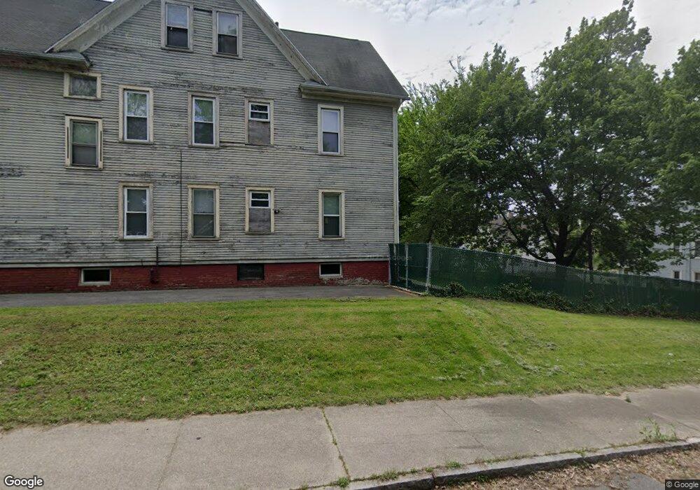
24-26 Leonard St Springfield, MA 01104
Liberty Heights NeighborhoodEstimated Value: $256,491 - $414,000
8
Beds
2
Baths
3,128
Sq Ft
$105/Sq Ft
Est. Value
About This Home
This home is located at 24-26 Leonard St, Springfield, MA 01104 and is currently estimated at $327,623, approximately $104 per square foot. 24-26 Leonard St is a home located in Hampden County with nearby schools including Mary M. Walsh Elementary School, High School Of Commerce, and Springfield High School of Science and Technology.
Ownership History
Date
Name
Owned For
Owner Type
Purchase Details
Closed on
Sep 30, 1998
Sold by
Barszczewski Andrew
Bought by
Young Donnette D
Current Estimated Value
Home Financials for this Owner
Home Financials are based on the most recent Mortgage that was taken out on this home.
Original Mortgage
$57,030
Outstanding Balance
$12,475
Interest Rate
6.89%
Mortgage Type
Purchase Money Mortgage
Estimated Equity
$315,148
Create a Home Valuation Report for This Property
The Home Valuation Report is an in-depth analysis detailing your home's value as well as a comparison with similar homes in the area
Home Values in the Area
Average Home Value in this Area
Purchase History
| Date | Buyer | Sale Price | Title Company |
|---|---|---|---|
| Young Donnette D | $58,500 | -- |
Source: Public Records
Mortgage History
| Date | Status | Borrower | Loan Amount |
|---|---|---|---|
| Open | Young Donnette D | $57,030 |
Source: Public Records
Tax History Compared to Growth
Tax History
| Year | Tax Paid | Tax Assessment Tax Assessment Total Assessment is a certain percentage of the fair market value that is determined by local assessors to be the total taxable value of land and additions on the property. | Land | Improvement |
|---|---|---|---|---|
| 2025 | $3,122 | $199,100 | $30,500 | $168,600 |
| 2024 | $2,952 | $183,800 | $30,500 | $153,300 |
| 2023 | $2,876 | $168,700 | $27,800 | $140,900 |
| 2022 | $3,508 | $186,400 | $25,900 | $160,500 |
| 2021 | $2,695 | $142,600 | $23,600 | $119,000 |
| 2020 | $2,672 | $136,800 | $23,600 | $113,200 |
| 2019 | $2,273 | $115,500 | $23,600 | $91,900 |
| 2018 | $2,186 | $122,800 | $23,600 | $99,200 |
| 2017 | $2,186 | $111,200 | $17,100 | $94,100 |
| 2016 | $2,080 | $105,800 | $17,100 | $88,700 |
| 2015 | $1,945 | $98,900 | $17,100 | $81,800 |
Source: Public Records
Map
Nearby Homes
- 29 Vinton St
- 60-62 Desrosiers St
- 392-394 Carew St
- 42 Ringgold St
- 482 Chestnut St
- 871 Worthington St
- 42-44 Narragansett St
- 133 Massasoit St
- 134 Massasoit St
- 57 Narragansett St
- 195-197 Massasoit St
- 60 Montmorenci St
- 56 Montmorenci St
- 140 Chestnut St Unit 402
- 140 Chestnut St Unit 607
- 140 Chestnut St Unit 202
- 75-77 Mooreland St
- 661 Carew St
- 5 Grant St
- 24 Morrell St
- 24 Leonard St Unit 26
- 18 Leonard St Unit 20
- 18-20 Leonard St
- 14 Leonard St Unit 16
- 85 Cass St
- 75 Cass St
- 73 Cass St
- 318 Franklin St Unit 320
- 318-320 Franklin St
- 312 Franklin St Unit 314
- 71 Cass St
- 67 Cass St
- 58 Vinton St Unit 60
- 0 Franklin St
- 295 Franklin St
- 292 Franklin St Unit 298
- 103 Belle St
- 61 Cass St
- 54-56 Vinton St
- 57 Cass St