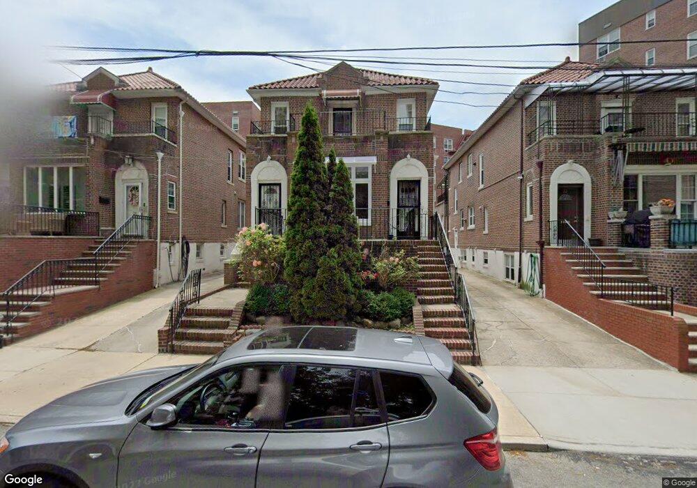
24 91st St Brooklyn, NY 11209
Fort Hamilton NeighborhoodEstimated Value: $1,479,000 - $1,955,434
Studio
--
Bath
2,550
Sq Ft
$653/Sq Ft
Est. Value
About This Home
This home is located at 24 91st St, Brooklyn, NY 11209 and is currently estimated at $1,664,109, approximately $652 per square foot. 24 91st St is a home located in Kings County with nearby schools including P.S. 185 Walter Kassenbrock, IS 201 Madeleine Brennan Intermediate School, and Fort Hamilton High School.
Ownership History
Date
Name
Owned For
Owner Type
Purchase Details
Closed on
Oct 3, 2024
Sold by
Vallone Francesca
Bought by
Vallone Eric and Vallone Francesca
Current Estimated Value
Purchase Details
Closed on
Jul 20, 2020
Sold by
Vallone Pasquale
Bought by
Vallone Francesca and Vallone Pasquale
Purchase Details
Closed on
Sep 26, 1996
Sold by
Vallone Pasquale
Bought by
Dipietro Ronald and Dipietro Francesca
Create a Home Valuation Report for This Property
The Home Valuation Report is an in-depth analysis detailing your home's value as well as a comparison with similar homes in the area
Home Values in the Area
Average Home Value in this Area
Purchase History
| Date | Buyer | Sale Price | Title Company |
|---|---|---|---|
| Vallone Eric | -- | -- | |
| Vallone Eric | -- | -- | |
| Vallone Francesca | -- | -- | |
| Vallone Francesca | -- | -- | |
| Vallone Francesca | -- | -- | |
| Dipietro Ronald | $125,000 | -- | |
| Dipietro Ronald | -- | -- |
Source: Public Records
Tax History
| Year | Tax Paid | Tax Assessment Tax Assessment Total Assessment is a certain percentage of the fair market value that is determined by local assessors to be the total taxable value of land and additions on the property. | Land | Improvement |
|---|---|---|---|---|
| 2025 | $14,717 | $111,720 | $22,260 | $89,460 |
| 2024 | $14,717 | $88,260 | $22,260 | $66,000 |
| 2023 | $14,024 | $107,460 | $22,260 | $85,200 |
| 2022 | $12,981 | $117,720 | $22,260 | $95,460 |
| 2021 | $12,900 | $93,780 | $22,260 | $71,520 |
| 2019 | $12,725 | $107,340 | $22,260 | $85,080 |
| 2018 | $11,670 | $58,710 | $12,708 | $46,002 |
| 2017 | $10,991 | $55,387 | $16,492 | $38,895 |
| 2016 | $10,136 | $52,254 | $14,213 | $38,041 |
| 2015 | $6,082 | $52,254 | $17,546 | $34,708 |
| 2014 | $6,082 | $51,859 | $19,371 | $32,488 |
Source: Public Records
Map
Nearby Homes
- 61 Oliver St Unit 6F
- 61 Oliver St Unit 1T
- 61 Oliver St Unit 5K
- 61 Oliver St Unit 5B
- 61 Oliver St Unit 4-P
- 61 Oliver St Unit 2V
- 61 Oliver St Unit 2P
- 9201 Shore Rd Unit C703/2
- 9201 Shore Rd Unit C701
- 9201 Shore Rd Unit D308
- 9201 Shore Rd Unit C-703
- 9201 Shore Rd Unit C403
- 9201 Shore Rd Unit B703
- 9201 Shore Rd Unit A505
- 35 Oliver St Unit 1D
- 9255 Shore Rd Unit 6C
- 15 Oliver St Unit 3-C
- 9265 Shore Rd Unit 4e
- 113 92nd St
- 20 Oliver St
- 28 91st St
- 20 91st St
- 20 91st St Unit 2
- 20 91st St Unit 1
- 20 91st St Unit 3
- 22 91st St Unit 2
- 38 91st St
- 38 91st St Unit Building
- 38 91 St
- 40 91st St
- 9101 Shore Rd Unit D-203
- 9101 Shore Rd Unit 606
- 9101 Shore Rd Unit 303
- 9101 Shore Rd Unit 620
- 9101 Shore Rd Unit 218
- 9101 Shore Rd Unit 525
- 9101 Shore Rd Unit 206
- 9101 Shore Rd Unit 504
- 9101 Shore Rd Unit 426
- 9101 Shore Rd Unit 407-2
Your Personal Tour Guide
Ask me questions while you tour the home.