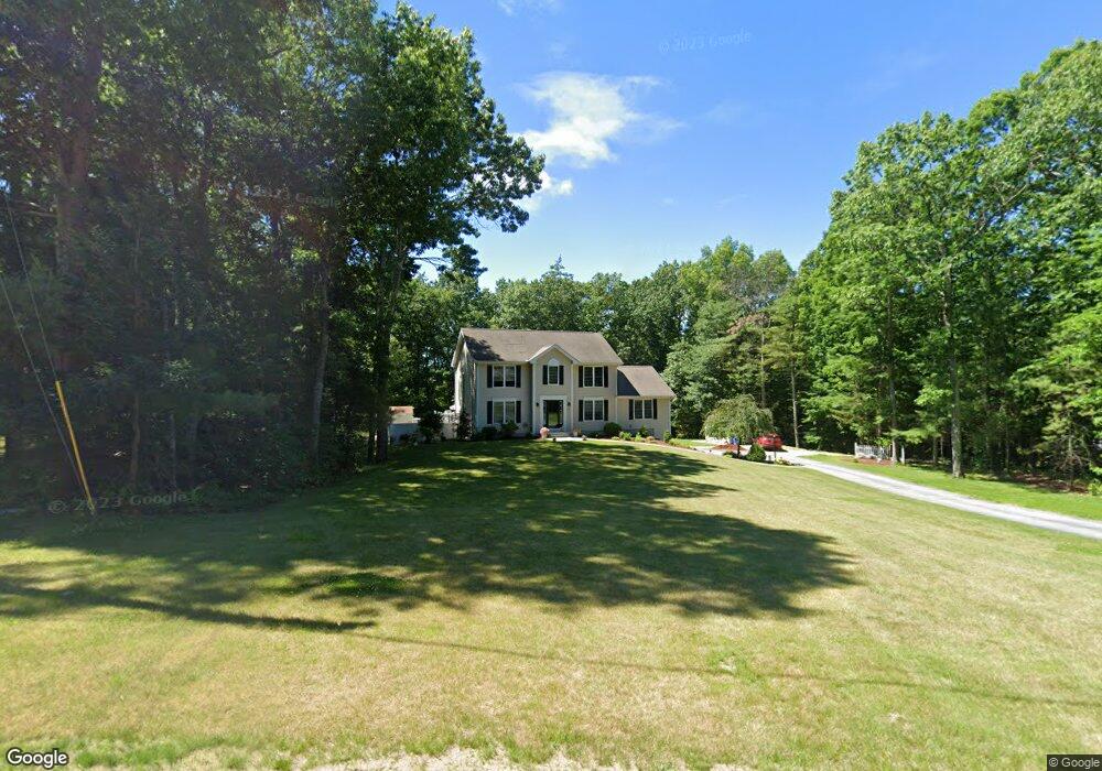
24 Acorn Dr Goffstown, NH 03045
Estimated Value: $632,461 - $711,000
3
Beds
3
Baths
2,120
Sq Ft
$315/Sq Ft
Est. Value
About This Home
This home is located at 24 Acorn Dr, Goffstown, NH 03045 and is currently estimated at $667,615, approximately $314 per square foot. 24 Acorn Dr is a home with nearby schools including Mountain View Middle School, Goffstown High School, and Namaste Montessori School.
Ownership History
Date
Name
Owned For
Owner Type
Purchase Details
Closed on
Apr 27, 2015
Sold by
Hayes Jodi L
Bought by
Jodi L Hayes Ret
Current Estimated Value
Purchase Details
Closed on
Oct 1, 1998
Sold by
R J Moreau Co Inc
Bought by
Hayes Robert M and Hayes Jodi L
Create a Home Valuation Report for This Property
The Home Valuation Report is an in-depth analysis detailing your home's value as well as a comparison with similar homes in the area
Home Values in the Area
Average Home Value in this Area
Purchase History
We collect this data history from publicly available records. To have your information removed, we recommend requesting removal directly through your county’s website.
| Date | Buyer | Sale Price | Title Company |
|---|---|---|---|
| Jodi L Hayes Ret | -- | -- | |
| Hayes Robert M | $159,900 | -- |
Source: Public Records
Mortgage History
We collect this data history from publicly available records. To have your information removed, we recommend requesting removal directly through your county’s website.
| Date | Status | Borrower | Loan Amount |
|---|---|---|---|
| Previous Owner | Hayes Robert M | $244,500 | |
| Previous Owner | Hayes Robert M | $25,000 | |
| Previous Owner | Hayes Robert M | $255,275 |
Source: Public Records
Tax History
| Year | Tax Paid | Tax Assessment Tax Assessment Total Assessment is a certain percentage of the fair market value that is determined by local assessors to be the total taxable value of land and additions on the property. | Land | Improvement |
|---|---|---|---|---|
| 2025 | $11,054 | $529,400 | $212,900 | $316,500 |
| 2024 | $10,821 | $529,400 | $212,900 | $316,500 |
| 2023 | $9,984 | $529,400 | $212,900 | $316,500 |
| 2022 | $9,274 | $352,500 | $140,200 | $212,300 |
| 2021 | $8,419 | $339,200 | $140,200 | $199,000 |
| 2020 | $8,419 | $339,200 | $140,200 | $199,000 |
| 2019 | $8,338 | $339,200 | $140,200 | $199,000 |
| 2018 | $6,309 | $339,200 | $140,200 | $199,000 |
| 2017 | $8,020 | $292,500 | $116,700 | $175,800 |
| 2016 | $7,731 | $292,500 | $116,700 | $175,800 |
| 2015 | $7,795 | $276,800 | $109,300 | $167,500 |
| 2014 | $7,474 | $276,800 | $109,300 | $167,500 |
Source: Public Records
Map
Nearby Homes
- 87 Juniper Dr
- 34 Horizon Dr
- 36 Peppermint St
- 234 Paige Hill Rd
- 145 Horizon Dr
- 218 Tirrell Hill Rd
- 19 Kelly Ct
- 144 S Mast St
- 16 Glenwood Dr
- 24 Donald Dr
- 41 Mathew Cir
- 106 Donald Dr
- 134 Mast Rd
- 22B Angel Point Cir
- 46 Riverledge Dr
- 130 Elm St
- 62 Roger Rd
- 55 Roger Rd
- 120 S Mast St
- 163 Woodview Way Unit 2
Your Personal Tour Guide
Ask me questions while you tour the home.