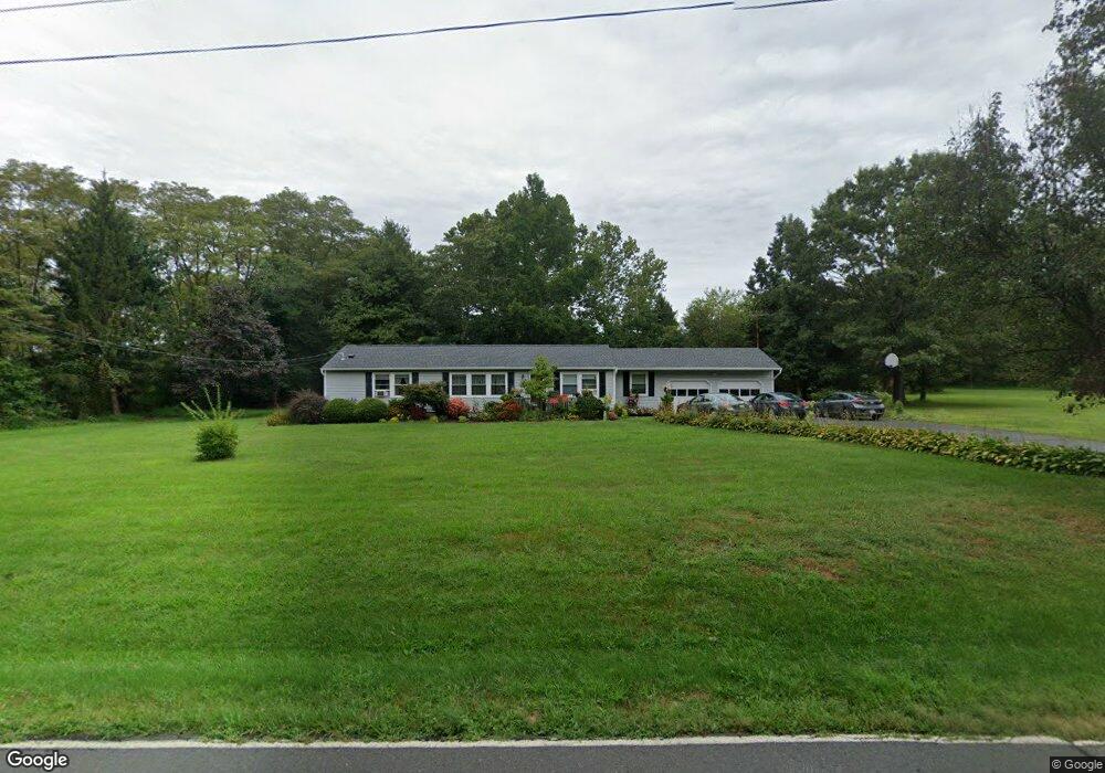
24 Allens Rd Hightstown, NJ 08520
Estimated Value: $541,112 - $740,000
--
Bed
--
Bath
1,344
Sq Ft
$455/Sq Ft
Est. Value
About This Home
This home is located at 24 Allens Rd, Hightstown, NJ 08520 and is currently estimated at $611,778, approximately $455 per square foot. 24 Allens Rd is a home located in Mercer County with nearby schools including Sharon Elementary School, Pond Road Middle School, and Robbinsville High School.
Ownership History
Date
Name
Owned For
Owner Type
Purchase Details
Closed on
Oct 30, 1995
Sold by
Price Louis
Bought by
Dehart Robert and Dehart Lisa
Current Estimated Value
Home Financials for this Owner
Home Financials are based on the most recent Mortgage that was taken out on this home.
Original Mortgage
$125,000
Outstanding Balance
$1,752
Interest Rate
7.62%
Estimated Equity
$610,026
Create a Home Valuation Report for This Property
The Home Valuation Report is an in-depth analysis detailing your home's value as well as a comparison with similar homes in the area
Home Values in the Area
Average Home Value in this Area
Purchase History
| Date | Buyer | Sale Price | Title Company |
|---|---|---|---|
| Dehart Robert | $156,500 | -- |
Source: Public Records
Mortgage History
| Date | Status | Borrower | Loan Amount |
|---|---|---|---|
| Open | Dehart Robert | $125,000 |
Source: Public Records
Tax History Compared to Growth
Tax History
| Year | Tax Paid | Tax Assessment Tax Assessment Total Assessment is a certain percentage of the fair market value that is determined by local assessors to be the total taxable value of land and additions on the property. | Land | Improvement |
|---|---|---|---|---|
| 2025 | $11,697 | $350,000 | $239,100 | $110,900 |
| 2024 | $10,917 | $350,000 | $239,100 | $110,900 |
| 2023 | $10,917 | $350,000 | $239,100 | $110,900 |
| 2022 | $10,493 | $350,000 | $239,100 | $110,900 |
| 2021 | $10,343 | $350,000 | $239,100 | $110,900 |
| 2020 | $10,346 | $350,000 | $239,100 | $110,900 |
| 2019 | $10,350 | $350,000 | $239,100 | $110,900 |
| 2018 | $10,283 | $350,000 | $239,100 | $110,900 |
| 2017 | $10,262 | $350,000 | $239,100 | $110,900 |
| 2016 | $10,168 | $350,000 | $239,100 | $110,900 |
| 2015 | $10,014 | $350,000 | $239,100 | $110,900 |
| 2014 | $10,049 | $350,000 | $239,100 | $110,900 |
Source: Public Records
Map
Nearby Homes
- 33 Allens Rd
- 342 Sharon Rd
- 299 Perrineville Rd
- 163 Sharon Station Rd
- 1305 1325 Route 130
- 309 Gordon Rd
- 360 Gordon Rd
- 2 Carriage Ct
- 332 Gordon Rd
- 20 Stonehedge Dr
- 824 Windsor Perrineville Rd
- 23 N Main St
- 4 Wendover Rd
- 45 Bennet Field Way
- 51 Bennet Field Way
- Hampton Plan at Preston Pointe
- 47 Bennet Field Way
- 32 Bennet Field Way
- 43 Bennet Field Way
- 49 Bennet Field Way