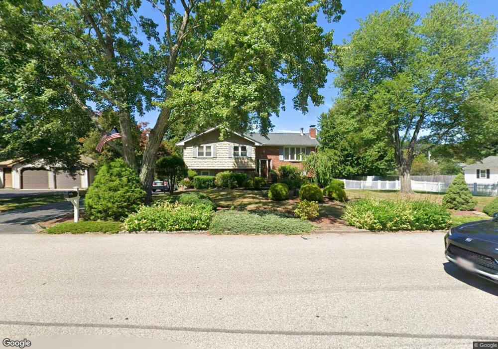
24 Armstrong Dr North Attleboro, MA 02760
Estimated Value: $547,032 - $600,000
3
Beds
2
Baths
1,188
Sq Ft
$486/Sq Ft
Est. Value
About This Home
This home is located at 24 Armstrong Dr, North Attleboro, MA 02760 and is currently estimated at $577,758, approximately $486 per square foot. 24 Armstrong Dr is a home located in Bristol County with nearby schools including North Attleboro High School, Cadence Academy Preschool - North Attleborough, and St John The Evangelist School.
Ownership History
Date
Name
Owned For
Owner Type
Purchase Details
Closed on
Sep 26, 2016
Sold by
Abellan Peter G and Abellan Alice W
Bought by
Abellan Ft
Current Estimated Value
Purchase Details
Closed on
Jan 1, 1969
Bought by
Abellan Peter G and Abellan Alice W
Create a Home Valuation Report for This Property
The Home Valuation Report is an in-depth analysis detailing your home's value as well as a comparison with similar homes in the area
Home Values in the Area
Average Home Value in this Area
Purchase History
| Date | Buyer | Sale Price | Title Company |
|---|---|---|---|
| Abellan Ft | -- | -- | |
| Abellan Peter G | -- | -- |
Source: Public Records
Mortgage History
| Date | Status | Borrower | Loan Amount |
|---|---|---|---|
| Previous Owner | Abellan Peter G | $120,000 | |
| Previous Owner | Abellan Peter G | $90,000 | |
| Previous Owner | Abellan Peter G | $90,000 |
Source: Public Records
Tax History Compared to Growth
Tax History
| Year | Tax Paid | Tax Assessment Tax Assessment Total Assessment is a certain percentage of the fair market value that is determined by local assessors to be the total taxable value of land and additions on the property. | Land | Improvement |
|---|---|---|---|---|
| 2025 | $5,625 | $477,100 | $150,800 | $326,300 |
| 2024 | $5,376 | $465,900 | $150,800 | $315,100 |
| 2023 | $5,565 | $435,100 | $150,800 | $284,300 |
| 2022 | $5,369 | $385,400 | $150,800 | $234,600 |
| 2021 | $5,234 | $366,800 | $150,800 | $216,000 |
| 2020 | $5,094 | $355,000 | $150,800 | $204,200 |
| 2019 | $4,897 | $343,900 | $137,100 | $206,800 |
| 2018 | $4,361 | $326,900 | $137,100 | $189,800 |
| 2017 | $4,163 | $314,900 | $137,100 | $177,800 |
| 2016 | $4,048 | $306,200 | $152,300 | $153,900 |
| 2015 | $3,776 | $287,400 | $152,300 | $135,100 |
| 2014 | $3,560 | $268,900 | $133,700 | $135,200 |
Source: Public Records
Map
Nearby Homes
- 255 Mckeon Dr
- 11 Buckthorn Ln
- 115 Westfield Dr
- 196 Donald Tennant Cir
- 21 Shady Ln
- 20 Sperry Ln
- 150 Gilbert St
- 57 Vine St
- 11 Landry Ave
- 747 N Main St
- 451R Gilbert St
- 59 Laurelwood Dr
- Lot 2 Jeffrey Dr
- 678 N Main St
- 158 Ivy St
- Lot 5 Jeffrey Dr
- 71 Richardson Ave
- 10 Hazelwood Ct
- 12 Houde St
- 5 Old Wood Rd